Gianh River

Top 10 in Top 10 Longest Rivers in Vietnam

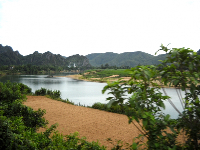
The Gianh River (Vietnamese: Sông Gianh) is a river on Vietnam's North Central Coast (Bắc Trung Bộ ) in the Quảng Bình Province. The river runs for 268 kilometers (167 miles).
It served as the border between ruling families during Vietnam's partition following the Trịnh–Nguyễn War of the 17th century, effectively dividing the country into northern and southern regions. From 1954 to 1975, the 17th parallel served as the border between North and South Vietnam and was located just to the south, at the Bến Hải River River in Quảng Trị Province.
Gianh river is 268 kilometers long (121 kilometers of which are managed) and consists of:
- Nay head-waters is 130 km long
- Rao Tro head-waters is 40 km long
- Rao Nan head-waters is 34 km long
- Son head-waters is 64 km long
- Tide-mark (amplitude) 1,9-2,2 m, averagely 1,2-1,35 m
Length: 268 kilometres (167 mi)