Chatkal

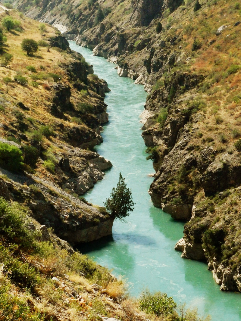
The Chatkal River, which flows 189 kilometers through a desolate valley in the country's extreme west, ranks sixth on this list of the major rivers in Uzbekistan. This river is located in the Western Tian Shan mountain range. The Chandalash range and the 120-kilometer-long mountain range of the same name flank it. Along with the lower slopes of the Chatkal River, which flows into Uzbekistan, walnut orchards, as well as Semyonov's maple and, less frequently, ash and tree-like hawthorns, can be found.
The Chatkal is a river in Kyrgyzstan's Jalal-Abad region and Uzbekistan's Tashkent region. It is Chirchiq's left source river in the Syr Darya basin. It is known as Karakulja in its upper reaches. The river runs for 223 kilometers and has a basin size of 7,110 square kilometers. It begins where the Chatkal Range meets the Talas Ala-Too Range. From the left, the Aksuu, Kokuybel, Avletim, Ters, and Nayza (Oqbuloq), and from the right, the Karakysmak, Beshterek, Chandalash, and Köksuu. Water flows at a rate of 122 cubic meters per second on average at the mouth, with a maximum of 920 cubic meters per second.
Length: 223 km


