Top 7 Major Rivers in Uzbekistan

In Uzbekistan, water resources are vital and irreplaceable. They take up large flat areas. Water is used for irrigation, and its energy is used to generate ... read more...electricity. The Uzbek man transformed garbage into beautiful oases, flooding cities and villages with brightness, thanks to water. Below, Toplist has compiled some of the top major rivers in Uzbekistan.
-
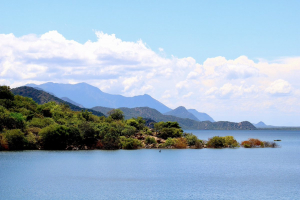
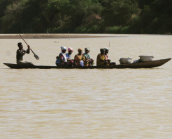
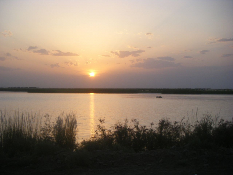
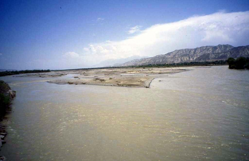
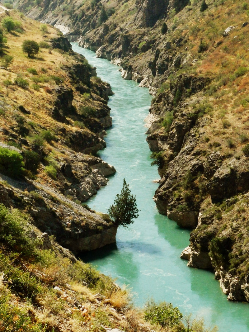
The Amu Darya rises in Tajikistan, formed by the confluence of the Panj and Vakhsh rivers. It ranks first among the top major rivers in Uzbekistan. It flows into the Aral Sea after traveling 1400 kilometers via Tajikistan, Afghanistan, Uzbekistan, and Turkmenistan. The Amu Darya gets its name from the terms "Amu" (the ancient city of Amul) and "Darya", which means "river". However, it was once known as the Vakhsh, after the Zoroastrian goddess of water and fertility. Vakhsh is now simply the name of one of its tributaries. Furthermore, throughout Alexander the Great's Asian conquest, this gorgeous river was known by many names, including Rakha, Arankha, Dzheykhun, Okuz, Oksho, and Oxus.
Large cities grew and vanished on its banks as the river shifted its course in the lowlands or inundated villages. To date, cities around the river include Termez, Turkmenabat, Urgench, and Nukus.
The Amu Darya was once utilized extensively for navigation, but today only small ships can be observed near Turkmenabat. The lower reaches are used for fishing, while the upper reaches, which are located in Tajik territory, are dammed to generate energy. The Amu Darya is mostly utilized for agriculture, and its flow is so strong that its water barely makes it to the dry Aral Sea.
Length: 2,540 km
en.wikipedia.org/wiki/Amu_Darya 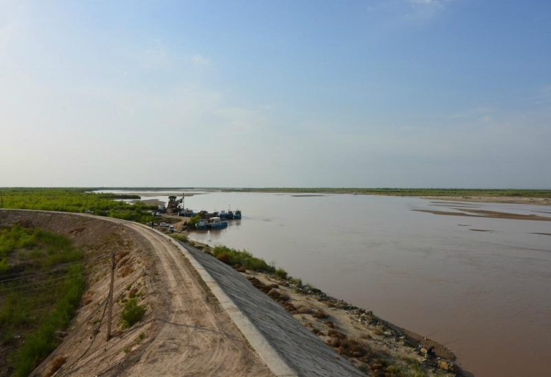
https://www.azernews.az/ -
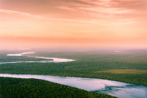
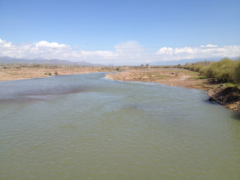
Syr Daya is one of the major rivers in Uzbekistan. It stretches for about 2200 kilometers. Kyrgyzstan, Uzbekistan, Tajikistan, and Kazakhstan are all bordered by it. The majority of the riverbed passes through Kazakhstani steppes, where cities like Kyzyl-Orda and Baikonur were established. The Syr Darya flows into the Small Aral two thousand kilometers to the north in Central Asia. The Syr Darya is quite meandering in its middle and lower sections, with various overflow areas and a channel filled with reeds and tugai trees. These river overflows are commonly used for agriculture, such as growing rice, gourds, and even full-fledged gardens. The Syr Darya delta is swampy, with tiny lakes sprouting here and there.
The Syr Darya also features a hydropower facility and a number of reservoirs, the most well-known of which are the Kairakkum and Chardarya reservoirs. The Chardarya reservoir dam was unable to withstand the level of water during the flood of 1969, which is an intriguing fact. As a result, the water was diverted to the Arnasay lowland. Lake Aydarkul was formed in this manner. It grew to its current size in succeeding years as a result of frequent floods, becoming Uzbekistan's second-largest river.
The Syr Darya has been a factor in the formation of cities for millennia. The river was referenced in ancient documents under many names and was frequently associated with these cities. Ancient Greek authors, on the other hand, called it Tanais, the same name they gave to the Russian Don.
Length: 2,256 km
https://www.worldatlas.com/ 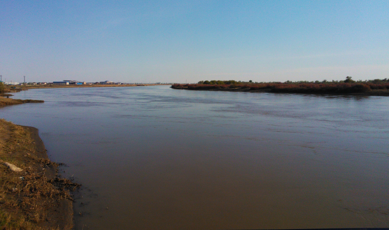
https://commons.wikimedia.org/ -
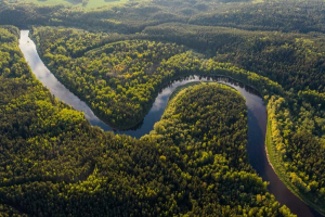
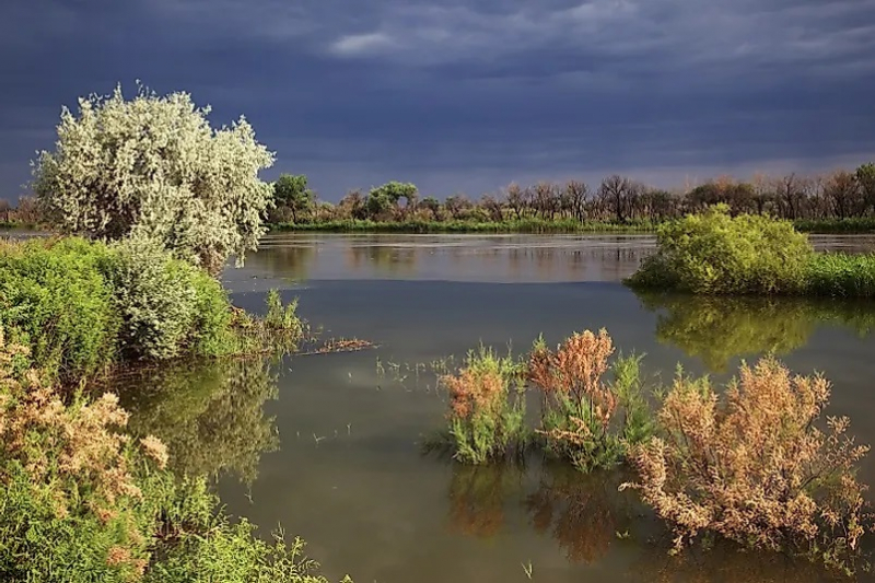
In terms of flow and length, the Zerafshan River, also known as Zarafshan, cannot match the Amu Darya and Syr Darya, but it is no less important in Central Asian history. It rises in the depths of the Zeravshan Mountains and flows through Tajikistan for half of its length before gradually disappearing in Uzbekistan. The river has always had a greater significance than the Amu Darya, of which it was a tributary. "Gold-bearing" is how Zarafshan is translated from Persian. It was termed Politimet by ancient Greek historians, which means "multi-revered," and Nami by Chinese travelers, which meant "noble, revered".
Its banks are home to two Central Asian pearl cities: Samarkand, which was built 2700 years ago on the Zerafshan River, and Bukhara, which is located downstream. The banks of the Zarafshan are also home to Zamanbobo, a Neolithic settlement, and Sarazm, an ancient city whose ruins are now listed on the UNESCO World Heritage List. There are additional cities like Pendjikent (Tajikistan), Navoi (Uzbekistan), and numerous tiny settlements along the river.
The river is 877 kilometers long, and while it is fed by multiple tributaries at its head, its lower reaches feed numerous channels, which use 85 percent of the water to irrigate 560,000 hectares of land. Tajikistan also intends to construct many hydroelectric power stations along the river's banks. This river is extremely valuable to the residents of the entire region.
Length: 877 km
https://www.people-travels.com/ -
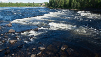
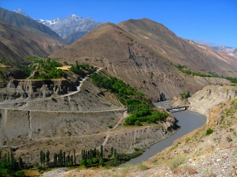
The Naryn River starts in Central Asia's Tian Shan Mountains and flows west through the Fergana Valley into Uzbekistan. The Syr Darya is formed when it joins the Kara Darya (near Namangan). It runs for 807 kilometers (501 miles) and has a basin size of 59,100 square kilometers (when combined with its upper course, Chong-Naryn). It has a flow of 13.7 cubic kilometers per year.
The river has a number of reservoirs that are vital for hydroelectric power generation. The Toktogul Reservoir in Kyrgyzstan is the largest, holding 19.9 cubic kilometers of water. Kürpsay, Tash-Kömür, Shamaldy-Say, and Üch-Korgon are dams downstream of the Toktogul in Kyrgyzstan. The Kambar-Ata-2 and At-Bashy Dams are located downstream of Toktogul in Kyrgyzstan, while the Kambar-Ata-1 Dam is still in the design phases.
There are also places along the river such as Kara-Say (see Barskoon), Naryn Region, Naryn, Dostuk, Jalal-Abad Region, Kazarman, Toktogul Reservoir, Kara-Köl, Tash-Kömür, Kyrgyzstan.
Length: 807 km
en.wikipedia.org/wiki/Naryn_(river) 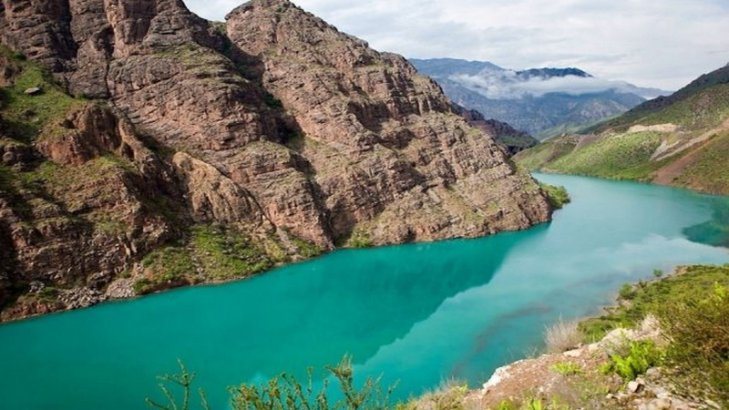
https://www.baibol.kg/ -
With a length of 233 kilometers and a basin size of 5.3,000 square kilometers, the river Ahangaran (Angren) flows through Uzbekistan. Water use averages 20.2 cubic meters per second. It is produced by a number of streams that run down from the Chatkal and Kuraminsky ranges' northern sides.
The Angren Plateau cuts through a deep canyon in the upper and middle sections of Angren, after which the river valley forms a wide gap between the Chatkal Range's extension in the northwest and the Kuraminsky Range's extension in the southeast. Akhangaran enters the Chirchik valley in its lower reaches and flows parallel to it till it joins the Syr Darya.
The right tributaries of Angren rush down from the Chatkal mountain in the top and middle regions of its valley, forming deep canyons. They take on the appearance of flat rivers as they reach the Akhangaran plateau, with a tranquil flow and tortuosity. The tributaries fall sharply as they approach Angren, and they are flung into it by spectacular waterfalls.
Length: 223 km
en.wikipedia.org/wiki/Angren_(river) 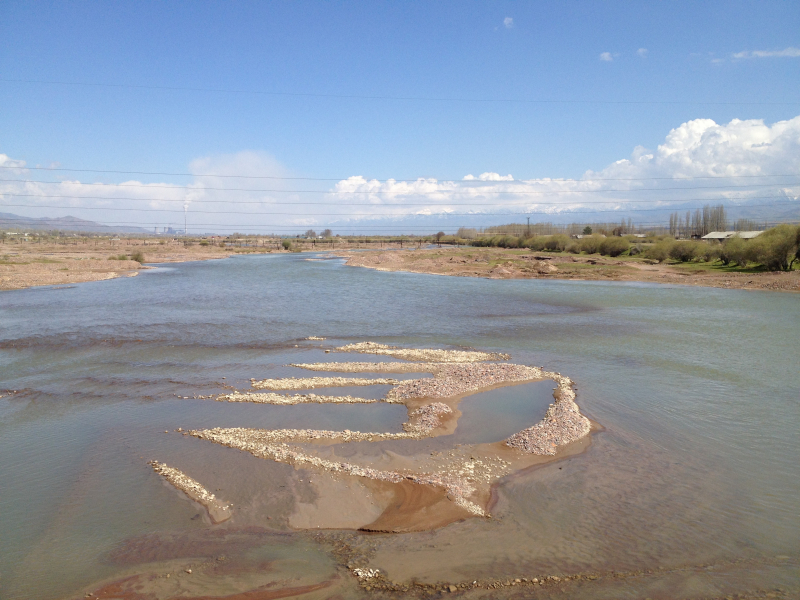
https://commons.wikimedia.org/ -
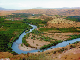
The Chatkal River, which flows 189 kilometers through a desolate valley in the country's extreme west, ranks sixth on this list of the major rivers in Uzbekistan. This river is located in the Western Tian Shan mountain range. The Chandalash range and the 120-kilometer-long mountain range of the same name flank it. Along with the lower slopes of the Chatkal River, which flows into Uzbekistan, walnut orchards, as well as Semyonov's maple and, less frequently, ash and tree-like hawthorns, can be found.
The Chatkal is a river in Kyrgyzstan's Jalal-Abad region and Uzbekistan's Tashkent region. It is Chirchiq's left source river in the Syr Darya basin. It is known as Karakulja in its upper reaches. The river runs for 223 kilometers and has a basin size of 7,110 square kilometers. It begins where the Chatkal Range meets the Talas Ala-Too Range. From the left, the Aksuu, Kokuybel, Avletim, Ters, and Nayza (Oqbuloq), and from the right, the Karakysmak, Beshterek, Chandalash, and Köksuu. Water flows at a rate of 122 cubic meters per second on average at the mouth, with a maximum of 920 cubic meters per second.
Length: 223 km
en.wikipedia.org/wiki/Chatkal 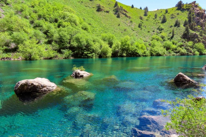
https://central-asia.guide/ -
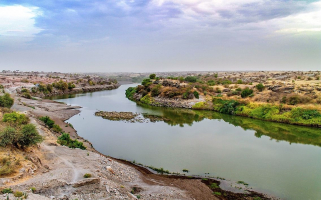
Kara Darya is a long and large river in southern Kyrgyzstan and eastern Uzbekistan. The Kara Darya is one of the Syr Darya's two source rivers, the other being the Naryn. The confluence of the rivers Kara-Kulja and Tar forms the Kara Darya. It has a 177-kilometer length and a watershed area of 30,100 square kilometers.
The upper Kara Darya flows northwest through eastern Osh, parallel to the Fergana Range and southwest of it. A few kilometers west of zgön, it reaches the Fergana Valley and Uzbek territory. It is utilized for irrigation in its lower course in the Fergana Valley. Part of the water from a dam in Kuyganyor (north of Andijan) is diverted into the Great Fergana Canal. The Andijan Reservoir was produced by the Andijan Dam, which was completed in 1973. The Kara Darya has about 200 recognized tributaries, the greatest of which are, from source to mouth:
Kara Kulja (right), Tar (left), Jazy (right), Kurshab (left), Kögart (right), Kara-Üngkür (right), Aravansay (left).
Length: 177 km
en.wikipedia.org/wiki/Syr_Darya 
https://commons.wikimedia.org/