Syr Darya

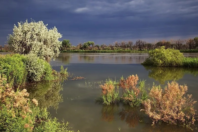
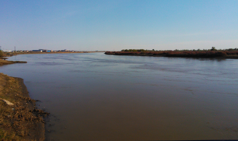
Syr Daya is one of the major rivers in Uzbekistan. It stretches for about 2200 kilometers. Kyrgyzstan, Uzbekistan, Tajikistan, and Kazakhstan are all bordered by it. The majority of the riverbed passes through Kazakhstani steppes, where cities like Kyzyl-Orda and Baikonur were established. The Syr Darya flows into the Small Aral two thousand kilometers to the north in Central Asia. The Syr Darya is quite meandering in its middle and lower sections, with various overflow areas and a channel filled with reeds and tugai trees. These river overflows are commonly used for agriculture, such as growing rice, gourds, and even full-fledged gardens. The Syr Darya delta is swampy, with tiny lakes sprouting here and there.
The Syr Darya also features a hydropower facility and a number of reservoirs, the most well-known of which are the Kairakkum and Chardarya reservoirs. The Chardarya reservoir dam was unable to withstand the level of water during the flood of 1969, which is an intriguing fact. As a result, the water was diverted to the Arnasay lowland. Lake Aydarkul was formed in this manner. It grew to its current size in succeeding years as a result of frequent floods, becoming Uzbekistan's second-largest river.
The Syr Darya has been a factor in the formation of cities for millennia. The river was referenced in ancient documents under many names and was frequently associated with these cities. Ancient Greek authors, on the other hand, called it Tanais, the same name they gave to the Russian Don.
Length: 2,256 km


