Chattahoochee River


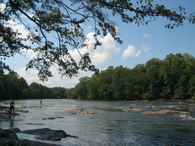
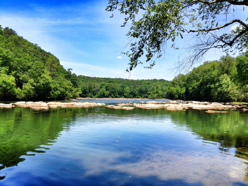
Chattahoochee River is one of the longest rivers in Georgia. This river, which is known in Florida as the Apalachicola River, forms part of the Alabama-Georgia border. The Apalachicola River is the river's principal tributary, and it begins at Jacks Knob in Union County. The Apalachicola–Chattahoochee–Flint River Basin includes the Apalachicola, Flint, and Apalachicola rivers. The Chattahoochee River forms the greatest portion of the basin. All of these rivers eventually pour their contents into the Gulf of Mexico. With the last significant storm in September 2009, flooding has not been a serious concern.
The Chattahoochee River's headwaters are at Jacks Gap, near the southeastern foot of Jacks Knob, in Union County's far southeast corner, in the southern Blue Ridge Mountains, a subrange of the Appalachian Mountains. The river's headwaters run south from the Tennessee Valley Divide's ridges. The Appalachian Trail runs through the river's upper reaches. Chattahoochee National Forest contains the Chattahoochee's headwaters and upper course. The Chattahoochee River runs southwesterly from its source in the Blue Ridge Mountains to Atlanta and its suburbs. It runs via Columbus, Georgia's third-largest city, and the Fort Benning Army post, passing through a succession of reservoirs and manmade lakes. It crosses the eastern United States' Fall Line in Columbus.
Length: 430 miles