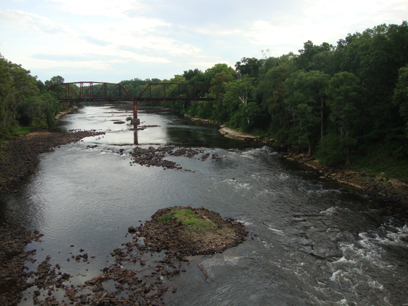
Tallapoosa River


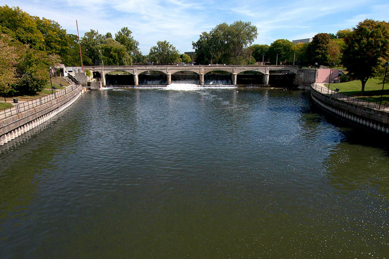
The Tallapoosa River flows 265 miles from Georgia's southern end of the Appalachian Mountains southward and westward into Alabama's Appalachian foothills. A dam on the river has created Lake Martin near Alexander City, Alabama, which is a big and popular water recreation facility. The Alabama River is formed where the Tallapoosa River joins the Coosa River in Wetumpka, about 10 miles northeast of Montgomery. The Tallapoosa River has four hydroelectric dams: Yates, Thurlow, Martin, and Harris. They are key generators of power for Alabama Power as well as public leisure.
Before the early nineteenth century, the Tallapoosa River, particularly its lower course, was an important Creek Indian population center. The Creek words Talwa posa, which means "Grandmother Town," are the river's current name. The Tallapoosa branch of the Creek tribe is considered to be one of the oldest. The National Park Service manages Horseshoe Bend National Military Park, which is located along the banks of the Tallapoosa River immediately upstream from Lake Martin. It protects the location of a fight during the Creek War.
Length: 265 miles