Davao River

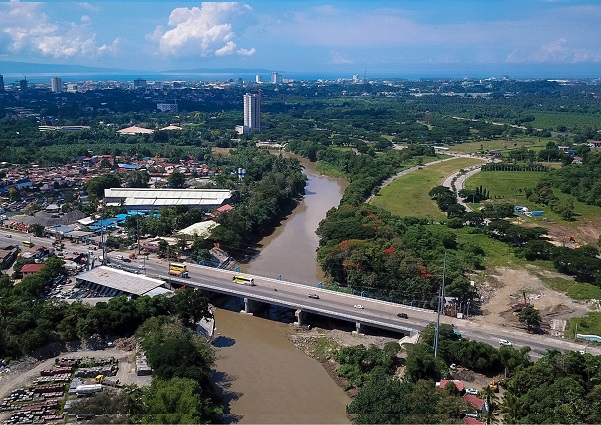
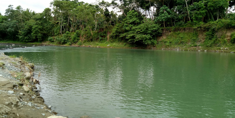
The Davao River is the third largest river in the southern Philippines, located on the island of Mindanao. It drains an area of more than 1,700 square kilometers (660 square miles) and has a total length of 170 kilometers (110 mi). The majority of the land is upland. Average river flows near the mouth are estimated to be 70 to 80 cubic metres per second (2,500 to 2,800 cu ft/s). Throughout the year, the climate is relatively uniform, with evenly distributed rainfall, temperatures, and humidity (rainfall = 2600mm, Actual Evap 1028mm). Typhoons are uncommon in the area.
River discharge measurements taken between 1984 and 1990 revealed an average river flow of about 78 cubic meters per second. Davao City's primary drinking water sources are in the Talomo watershed. These sources are under stress, and water abstraction from the Davao River Basin is likely in the near future.
The Environmental Management Bureau collects samples from eight different locations along the Tamugan River, from its confluence to its mouth. The water is classified as Class A – Public Water Supply Class II from the Tamugan River confluence with the Davao River downstream to DDF Subdivision, Mandug. From this point to the sea, the water is classified as Class B or recreational water class I. Analyses of dissolved oxygen over the last four years have revealed no discernible change in quality. The current water quality monitoring is insufficient for monitoring and evaluating pollution levels and trends in the river.
Length: 170 km (110 mi)


