Rio Grande de Mindanao

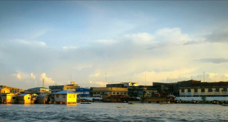
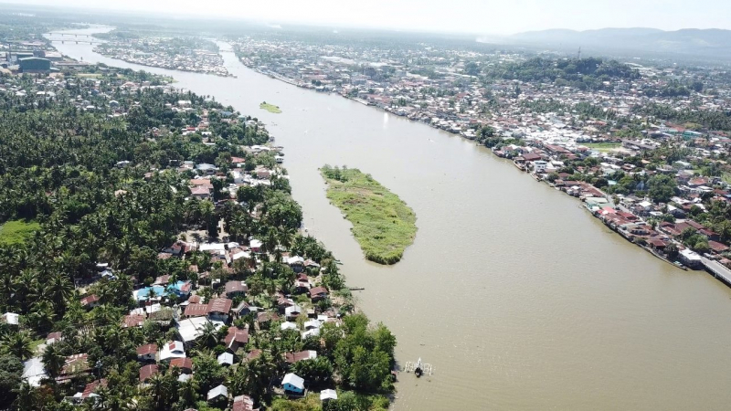
The Rio Grande de Mindanao, also known as the Mindanao River, is the Philippines' second-largest river system. Located on Mindanao's southern island, with a total drainage area of 23,169 km2 (8,946 sq mi), draining the majority of the island's central and eastern portions, and a total length of approximately 373 km (232 mi). It is a vital transportation artery, primarily used to transport agricultural products and, formerly, timber.
Its source is in the mountains of Impasugong, Bukidnon, south of Gingoog City, Misamis Oriental, where it is known as the Pulangi River. It merges with the Kabacan River to form the Mindanao River. Flowing from the mountains, it forms the heart of a broad, fertile plain in the island's southcentral region. It divides into two parallel sections before its mouth in Illana Bay, the Cotabato and Tamontaka, separated by a 180 m (590 ft) hill.
Cotabato City, Datu Piang, and Midsayap are among the population centers along the river.
Length: 373 km (232 mi)