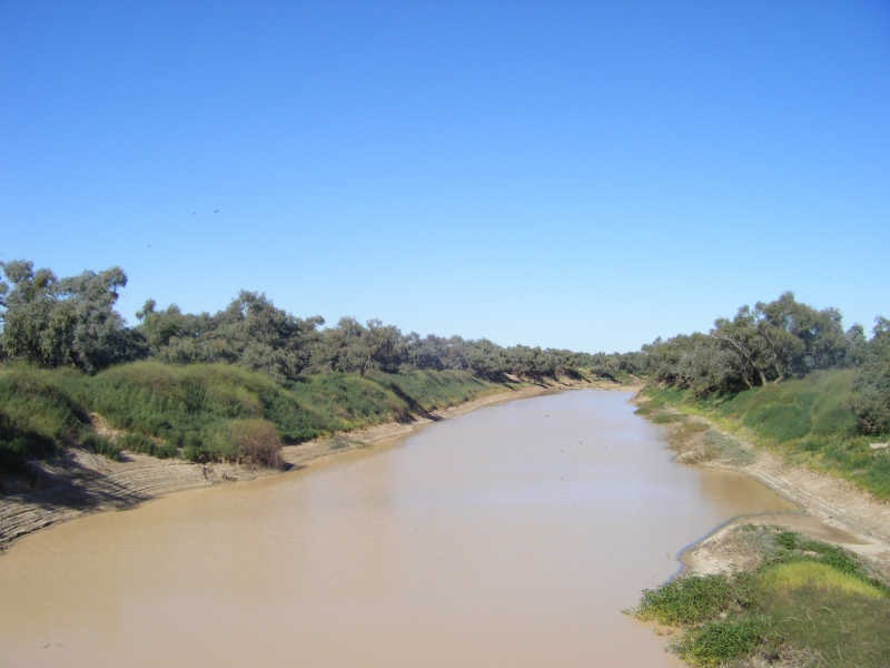
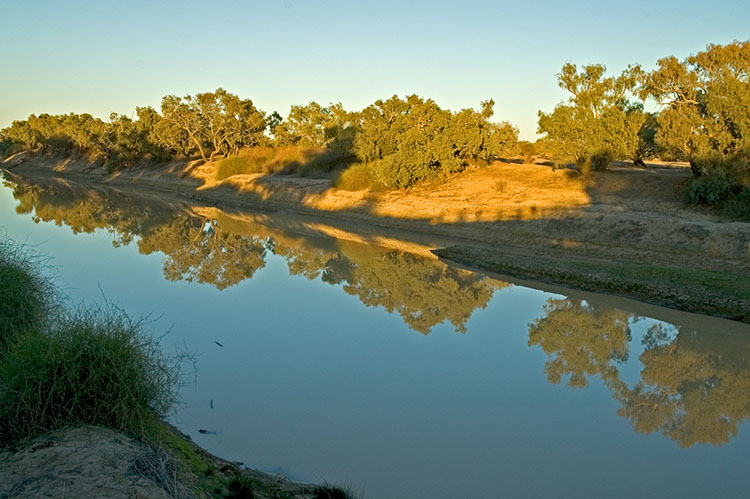
Diamantina River

The Diamantina River springs northwest of Longreach in the Kirby's Range and only flows seasonally via Birdsville to the Goyder Lagoon in South Australia. It flows into a 158, 000-square-kilometer basin.
During a flood, the Georgina River and the Diamantina converge, transporting grain to Lake Eyre through Warburton Creek. The Diamantina's main tributaries are the Mayne and Western Rivers.
The river rises north-west of Longreach in Queensland's Swords Range and runs south-west across central Queensland and the Channel Country before merging with the Georgina River to create the Warburton River. The Warburton River can reach Lake Eyre in exceptionally rainy years. The Diamantina River runs for around 900 kilometers (560 miles), and the basin covers about 157,000 square kilometers (61,000 square miles), with 140,000 square kilometers (54,000 square miles) utilized for agriculture.
The Diamantina's basin is mostly flat—even the highest mountains in the northeast don't rise over 500 meters (1,600 feet), and Lake Eyre is 16 meters (52 feet) below sea level. Almost all rivers in the basin flow southwestwards towards Birdsville, with the exception of a few streams around Winton (the region's largest town). The Diamantina River does not have a main channel; instead, it is made up of a collection of large, shallow waterways. Diamantina National Park, located midway between Winton and Birdsville, is a prominent feature in the river's slow path. Aside from the national park, practically all of the land in the basin is utilized for grazing cattle and sheep, however the numbers fluctuate a lot and graziers need a lot of expertise.
The river is ephemeral, with several semi-permanent waterholes, due to the area's alternating drought and flood cycles. The river's maximum recorded flow rate was 4,700 cubic meters per second (170,000 cubic feet per second) near Birdsville in 1974.
Geoscience Australia has identified the Diamantina as a crustal anomaly that extends along the northern and eastern rims of a nearly circular zone spanning 130 km wide. Although proof of the reason is still lacking, it is thought that the anomaly was generated by an asteroid hit some 300 million years ago.
State: Queensland/South Australia
Length: 941 km


