


Top 10 Longest Rivers in Australia

Some of the world's most beautiful rivers and river systems may be found in Australia. Its country is famed for its abundance of natural beauty, and our river ... read more...systems play an important role in that. Australia's rivers are not only beautiful to look at, but they are also part of a large ecosystem that supports a diverse range of animal species. In fact, several Australian rivers have become famous tourist destinations due to their beauty. The following are Australia's longest rivers.
-
The Murray River, at 2,508 kilometers, is Australia's longest river. The Murray River begins in the Asutralian Alps' Great Dividing Range, runs across the country's south-east, and empties into the Indian Ocean near Adelaide.
The Mitta Mitta River (160km), the Kiewa River (100km), the Murrumbidgee River (1,486km), the Goulburn River (654km), and the Darling River are all major tributaries (1,545km).
The river has a long history, since indigenous peoples have relied on it for food for millennia. The river was also culturally significant to the aboriginal people that lived in the river's basin. The story of a hunter hunting a Murray cod and cutting out the river was a popular one among the tribes. European explorers found the river in 1824, and it has since been used for transportation, agriculture, and water supply.
Today, the Murray River is home to dams, locks, and weirs used to manage water levels during droughts and floods, as well as hydropower plants. The annual canoe race, for example, is a major social and recreational event in River Murray. Murray cod, perch, catfish, western carp gudgeon, and trout cod are among the aquatic wildlife found in the river. Turtles, koalas, pelicans, Gray kangaroos, and lizards are among the other wildlife found in the river's basin. Increased saline levels, climate change, and over-extraction of water have all had a severe influence on the river.
State: New South Wales/South Australia
Length: 2,508 km
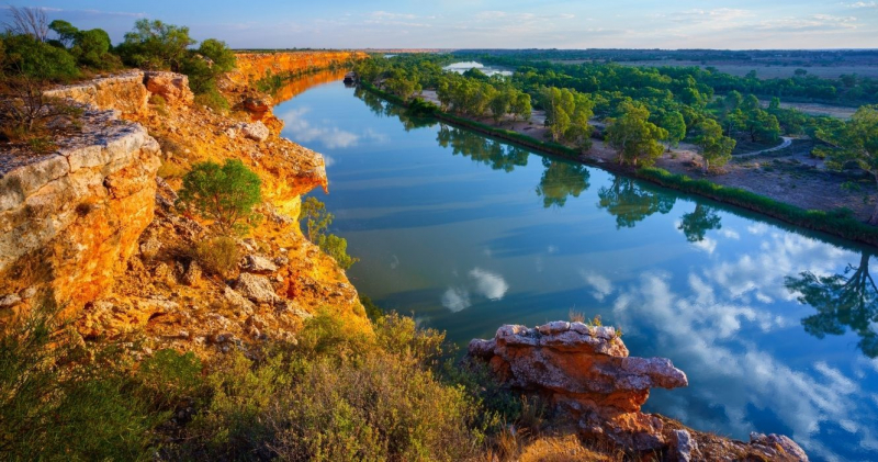
Photo: TheTravel 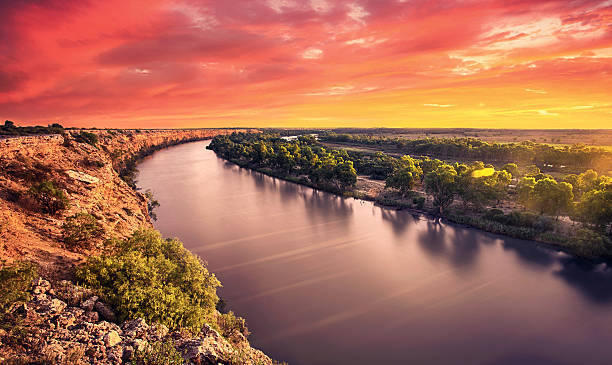
Photo: iStock -
Murrumbidgee means "large water" in Aboriginal culture, and the quantity of mussels, crayfish, and fish in the river provided the Wiradjuri tribe with food for thousands of years. Wildfowl, turkeys, bandicoots, emus, and kangaroos are among the local wildlife.
The city of Wagga Wagga was founded on the south side of the river in 1832, and it eventually spread over the river to North Wagga Wagga. The river rises 32 kilometers north of Kiandra and runs southeast before turning north and passing through the Australian Capital Territory.
Between Balranald and Maude, it turns again to run westward, where it is joined by the Lachlan. It enters the Murray River 140 kilometers from the Victorian border.
The Murrumbidgee River is a key tributary of the Murray River, and as such, it is a component of the enormous Murray-Darling basin. It runs through the Australian Capital Territory before meeting the Murray River at Boundary Bend, starting at the foot of Peppercorn Hill in the Fiery Range of the Snowy Mountains.
Many animal species may be found along the Murrumbidgee River, which also includes nature reserves. In addition, there are eight leisure areas and a European historical protection zone.State: New South Wales/Australian Capital Territory
Length: 1,485 km
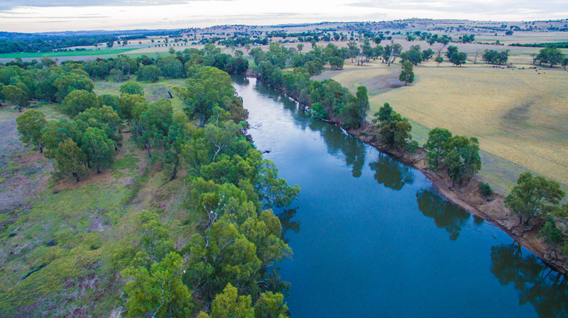
Photo: Social Fishing 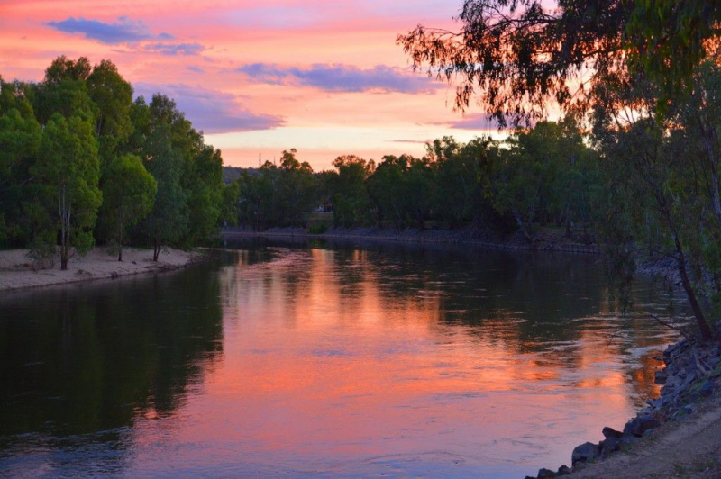
Photo: Wagga Wagga -
The Darling River begins in New South Wales and ends in Wentworth, where it joins the Murray River. It is the outback's most significant watercourse. A large portion of the Darling River travels through saltbush grasslands, which lose more water owing to evaporation than rainfall due to a lack of rain. Tourists planning to visit Australia's longest rivers in 2020 may be surprised to learn that the Darling River, which had been threatened, is now flowing again, as reported in May 2019.
The Darling - Murray Basin has been drying for some years, and if the dry weather continues, the Darling River will most likely not be on the list of longest rivers in 2021.
The Darling River, which originates in southwest Queensland, is a tributary of the Murray River. For ages, the river has been utilized for navigation. The river's waters are used for small-scale agriculture and grazing along its banks. To manage floods and provide irrigation programs, a network of dams and reservoirs has been erected. However, excessive water extraction has resulted in a decrease in water quantity. Pesticide pollution and long periods of drought have had a severe influence on the river's flow. Perch, catfish, Murray cod, and Murray hardyhead, as well as lizards, frogs, turtles, rats, koalas, and possums, live in the river.
State: New South Wales
Length: 1,472 km
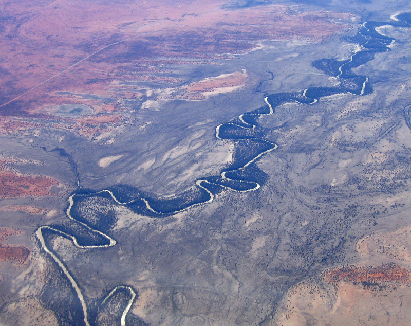
Photo: Wikipedia 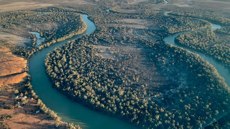
Photo: www.abc.net.au -
The Lachlan River is the Murrumbidgee River's main tributary. It springs in the eastern highlands eight miles east of Gunning and flows northwest, damming up 48 kilometers from Cowra to construct the Wyangala Reservoir. It continues beyond Forbes before turning southwest past Lake Cargelligo and joining the Murrumbidgee River.
The Lachlan River's main channel is around 1,448 kilometers long, however it may run dry during a severe drought. Both sheep and wheat cultivation are supported by the Lachlan. The headwaters lie on the Breadalbane Plane, with heights up to 1,400 meters on the eastern ends.
State: New South Wales
Length: 1,448 km
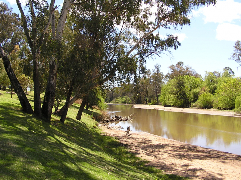
Photo: Wikipedia 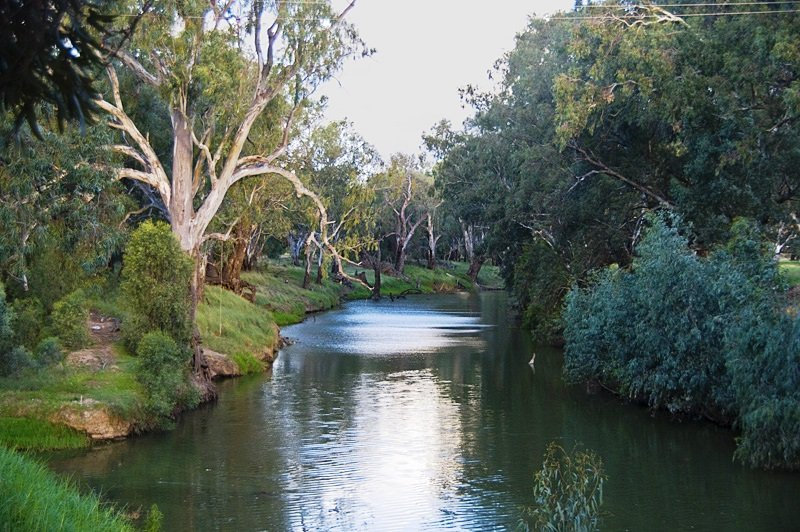
Photo: Lachlan Shire, your authentic bush experience -
The Warrego River is located in the Orana area of New South Wales, south of Queensland. It is the northernmost tributary of the Darling River. The river begins in the Carnarvon Range behind Mount Ka Ka Mundi and runs south, eventually joining the Darling River downstream of Bourke.
This river has 37 tributaries and goes through many reservoirs, including the Boera Dam, Turtle Waterhole, Six Mile Dam, Lower Lila Dam, Ten Mile Waterhole, and Dillalah Waterhole. Cunnamulla, Wyandra, Charleville, and Augathella are among the communities that line the river's banks.The majority of the Warrego basin is too dry for cultivation, with rainfall ranging from 350 to 500 mm (14 and 20 in). On more fertile clay soils, it is covered with grassland, while on less fertile red earths, it is covered with saltbush shrubland. The river's flow is far too variable to allow irrigated agriculture, therefore low-intensity grazing of sheep and cattle is the most common land use. The Warrego is primarily an ephemeral stream: years might go by without any flow in the basin, and significant volumes of water only reach the Darling River during rainy years, which are usually invariably related with La Nia occurrences.
The river forms a succession of outflowing streams and anabranches below Wyandra. The Widgeegoara, Kudnapper, and Noorama Creeks all enable water to flow into Nebine Creek, a tributary of the Culgoa River, during floods. Cuttaburra Creek runs via channels, floodways, and wetlands to join the Warrego River with the Paroo River. The Irrara Creek anabranch empties into Kerribree Creek, which travels through many wetlands before emptying into Utah Lake.
State: Queensland/New South Wales
Length: 1,380 km
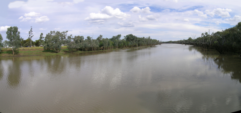
Photo: Wikipedia 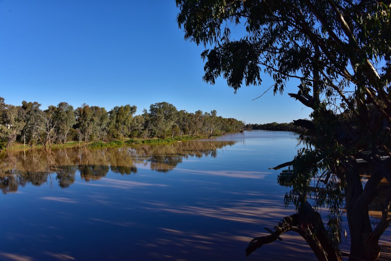
Photo: Flickr -
The Cooper Creek (originally Cooper's Creek) is one of Australia's most renowned rivers, having been the location of the explorers Burke and Wills' death in 1861.
Cooper Creek, commonly known as the Barcoo River, is one of Queensland's three most important rivers. The majority of its water comes from monsoonal rainfall, and it drains into Lake Eyre. Cooper Creek begins as two rivers west of the Great Dividing Range, then stretches out into large channels as it travels across Queensland's extreme south-west before turning into South Australia and flowing into Lake Eyre.
State: Queensland/South Australia
Length: 1,300 km
Photo: Innamincka Hotel 
Photo: www.abc.net.au -
The Paroo River is a network of marshes, lakes, and waterholes that only join the Darling River during wet years. The river's basin lies in the northwest region of the Murray-Darling Basin, with half of it in New South Wales and the other half in Queensland.
The river originates in the Warrego Range west of Charleville and runs into semi-arid plains in range county. It comes to an end south of Wanaaring in the top north-west corner of New South Wales. The Paroo River only flows all the way to Darling River when it rains, and only in exceptionally rainy years.
The river is lined by gidgee and eucalyptus trees, with poplar box, coolabah, and red gum being the most common.
State: Queensland/New South Wales
Length: 1,210 km
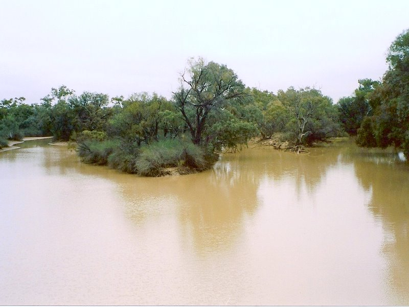
Photo: Wikipedia 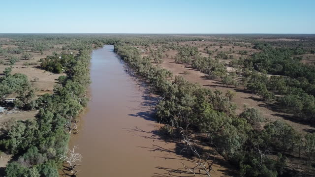
Photo: media.istockphoto.com -
With a watershed that is primarily undeveloped and poorly inhabited, the Flinders River is Queensland's longest river at 1004 kilometers. It rises 160 kilometers west of Charters Towers on the southern slopes of the Gregory Range.
Then it heads west, past Hughenden and into Richmond. The river bends as it approaches the Gulf of Carpentaria. The Flinders River made headlines in 2019 when floods in northeast Australia led it to expand from a small river to a 60-kilometer-wide river.
The Burra River starts in the Great Dividing Range 110 kilometers (68 miles) north-east of Hughenden and runs west to Hughenden, Richmond, and Julia Creek, then north-west to the Gulf of Carpentaria 25 kilometers (16 miles) west of Karumba. The Selwyn Range forms the southern boundary of the catchment.
It is Australia's eighth-longest river, measuring 1,004 kilometers (624 miles). The catchment area is tens of thousands of square kilometers (42,000 sq mi). Grazing and agricultural agriculture are the dominant land uses in the watershed, which encompasses 1.5 percent of the continent.The Cloncurry, Saxby, and Corella rivers are among the 36 tributaries that pour into the Flinders Ranges. Porcupine Creek, another significant tributary, has carved out a stunning valley in the Porcupine Gorge National Park. The Flinders River Dam and the Corella Dam are the two dams on the river. Range Creek, Morepork Creek, Oxley Creek, Canterbury Creek, Dutton River, Back Valley Creek, L-Tree Creek, Gorman Creek, Hazlewood Creek, Nonda Creek, Eurimpy Creek, Yambore Creek, Bynoe River, and Armstrong Creek are only a few of the lesser tributaries. The river passes through Flagstone Waterhole, which is a permanent waterhole.
McKinlay, Burke and Wills Junction, Hughenden, Richmond, Julia Creek, and Cloncurry are among the towns within the watershed.State: Queensland
Length: 1,004 km
Photo: www.abc.net.au 
Photo: Wikimedia Commons -
The Diamantina River springs northwest of Longreach in the Kirby's Range and only flows seasonally via Birdsville to the Goyder Lagoon in South Australia. It flows into a 158, 000-square-kilometer basin.
During a flood, the Georgina River and the Diamantina converge, transporting grain to Lake Eyre through Warburton Creek. The Diamantina's main tributaries are the Mayne and Western Rivers.The river rises north-west of Longreach in Queensland's Swords Range and runs south-west across central Queensland and the Channel Country before merging with the Georgina River to create the Warburton River. The Warburton River can reach Lake Eyre in exceptionally rainy years. The Diamantina River runs for around 900 kilometers (560 miles), and the basin covers about 157,000 square kilometers (61,000 square miles), with 140,000 square kilometers (54,000 square miles) utilized for agriculture.
The Diamantina's basin is mostly flat—even the highest mountains in the northeast don't rise over 500 meters (1,600 feet), and Lake Eyre is 16 meters (52 feet) below sea level. Almost all rivers in the basin flow southwestwards towards Birdsville, with the exception of a few streams around Winton (the region's largest town). The Diamantina River does not have a main channel; instead, it is made up of a collection of large, shallow waterways. Diamantina National Park, located midway between Winton and Birdsville, is a prominent feature in the river's slow path. Aside from the national park, practically all of the land in the basin is utilized for grazing cattle and sheep, however the numbers fluctuate a lot and graziers need a lot of expertise.
The river is ephemeral, with several semi-permanent waterholes, due to the area's alternating drought and flood cycles. The river's maximum recorded flow rate was 4,700 cubic meters per second (170,000 cubic feet per second) near Birdsville in 1974.Geoscience Australia has identified the Diamantina as a crustal anomaly that extends along the northern and eastern rims of a nearly circular zone spanning 130 km wide. Although proof of the reason is still lacking, it is thought that the anomaly was generated by an asteroid hit some 300 million years ago.
State: Queensland/South Australia
Length: 941 km
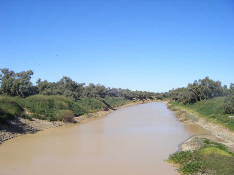
Photo: Wikipedia 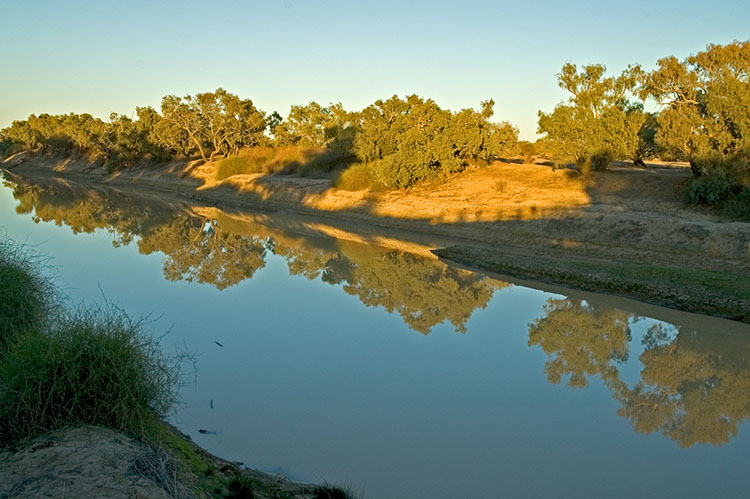
Photo: lookANDsee -
The Gascoyne River is a river in Western Australia's Gascoyne area. It is Western Australia's longest river, measuring 865 kilometers (537 miles).
In its upper reaches, the Gascoyne River has three forks. The Gascoyne River (North Branch) begins on Three Rivers Station near the Great Northern Highway, 100 kilometers (62 miles) northeast of Peak Hill, and runs for about 125 kilometers, draining the Collier Range (78 mi).
The Middle Branch of the Gascoyne River begins west of Beyondie Lakes, east of Kumarina, and east of the Great Northern Highway, and runs for about 15 kilometers (9.3 mi). The South Branch of the Gascoyne River begins near the Doolgunna farmstead and runs for about 15 kilometers (9.3 mi).
The Gascoyne is fed by 36 tributaries, including the Lyons River, Landor River, Thomas River, and several more streams and gullies, and runs west to southwest. The Gascoyne and Lyons rivers combined form a catchment area of 68,326 square kilometers (26,381 square miles) that is fully to the east of the Kennedy Ranges and stretches 480 kilometers (298 miles) inland. At Carnarvon, the river reaches its mouth, flowing into Shark Bay and the Indian Ocean. Over the course of its 865-kilometer (537-mile) journey, the river drops 514 meters (1,686 feet).
It's known as an upside-down river since it runs for roughly 120 days a year and then dries up for the rest of the year. The river's aquifers lie beneath the desert sands, effectively creating a massive water storage system.
It runs through thinly vegetated area that is mostly utilized for gold mining and sheep ranching. The river passes through a number of permanent ponds that are important to stock and natural species alike. Tibbingoona Pool, Mutherbokin Pool, and Mibbley Pool are some of the important pools along the river.State: Western Australia
Length: 865 km
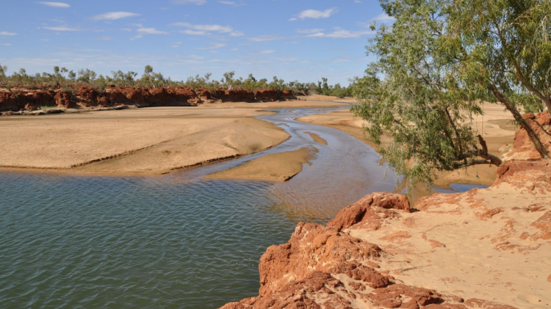
Photo: www.carnarvon.wa.hospitalityinns.com.au 
Photo: www.abc.net.au


