Gascoyne River

The Gascoyne River is a river in Western Australia's Gascoyne area. It is Western Australia's longest river, measuring 865 kilometers (537 miles).
In its upper reaches, the Gascoyne River has three forks. The Gascoyne River (North Branch) begins on Three Rivers Station near the Great Northern Highway, 100 kilometers (62 miles) northeast of Peak Hill, and runs for about 125 kilometers, draining the Collier Range (78 mi).
The Middle Branch of the Gascoyne River begins west of Beyondie Lakes, east of Kumarina, and east of the Great Northern Highway, and runs for about 15 kilometers (9.3 mi). The South Branch of the Gascoyne River begins near the Doolgunna farmstead and runs for about 15 kilometers (9.3 mi).
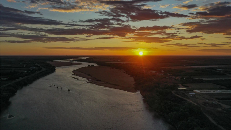
The Gascoyne is fed by 36 tributaries, including the Lyons River, Landor River, Thomas River, and several more streams and gullies, and runs west to southwest. The Gascoyne and Lyons rivers combined form a catchment area of 68,326 square kilometers (26,381 square miles) that is fully to the east of the Kennedy Ranges and stretches 480 kilometers (298 miles) inland. At Carnarvon, the river reaches its mouth, flowing into Shark Bay and the Indian Ocean. Over the course of its 865-kilometer (537-mile) journey, the river drops 514 meters (1,686 feet).
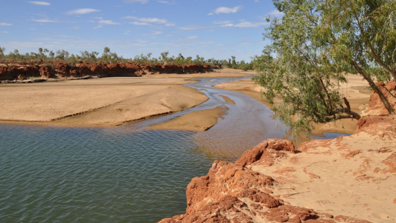
It's known as an upside-down river since it runs for roughly 120 days a year and then dries up for the rest of the year. The river's aquifers lie beneath the desert sands, effectively creating a massive water storage system.
It runs through thinly vegetated area that is mostly utilized for gold mining and sheep ranching. The river passes through a number of permanent ponds that are important to stock and natural species alike. Tibbingoona Pool, Mutherbokin Pool, and Mibbley Pool are some of the important pools along the river.
State: Western Australia
Length: 865 km


