Gabal El Uweinat

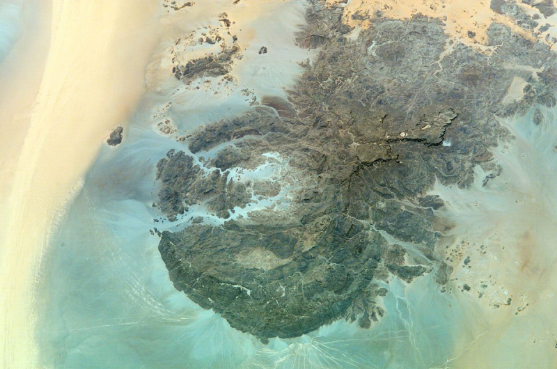
The second one in Top 3 Highest Mountains in Libya that Toplist would like to introduce to you is Gabal El Uweinat. Mount Uwaynat, also known as Gabal El Uweinat, is a mountain range in Egypt, Libya, and Sudan. It is considered a crucial testament to the emergence of early pastoralism in the Sahara because of hundreds of prehistoric rock art sites.
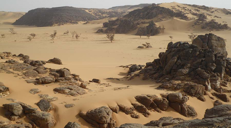
Mount Uwaynat is located around 40 kilometers southeast of Jabal Arkanu. On the Libyan side of the mountain, the primary spring, Ain Dua, is located near the foot of the mountain. The western foot is 618 meters high and covered with enormous rocks that have fallen due to erosion (according to Hassanein, it is positioned at 21°52′29′′N 24°54′16′′E). The western slope, with its wells, plants, and grass, is a veritable oasis.
The western section of the massif is made up of intrusive granite that forms a 25-kilometer-wide ring that ends in three valleys (wadis) named Karkur Hamid, Karkur Idriss, and Karkur Ibrahim. Sandstone dominates the eastern portion, which ends in Karkur Talh. There is a permanent oasis (Guelta) in Karkur Murr called Ain El Brins (Bir Murr).
Four plateaus emerge from the surrounding desert's level in the sandstone section: the Hassanein plateau, which is joined to an unidentified plateau by a narrow neck, the Italia plateau, and another unnamed plateau. The Italia plateau is home to Uweinat's highest point. On the summit, there are two cairns, one built by R.A. Bagnold and the other by Captain Marchesi in the 1930s.
Location: in the area of the Egyptian-Libyan-Sudanese tripoint.
Elevation: 1,934 m (6,345 ft)


