Gamtoos River
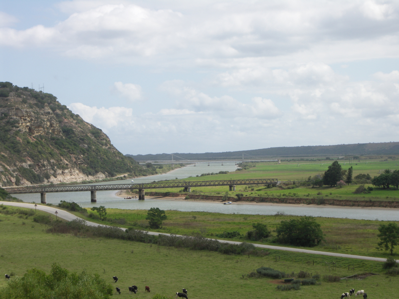
The Gamtoos River, sometimes known as the Gamptoos River, is a river in South Africa's Eastern Cape Province. It is formed by the confluence of the Kouga River and the Groot River, and it is approximately 645 kilometers long (401 miles) with a catchment area of 34,635 square kilometers (13,373 sq mi).
The Groot, Kouga, and Baviaanskloof rivers make up the Gamtoos river system. The Kouga's tributary is the latter.
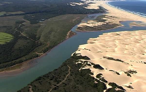
Despite the low rainfall in the catchment area, commercial irrigated agriculture in the lower catchment supports the production of oranges, tobacco, citrus fruit, and vegetables. The Gamtoos River enters the Indian Ocean through an estuary. It's halfway between Jeffreys Bay and Port Elizabeth, and it's close to the Gamtoos River Mouth Nature Reserve. The lower catchment includes the settlements of Hankey, the oldest town in the Gamtoos river valley, and Patensie. The settlements of Steytlerville, Joubertina, Uniondale, Willowmore, and Murraysburg are located further inland.
The Loerie River, Klein River, and Hol River are tributaries of the Gamtoos, as are the Groot and Kouga rivers.
Length: 645 km (401 mi)


