Limpopo River
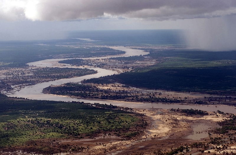
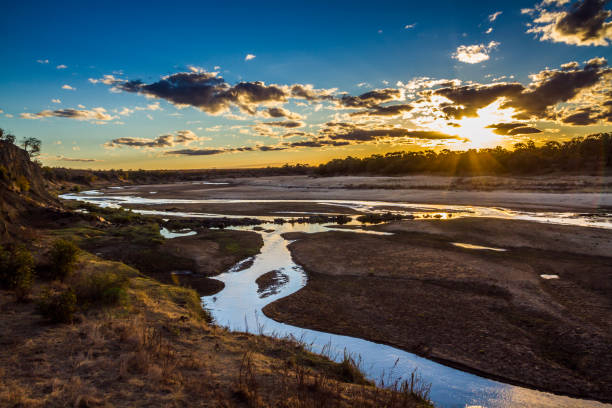
The Limpopo River rises in South Africa and runs eastward to the Indian Ocean through Mozambique. The name Limpopo comes from Rivombo (Livombo/Lebombo), a group of Tsonga settlers led by Hosi Rivombo who arrived in the mountainous terrain and named it after him. The river runs for around 1,750 kilometers (1,087 miles) and has a drainage basin of 415,000 square kilometers (160,200 square miles). At its mouth, the average discharge over a year is 170 m3 (6,000 cu ft; 170,000 l; 44,900 US gal). After the Zambezi River, the Limpopo is Africa's second largest river that flows into the Indian Ocean.
Vasco da Gama was the first European to see the river, anchoring outside its mouth in 1498 and naming it Espirito Santo River. St Vincent Whitshed Erskine examined the lower river in 1868–69, while Captain J F Elton traveled along the middle route in 1870.
Over geological time, the Limpopo River's drainage area has shrunk. The upper stream of the Zambezi River poured into the Limpopo River until the Late Pliocene or Pleistocene. The epeirogenic movement that rose the surface north of the present-day Limpopo River, diverting fluids into the Zambezi River, caused the drainage divide to shift.
Length: 1,750 km (1,090 mi- shared with Mozambique, Zimbabwe, and Botswana)


