Gangkhar Puensum

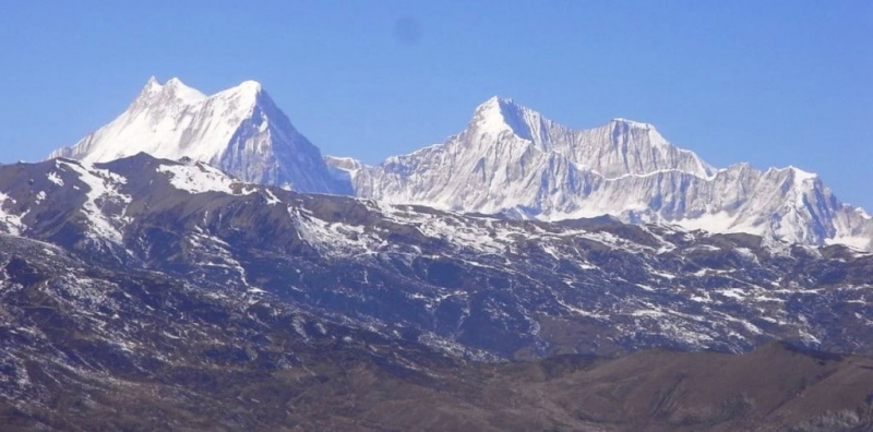
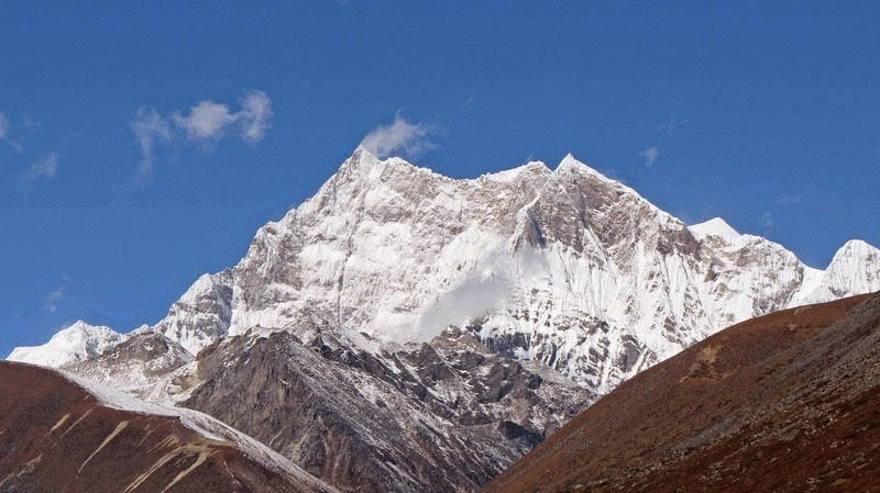
Gangkhar Puensum is Bhutan's highest peak, and at 7,570 meters, it is the world's 40th highest summit. As unexpected as it may seem, Gangkhar Puensum has remained unclimbed for decades, despite the fact that most Himalayan peaks have already been scaled. Although the exact border line between Bhutan and Tibet is contested, Gangkhar Puensum is located on the Bhutan-Tibet border. Other sources have the summit entirely in Bhutan, although Chinese maps place it firmly on the boundary. The region's maps were embarrassingly wrong when the mountain was originally mapped and surveyed in 1922. Until recently, maps of the region depicted the mountain in various positions and at various heights. One of the earliest teams to try the peak was unable to locate the mountain.
Bhutan first allowed mountaineering in 1983 because they thought that lofty mountains were where ghosts lived. A number of excursions were organized when Bhutan finally opened its doors to mountaineering. Four attempts were undertaken between 1985 and 1986, but they all failed. The decision to allow mountaineering as a commercial activity was short-lived. Out of respect for indigenous spiritual beliefs, the government banned climbing mountains which are higher than 6,000 meters in 1994, and mountaineering has been prohibited in the country since 2004. Bhutan has not yet surveyed the summit, and it appears that the country has no plans to do so in the near future. Due to the difficulty in obtaining government permissions and the paucity of rescue backup, it appears that the peak will remain unclimbed for the foreseeable future.
The Chinese Mountaineering Association granted a Japanese group permission to climb Gangkhar Puensum north of Bhutan from the Tibetan side in 1998. However, the licence was eventually cancelled due to a long-standing boundary dispute with Bhutan. Instead, the expedition chose Gangkhar Puensum North, also known as Liankang Kangri, a hitherto unclimbed 7,535 m subsidiary summit of Gangkhar Puensum. The team's notes indicated that if authorized, the excursion to the main peak would have been successful. Surprisingly, unlike previous maps, the expedition's report places Gangkhar Puensum in Tibet rather than Bhutan, with the Tibet–Bhutan border passing through the peak.
Elevation: 7,570 m
Location: Bhutan–China border
Mountain range: Himalayas


