Gipmochi

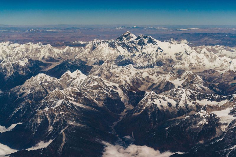
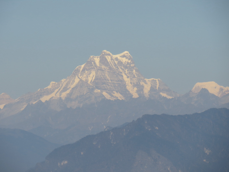
Gipmochi (Gyemo Chen or Gamochen, 'The Great Queen') is a mountain in south central Asia's Lower Himalayas. The peak, which rises to a height of 14,523 feet (4,427 meters), is located on the boundary between the Indian state of Sikkim and Bhutan. China claims Gipmochi as the tri-junction point between China, India, and Bhutan. Bhutan and India, on the other hand, maintain the tri-junction is 6.5 kilometers north of Batang La.
Mount Gipmochi is a Himalayan mountain that rises to 14,523 feet (4,427 meters) on the southwestern shoulder of the Doklam plateau, which lies at the crossroads of India (Sikkim), Bhutan, and Tibet (Chumbi Valley). Gipmochi is a curved semicircular formation that is part of the Zompelri ridge (or Jhampelri ridge). The Dongkya Range of mountains, to the north of this ridge, is traditionally regarded to constitute the dividing line between Sikkim and the Chumbi Valley. In current times, the Dongkya Range extends eastward into Sikkim, passing past the Merug La and Sinche La peaks before gently dropping to the plains. The headwaters of the Dichu river are located to the west of Mount Gipmochi and the Doklam plateau (also called Jaldhaka river). The Amo Chu river, which springs in the Chumbi Valley and flows into Bhutan, is located to the northeast of Gipmochi.
A plateau called Dolam or Doklam plateau is formed by the area surrounded by Gipmochi and Batang La, extending about 5 km to the southeast. Prior to official surveys, certain British travel maps from the 19th century label this plateau as "Gipmochi Pk" and illustrate its alignment with the Sinchela pass (on the northern ridge of the plateau). Bhutan had no map of its territory until 1961.
Location: the boundary between the Indian state of Sikkim and Bhutan
Elevation: 4,427 m
Range: Himalayas


