Jengish Chokusu
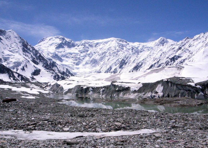
Jengish Chokusu, at 7,439 meters, is the highest peak in the Tian Shan mountain range (24,406 ft). It is located between the Ak-Suu District in the Issyk-Kul Region of far Eastern Kyrgyzstan and Wensu County in Xinjiang, China, on the Kyrgyzstan–China border. It is located southeast of Lake Issyk Kul and is part of the Kakshaal Too, the highest portion of the Tian Shan.
The mountain's Kyrgyz name is Jengish Chokusu, which translates to "Victory Peak," and its Russian name is Pik Pobedy (or Peak Pobeda), which translates to "Victory Peak." It is known as Tömür in Uyghur, which is also the Chinese name for the mountain. Tuōmù'ěr Fēng is a mixture of the Uighur tomur, which means 'iron,' and the Chinese feng, which means 'peak.'
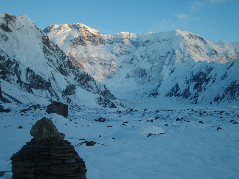
Jengish Chokusu is a massif with a long ridge and multiple summits. Only the main summit rises above 7,000 meters. It's 16 kilometers (9.9 miles) southwest of Khan Tengri (7,010 meters / 22,998 feet), separated by the South Engilchek glacier, which serves as a base camp for both climbs.
The massif runs perpendicular to the glaciers that flow from it into three alpine valleys in Kyrgyzstan's north, all of which eventually lead to the Engilchek Glacier, the Tian Shan largest. The Zvozdochka (Russian for "small star") glacier, which is tinted red with rocks from Jengish Chokusu, is commonly used to reach the main summit.
The Chinese side of the mountain is in Wensu County of the Aksu Prefecture of the Xinjiang Uyghur Autonomous Region, while the Kyrgyzstan side is in the Ak-Suu District of the Issyk-Kul Region.
Location: Ak-Suu, Issyk-Kul, Kyrgyzstan
Elevation: 7,439 m (24,406 ft)


