Kaserutoki

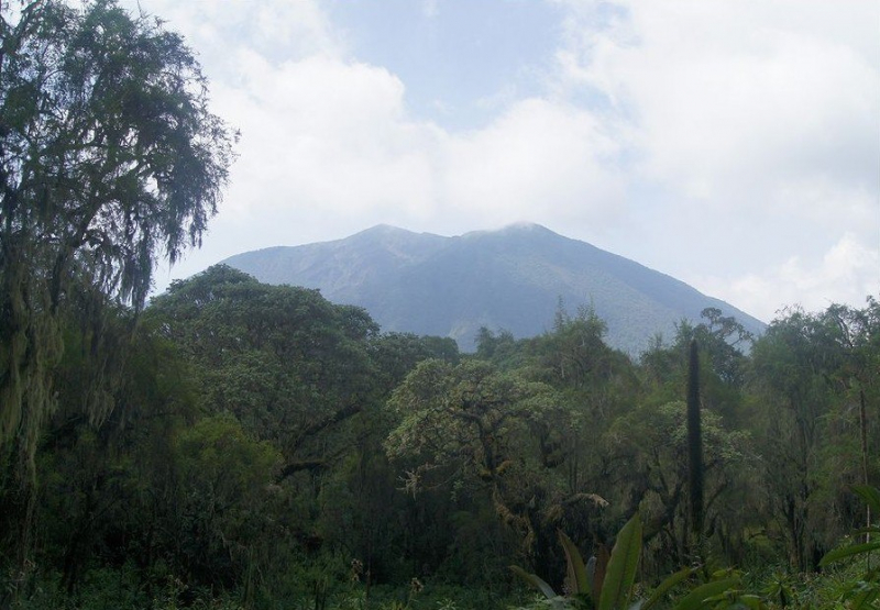
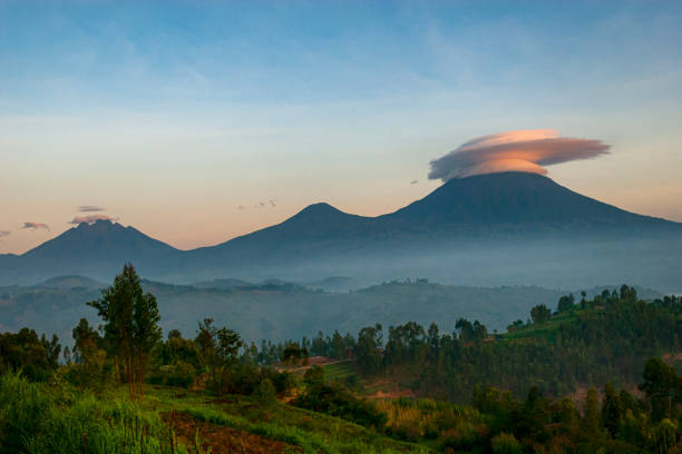
Kaserutoki is a crater in Rwanda at a height of 3,014 meters. Kaserutoki is located to the northeast of Mount Bisoke and to the north of the Karisoke Research Center. The land around Kaserutoki is hilly in the northeast, but hilly in the southwest. The highest point in the vicinity has an elevation of 3,641 meters and is 1.8 km southwest of Kaserutoki. There are about 442 people per square kilometer around Kaserutoki, which is extremely densely populated. The nearest larger town is Musanze, 16.7 km east of Kaserutoki. The area around Kaserutoki was almost covered with barrenness and desolateness. In the area around Kaserutoki, volcanoes and forests are common.
Kaserutoki (crater) lies near Nyarusizi, Poste Bisoke, and Bisate III in Rwanda. It's also close to Gisasa and Bannyisogo. Kaserutoki's latitude is -1.4419 and longitude is 29.4963, with GPS coordinates of 01° 26′ 30.83′′ S and 29° 29′ 46.68′′ E.
Height: 3 014m (9 888 ft)
Location: Africa, Rwanda


