


Top 5 Highest Mountains in Rwanda

Rwanda is a hilly region in central Africa that is split by the Rift Valley. From north to south, a large mountain range runs through the area. Subsistence ... read more...farming, hiking, gorilla trekking, and mountain climbing are all popular tourist activities.
-
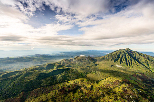
Mount Karisimbi is a stratovolcano in Rwanda's Virunga Mountains, near the border with the Democratic Republic of the Congo. It is presently inactive. Karisimbi is the tallest of the eight major mountains in the mountain range, which is part of the Albertine Rift, the western arm of the East African Rift, at 4,507 meters (14,787 feet). On the other side of the Rift Valley, Mikeno to the north, Bisoke to the east, and Nyiragongo to the west surround Karisimbi. Karisimbi is Africa's 11th tallest peak.
The name Karisimbi is derived from the Kinyarwanda word 'amasimbi,' which means snow. During the dry season of June, July, and August, the peak of the volcano is largely covered with snow. Dian Fossey established the Karisoke Research Center between Karisimbi and Bisoke to study the mountain gorillas that live in this area.
Height: 4,507 m (14,787 ft)
Location: Democratic Republic of the Congo - Rwanda border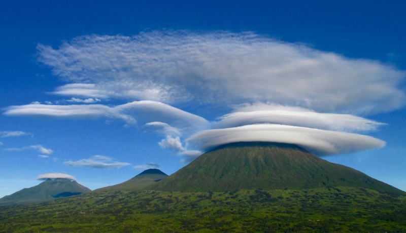
standardgorillasafaris.com 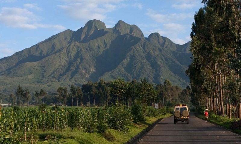
addflag.com -
Mount Muhabura, also known as Mount Muhavura, is a dormant volcano in Rwanda's and Uganda's Virunga Mountains. Muhabura, at 4,127 meters (13,540 feet), is the third-highest of the mountain range's eight major mountains, which are part of the Albertine Rift, the western branch of the East African Rift. Its peak is home to a tiny crater lake.
The meager evidence for this volcano implies that it last erupted during the Holocene epoch, but the precise date is unknown. Muhabura is part of Rwanda's Volcanoes National Park and part of Uganda's Mgahinga Gorilla National Park.
Muhabura means "The Guide" in Kinyarwanda, the indigenous language. Because of its slope, it can be seen from various regions of Uganda and Rwanda.Height: 4,127 m (13,540 ft)
Location: Rwanda–Uganda
bwindiugandagorillatrekking.com 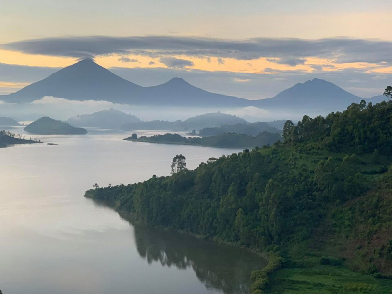
katonatours.com -
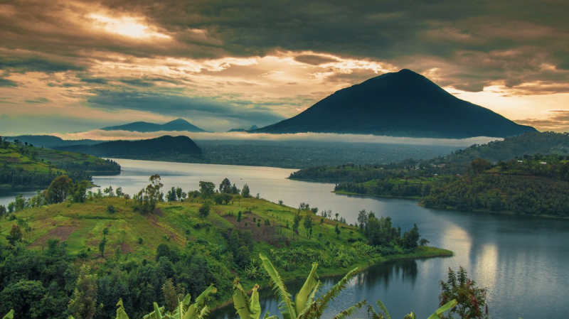
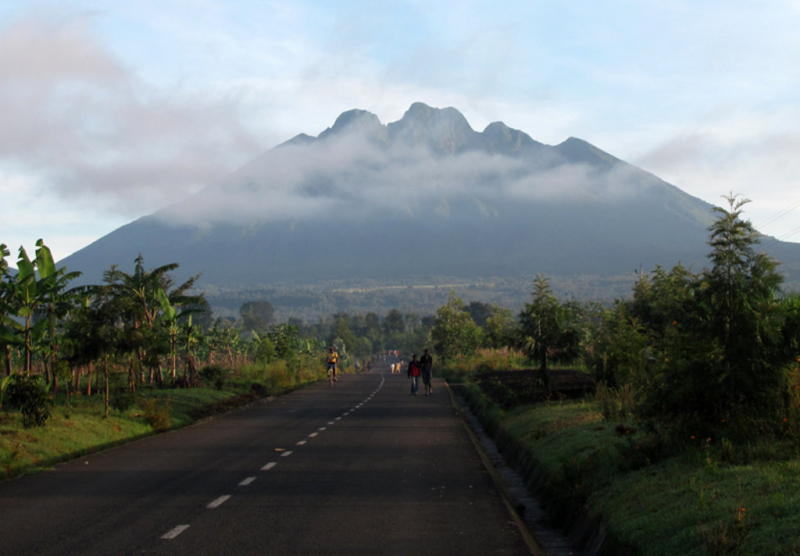
Kaserutoki is a crater in Rwanda at a height of 3,014 meters. Kaserutoki is located to the northeast of Mount Bisoke and to the north of the Karisoke Research Center. The land around Kaserutoki is hilly in the northeast, but hilly in the southwest. The highest point in the vicinity has an elevation of 3,641 meters and is 1.8 km southwest of Kaserutoki. There are about 442 people per square kilometer around Kaserutoki, which is extremely densely populated. The nearest larger town is Musanze, 16.7 km east of Kaserutoki. The area around Kaserutoki was almost covered with barrenness and desolateness. In the area around Kaserutoki, volcanoes and forests are common.
Kaserutoki (crater) lies near Nyarusizi, Poste Bisoke, and Bisate III in Rwanda. It's also close to Gisasa and Bannyisogo. Kaserutoki's latitude is -1.4419 and longitude is 29.4963, with GPS coordinates of 01° 26′ 30.83′′ S and 29° 29′ 46.68′′ E.Height: 3 014m (9 888 ft)
Location: Africa, Rwanda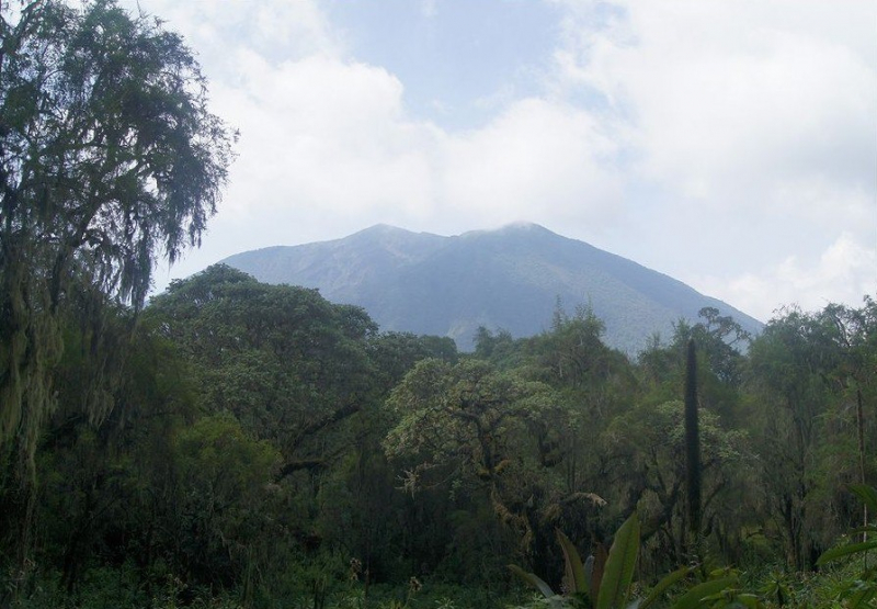
mapcarta.com 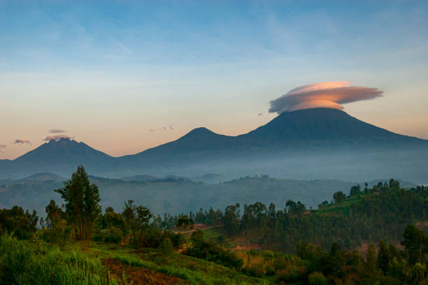
istockphoto.com -
Mont Muwogo is a mountain (class T - Hypsographic) in Rwanda's Western Province (Gisenyi) with the Africa/Middle East region font code. It is situated at a height of 2,990 meters above sea level. The ground near Mont Muwogo is largely flat, but it is steep to the west. Volcan Karisimbi, located 19.4 kilometers north of Mont Muwogo, is the highest peak in the area, rising 4,510 meters above sea level. The area near Mont Muwogo is exceptionally densely inhabited, with 369 persons per square kilometer. Gisenyi, 20.0 kilometers west of Mont Muwogo, is the next major town. The surrounding region of Mont Muwogo is nearly entirely covered with farming. Volcanoes and forests are widespread in the area surrounding Mont Muwogo.
Its coordinates in DMS (Degrees Minutes Seconds) are 1°40'55" S and 29°26'6" E, or -1.68194 and 29.435 (in decimal degrees). It has the UTM location QU71 and the Joint Operation Graphics reference SA35-08. A mountain is a high elevation that rises above its surroundings, with a tiny peak area, steep slopes, and local relief of 300m or more.
Height: 2 987m (9 800ft)
Location: Rwanda, East Africa, Africa
peakvisor.com 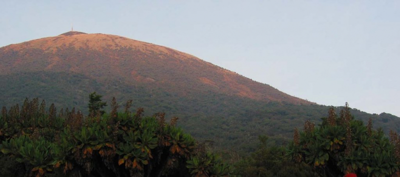
peakvisor.com -
Muhungwe Mountain, at 2,918 meters in elevation, is the country's highest non-volcanic mountain. The mountain provides enormous prospects for the development of sporting/adventure tourism, particularly hiking paths, as well as opportunities for surrounding communities in terms of employment creation and income generation through tourism services. The product is not yet established, and the existing paths utilized by local people are in poor shape. The district is presently seeking private investors to take over the product's development and management.
Muhungwe is a mountain and is located in Western Province, Rwanda. The elevation above sea level is 2928 meters. Variant forms of spelling for Muhungwe or in other languages: Muhungwe, Mont Muhungwe.
Height: 2 910m (9 547ft)
Location: Rwanda, East Africa, Africa
discoverafrica.com 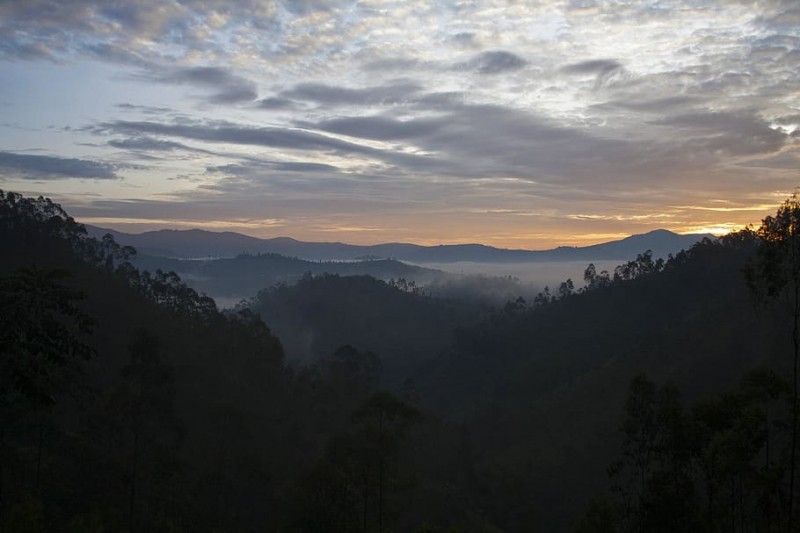
wallpaperflare.com


