Mont Muwogo

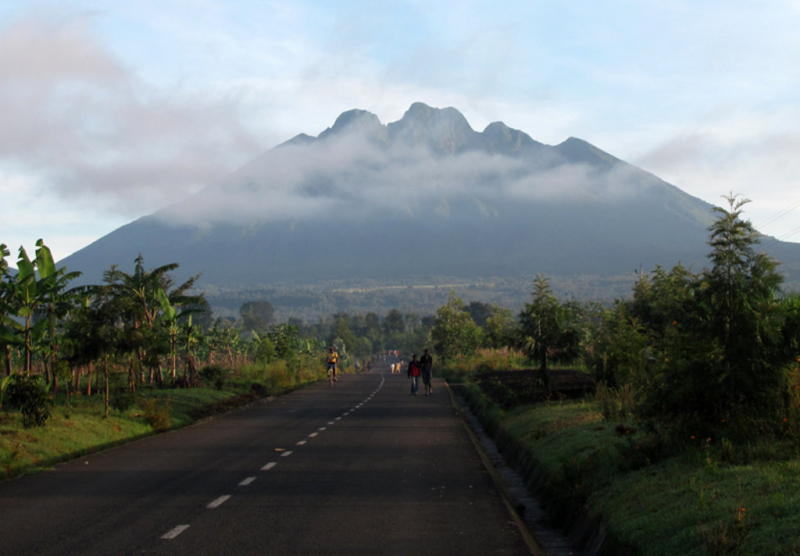
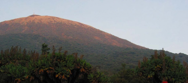
Mont Muwogo is a mountain (class T - Hypsographic) in Rwanda's Western Province (Gisenyi) with the Africa/Middle East region font code. It is situated at a height of 2,990 meters above sea level. The ground near Mont Muwogo is largely flat, but it is steep to the west. Volcan Karisimbi, located 19.4 kilometers north of Mont Muwogo, is the highest peak in the area, rising 4,510 meters above sea level. The area near Mont Muwogo is exceptionally densely inhabited, with 369 persons per square kilometer. Gisenyi, 20.0 kilometers west of Mont Muwogo, is the next major town. The surrounding region of Mont Muwogo is nearly entirely covered with farming. Volcanoes and forests are widespread in the area surrounding Mont Muwogo.
Its coordinates in DMS (Degrees Minutes Seconds) are 1°40'55" S and 29°26'6" E, or -1.68194 and 29.435 (in decimal degrees). It has the UTM location QU71 and the Joint Operation Graphics reference SA35-08. A mountain is a high elevation that rises above its surroundings, with a tiny peak area, steep slopes, and local relief of 300m or more.
Height: 2 987m (9 800ft)
Location: Rwanda, East Africa, Africa


