Kizilirmak (Halys)

Top 4 in Top 10 Longest Rivers in Turkey

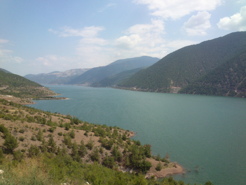
The Kizilirmak is Turkey's fourth longest river, running wholly within its borders. The "Red River," Kizilirmak in Turkish, begins in Eastern Anatolia and flows for 842 kilometers west and southwest, then northeast past Lake Tuz, then north and back to the northeast to meet the Delice River. From there, it flows northwest to meet the Devrez River before returning to the northeast to join the Gökrmak. It runs into the Black Sea as a lovely delta from here.
The Boyabat, Derbent, and Altnkaya dams were built along Kizilirmak's banks. Before 585 BC, the river defined the western limit of Hatti, the capital of the Hittite Empire. It also served as a border between Asia and Asia Minor, as well as between Paphlogania and Pontos. During the Battle of Halys on May 28, 585 BC, it divided Lydia from Media. In some parts, the river is now used to grow rice or to support water buffalo husbandry. The river is not navigable, but it serves as a source of hydroelectric power.
Length: 842 miles