La Perouse
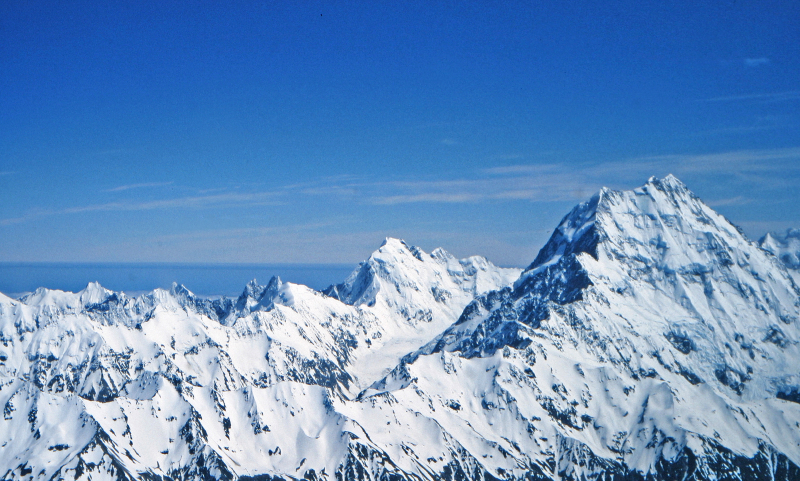
La Perouse, formerly known as Mount Stokes, is a mountain in New Zealand's Southern Alps that rises to a height of 3,078 meters (10,098 ft).
La Perouse is located in the South Island's Southern Alps, four kilometers southwest of Aoraki / Mount Cook. La Perouse, unlike Aoraki/Mount Cook, is located on the South Island's Main Divide, on the border between Aoraki/Mount Cook National Park and Westland Tai Poutini National Park. The La Perouse Glacier on the northern side feeds the Cook River, which flows into the Tasman Sea.
Mount Stokes was named after John Lort Stokes, who was assistant surveyor on HMS Beagle's second voyage (1831–1836) and captain of the survey ship HMS Acheron (1848–1851). Because Mount Stokes had previously been named in Nelson, the mountain was renamed La Perouse in honor of the French explorer Jean-François de Galaup, comte de Lapérouse (also spelled comte de La Pérouse), whose expedition perished on Vanikoro in the Solomon Islands' Santa Cruz Islands in 1788.
Location: South Island, New Zealand
Height: 3,078 m (10,098 ft)


