Mount Aspiring / Tititea
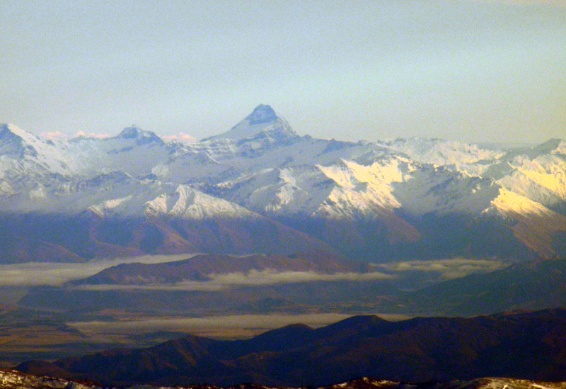
Mount Aspiring / Tititea is the 23rd highest mountain in New Zealand. Outside of the Aoraki/Mount Cook region, it is the highest point in the country.
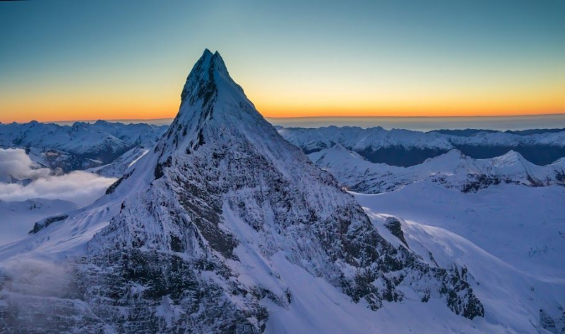
It is located in Otago's Mount Aspiring National Park and has a height of 3,033 meters (9,951 ft). Māori named it Tititea, which means "Glistening Peak" in Greek. The Chief Surveyor for the Otago Province, John Turnbull Thomson, named it Aspiring in December 1857. It is also known as the "Matterhorn of the South" because of its pyramidal peak as seen from the Matukituki River. Major Bernard Head and guides Jack Clarke and Alec Graham made the first ascent on November 23, 1909. Head's party used the west face from the Bonar Glacier to reach the summit ridge, a route that was not used again until 1965.
Mount Aspiring / Tititea is located 30 kilometers west of Lake Wānaka, slightly west of the main divide. It is located at the confluence of three major glacial systems: the Bonar Glacier, which flows into the Waipara River, and the Volta and Therma Glaciers, which both flow into the Waiatoto River. The Waipara River is a tributary of the Arawhata River, and both rivers flow out to the west coast between Haast and Jackson Bay.
Location: South Island, New Zealand
Height: 3,033 m (9,951 ft)


