Lake Peten Itza
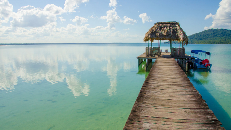
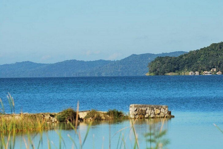
Lake Petén Itzá is Guatemala's second largest lake, covering an area of 38 square miles (99 km2) (the largest is Izabal). It is approximately 22 miles (35 km) east to west and 10 miles (16 km) north to south. Around the lake, there are 27 Mayan sites, including the ruins of Tayazal, which are located near Flores. Tropical rainforests or farms growing sugarcane, cacao, grains, and tropical fruit cover much of the surrounding land.
Flores is the place along Lake Petén Itzá that is most well-known. Flores, which is located on a small island at the southern end of the lake, is a laid-back community. There are excellent hotels and restaurants in the town, which also has charming cobblestone lanes and vintage pastel buildings. In general, it's a wonderful spot to relax and take it slowly. A causeway links Flores to the sizable town of Santa Elena.
El Remate has been steadily growing in recent years and is now competing with Flores as the lake's most popular destination. El Remate, located on the road to Tikal, is a convenient place to spend a few nights or use as a home base while exploring Tikal. It has several good swimming areas and is close to the Biotopo Cerro Cahu, which has excellent birding and hiking opportunities. El Remate's accommodations are among the best in all of Petén.
Along the lake's western shore are the small settlements of San Andrés and San José. These communities have a very laid-back vibe and welcoming locals. They are well known for their non-profit organizations (NGOs) and Spanish schools, which offer a special environment for studying the language and enable visitors to the area to give back while they are there.
The Itzá people's cultural revival has been witnessed in San José. Legend has it that the Itzá came here from Yucatán between the 13th and 15th centuries, led by the mythical figure Taitzá along the Camino Real. While walking around town, you're bound to come across a few signs written in this Mayan dialect. The town also hosts two annual festivals, one in March and one in early November, both of which are colorful and one-of-a-kind. Check them out if you're in the area at the right time of year.
Area: 99 km²
Length: 32 km
Surface elevation: 110 m
Inflow source: Río Ixlú
Islands: Flores Island (Guatemala), Islote Santa Barbara, Islote El Hospital, Isla de Lepet, Islote Pedregal
Location: the northern Petén Department in Guatemala


