Top 3 Most Beautiful Lakes in Guatemala

Guatemala's Lake Atitlán may get all of the attention, but it's about time it shared it with the country's other two lakes, Lake Izabal and Lake Petén Itzá, ... read more...because each is absolutely stunning. So, apart from summer camp, why would you choose to spend your vacation at one of Guatemala's lakes? What can you do once you've seen the beauty and bounty of these magnificent bodies of water? Plenty! In fact, there is an activity for every type of traveller. whether you want to relax and unwind or are an adrenaline junkie, there has you covered. Guatemala's lake destinations are excellent for outdoor enthusiasts, water lovers, or travelers simply looking for a good place to relax. They're also excellent for practicing photography or plein-air watercolour. Without further ado, let's discover the most beautiful lakes in Guatemala.
-
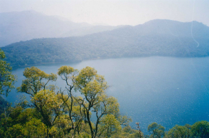
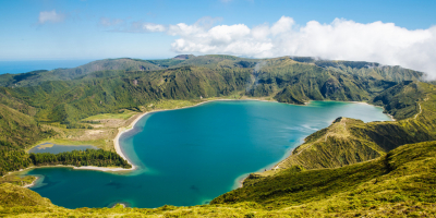
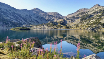
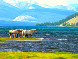
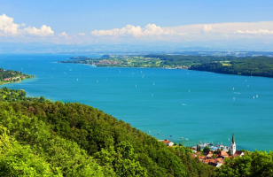
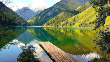
Want to see one of the world's most stunning lakes? Guatemala is home to Lake Atitlan, which renowned German explorer and naturalist Alexander von Humboldt dubbed the most beautiful lake in the world. The lake is around 1,115 feet deep, making it the deepest in Central America. It is renowned for its water, which ranges in color from deep blue to green.
Lake Atitlán is surrounded by three volcanoes known as the Three Giants: Atitlán, Tolimán, and San Pedro. Given the proximity, it's not surprising that the lake formed as a result of a volcanic eruption. According to Atlas Obscura, the Los Chocoyos eruption, a significant volcanic explosion, occurred about 84,000 years ago. Magma in the volcano's magma chamber is ejected during a volcanic eruption, sometimes violently. The sides and top of the volcano may collapse inward as the magma chamber empties, forming a caldera, or crater. Lake Atitlán was formed when water gradually filled this crater.
Lake Atitlán is approximately three hours from Guatemala City. The lake is surrounded by a number of villages, including Santiago Atitlán, San Lucas Tolimán, Panajachel, and San Pedro La Laguna, in addition to the volcanoes on its shores.
The villages provide tourists with a variety of environments, ranging from the peaceful Santa Cruz la Laguna and San Pedro - popular tourist destinations - to the festive atmosphere of Panajachel, Sololá's most popular destination. By land, you can reach San Pedro, Santa Clara la Laguna, and the other villages. However, because of the abundance of lodging options in Panajachel, it is usually more convenient to arrive and then take a boat to the surrounding towns.
There are a number of other activities that should not be missed in addition to seeing the lake and visiting local villages. Take an evening cruise from Panajachel to see the stunning sunsets over the lake. You can even hike up the volcanoes if you're feeling brave. San Pedro Volcano, for example, can be climbed in under five hours.
Indian's Nose is a must-hike if you love sunrises. The mountain is known as Indian's Nose because its profile resembles a man's face, and the Mayan culture revered the mountain's pinnacle, which they called the "nose." The excursion will require an early start (about 3:45 a.m.), but it will be well worth it. You may trek up the mountain after taking a quick bus to Santa Clara, where you'll be rewarded with breathtaking views of the sun rising over the foggy lake.
Surface elevation: 1,562 m
Area: 130.1 km²
Length: 12 km
Mean depth: 220 m
Max. depth: 340 m (1,120 ft) (est.)
Fish: Largemouth bass
Location: Sololá Department of southwestern Guatemala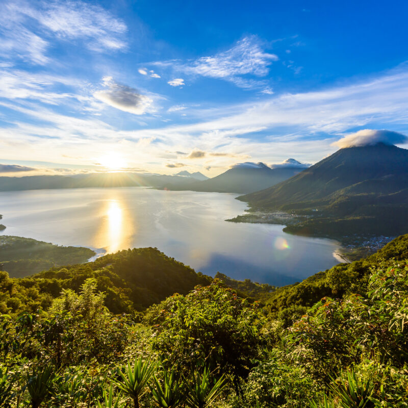
Sunrise at Lake Atitlán, Guatemala. - SIMON DANNHAUER / SHUTTERSTOCK.COM 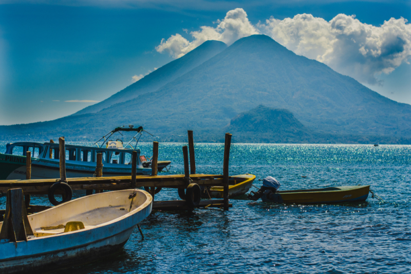
ARTURO RIVERA / SHUTTERSTOCK.COM -
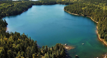
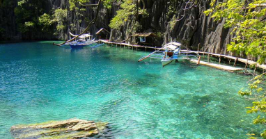
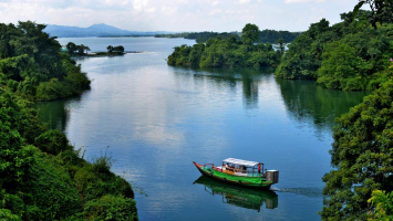
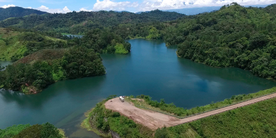
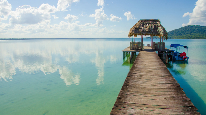
Lake Petén Itzá is Guatemala's second largest lake, covering an area of 38 square miles (99 km2) (the largest is Izabal). It is approximately 22 miles (35 km) east to west and 10 miles (16 km) north to south. Around the lake, there are 27 Mayan sites, including the ruins of Tayazal, which are located near Flores. Tropical rainforests or farms growing sugarcane, cacao, grains, and tropical fruit cover much of the surrounding land.
Flores is the place along Lake Petén Itzá that is most well-known. Flores, which is located on a small island at the southern end of the lake, is a laid-back community. There are excellent hotels and restaurants in the town, which also has charming cobblestone lanes and vintage pastel buildings. In general, it's a wonderful spot to relax and take it slowly. A causeway links Flores to the sizable town of Santa Elena.
El Remate has been steadily growing in recent years and is now competing with Flores as the lake's most popular destination. El Remate, located on the road to Tikal, is a convenient place to spend a few nights or use as a home base while exploring Tikal. It has several good swimming areas and is close to the Biotopo Cerro Cahu, which has excellent birding and hiking opportunities. El Remate's accommodations are among the best in all of Petén.
Along the lake's western shore are the small settlements of San Andrés and San José. These communities have a very laid-back vibe and welcoming locals. They are well known for their non-profit organizations (NGOs) and Spanish schools, which offer a special environment for studying the language and enable visitors to the area to give back while they are there.
The Itzá people's cultural revival has been witnessed in San José. Legend has it that the Itzá came here from Yucatán between the 13th and 15th centuries, led by the mythical figure Taitzá along the Camino Real. While walking around town, you're bound to come across a few signs written in this Mayan dialect. The town also hosts two annual festivals, one in March and one in early November, both of which are colorful and one-of-a-kind. Check them out if you're in the area at the right time of year.
Area: 99 km²
Length: 32 km
Surface elevation: 110 m
Inflow source: Río Ixlú
Islands: Flores Island (Guatemala), Islote Santa Barbara, Islote El Hospital, Isla de Lepet, Islote Pedregal
Location: the northern Petén Department in Guatemala
Lake Petén Itzá Tour in Flores - Travelisimo 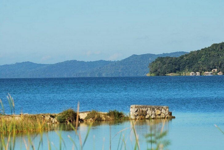
Tourcounsel -
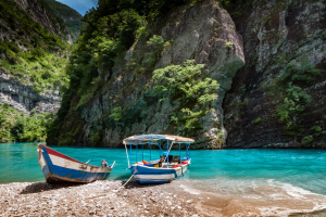
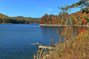
One of the most beautiful also the largest lake in Guatemala is Lake Izabal. It's currently completely undeveloped, but as knowledge of its unspoiled beauty and serene atmosphere spreads, that could alter in the years to come. Lake Izabal is located in northeastern Guatemala, about 18 miles (30 kilometers) from the Caribbean Sea. The lake's easternmost boundary is occupied by the town of Ro Dulce (named after the river that flows east from here). The town of Ro Dulce is actually comprised of two towns, Fronteras and El Relleno, though this distinction is rapidly fading. Nowadays, the town serves primarily as a transportation hub and entry point for trips up the river and to the Caribbean town of Livingston.
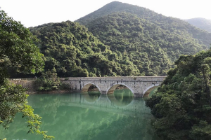
El Castillo de San Felipe, a castle constructed by the Spanish in 1652, lies not far from Fronteras. To stop British pirates from sailing up the Rio Dulce to attack supplies, the fortification was constructed. It then served as a prison before being abandoned; the current building was rebuilt in 1956. It is well worth visiting because it features compact rooms, antiquated canons, and stunning views of Lake Izabal.
The Bocas del Polochic Wildlife Preserve occupies the other end of the lake, near the westernmost boundary. Wetlands, savannas, and flooded forests are all part of this park. The park is home to a wide variety of bird species, as well as some small populations of manatees and crocodiles. Howler monkeys, tapirs, and jaguars are among the larger mammals. The park is managed by a private conservation group, which has done an excellent job of maintaining high-quality facilities and services.
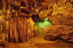
A lovely warm waterfall and hot springs may be found at Finca El Paraso along the lake's northern bank, halfway between Ro Dulce and El Estor. Warm water falls that drop 40 feet (12 meters) into a pool that is kept chilly by nearby streams. Additionally, there are a few caverns that can be explored above the falls. It's a really cool location.
El Boquerón, a limestone canyon, is located a few kilometers east of El Estor. On the Rio Sauce, a wooden canoe can be used to explore the canyon. The canyon's 800-foot (250-meter) walls are striking. A tiny beach close by is a relaxing location to unwind.
El Estor is a town located on the western shores of Lake Izabal. A nickel mine and a number of low-cost hotels can be found in the town. It is positioning itself as a gateway to the region's natural attractions. Mariscos, on the other side of the lake, is a quiet town with a lovely lakeside resort.
Area: 589.6 km²
Length: 48 km
Surface elevation: 1 m
Max. depth: 18 m (59 ft)
Outflow location: Rio Dulce
Inflow source: Rio Polochic
Location: Izabal Department, northeastern corner of Guatemala, some 18 miles (30 km) from the Caribbean Ocean
Lake Izabal - Wikipedia 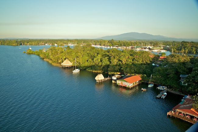
Lake Izabal, Caribbean Lowlands - Anywhere