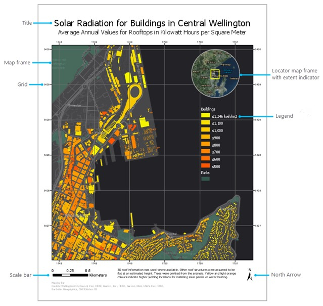
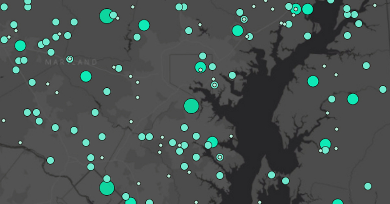
Making Maps and Map Series using ArcGIS Pro Layouts

The primary desktop GIS software from Esri, ArcGIS Pro, was initially made available in 2015. ArcGIS Pro versions 2.6 and 2.7 were used to record this course. It is intended for both ArcGIS Pro newcomers and those who just want to learn more about using ArcGIS Pro layouts to create maps and map series. It will be advantageous to have taken Exploring Spatial Information with ArcGIS Pro, its sister course, before taking this one. These two companion courses' topics may touch on but not go in-depth with subjects including editing spatial data and geoprocessing with tools, models, tasks, and the Python ArcPy module. For ArcPy, a third full-length companion course, ArcPy for Python Developers Using ArcGIS Pro, is currently online, and companion courses for the remaining topics are in the works.
This course's many components can be taken in any sequence. You only need to download the data and make sure ArcGIS Pro is up and running. To complete all exercises in the course, you simply need a Basic level license of ArcGIS Desktop (which includes ArcGIS Pro); no extra products need to be licensed. It is possible to utilize an Advanced level license and numerous extension products for non-commercial uses (like taking this course!) if you do not already have an ArcGIS Desktop license for roughly $100-150 per year through Esri's ArcGIS for Personal Use program.
ArcGIS Pro may also be tried out for free for 21 days. The most popular ArcGIS Pro capabilities for creating maps and map series from layouts are thoroughly covered in this course. The presenter's expertise working with ArcGIS Pro for 5 years and Esri products for more than 30 years led to the cases picked to explain how each feature is used.
WHAT YOU WILL LEARN:
- ArcGIS Pro
- Desktop GIS
- Making Maps
- Making Map Series (Map Books)
Rating: 4.7/5
Enroll here: udemy.com/course/making-maps-and-map-series-using-arcgis-pro-layouts/


