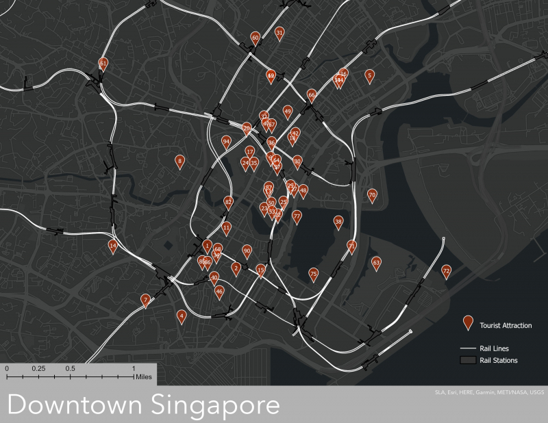
Training on setting up GIS projects (ArcGIS from A to Z)

The deployment of the Geographic Information System (GIS) project requires the maintenance of several components, including data management and the creation of a precise and well-organized cartographic data base. As an information system, a SIG has four different types of resources: physical resources (computer servers and network workstations, measurement and restitution tools), software resources (SIG logic, data collection, remote detection, map and drawing tools), informational resources (various types of data), and human resources (individus, collectifs...).
Through this training, they will go into detail on the software component ArcGIS. The goal of this training is to manage the SIG project's montage stages.
WHAT YOU WILL LEARN:
- Introduction to Geographic Information System
- Presentation of the steps to design a GIS project
- Data Download Sources
- Using ArcGIS Desktop
- Set up your GIS project
- Projection systems
- Data digitization
- Answer questions using spatial information
- Layout
Rating: 4/5
Enroll here: udemy.com/course/concevoir-un-projet-sig-sur-arcgis/


