Malinche

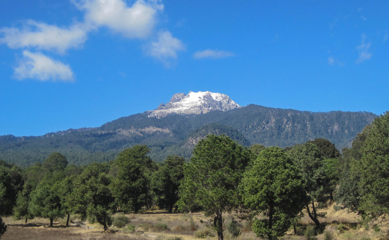
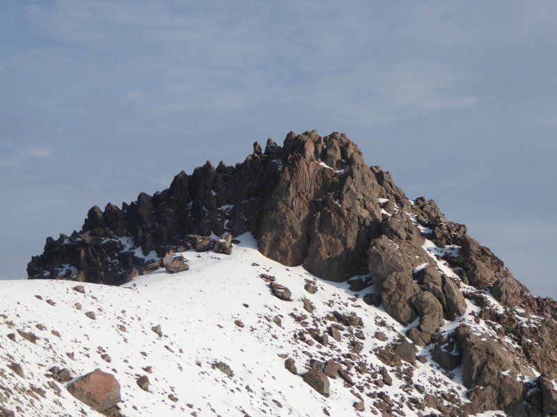
The fifth one in Top 10 Highest Mountains in Mexico that Toplist would like to introduce to you is Malinche. La Malinche, also known as Matlalcueye or Malintzin, is an active volcano in Mexico that has been dormant for the last 3,100 years. It is located in the states of Tlaxcala and Puebla. Its summit is officially 4,461 meters (14,636 feet) above sea level, but GPS measurements show that it is closer to 4,440 meters (14,567 feet). It is Tlaxcala's highest peak, Puebla's fifth highest, Mexico's sixth highest, North America's 23rd highest, and the world's 252nd highest. It rises 1,908 metres (6,260 feet) above Huamantla, 2,461 metres (8,074 feet) above Villa Vicente Guerrero, 2,221 metres (7,287 feet) above Tlaxcala, and 2,299 metres (7,543 feet) above Puebla. Tlaxcala is 22.4 kilometers (13.9 miles) away, Puebla is 28.3 kilometers (17.6 miles), and Mexico City is 118 kilometers (73 miles). Near the summit, the weather is cold, but on the lower slopes, it is mild.
The Tlaxcaltecs named the peak Matlalcueitl, which translates to "[Lady of the] Blue Skirt," after Matlalcueitl, a rain and song goddess who was thought to be the local equivalent of Chalchiuhtlicue. The Spanish simply called it Sierra de Tlaxcala ("Tlaxcalan Range"). The current name, Malinche or Malintzin, became popular in the 17th century and honors the woman who served as an interpreter for Hernán Cortés during the Aztec Empire's conquest.
This volcano is part of the Trans-Mexican Volcanic Belt and is located within the Parque Nacional La Malinche on the border of the states of Tlaxcala and Puebla. The park is the fifth largest of Mexico's 85 peaks. It has a total area of 458.52 square kilometers (177.04 square miles), roughly two-thirds of which belongs to Tlaxcala and one-third to Puebla. The park has a diameter of about 24 kilometers (15 mi).
Location: Tlaxcala / Puebla, Mexico
Elevation: 4,461 m (14,636 ft)


