Mbuindo

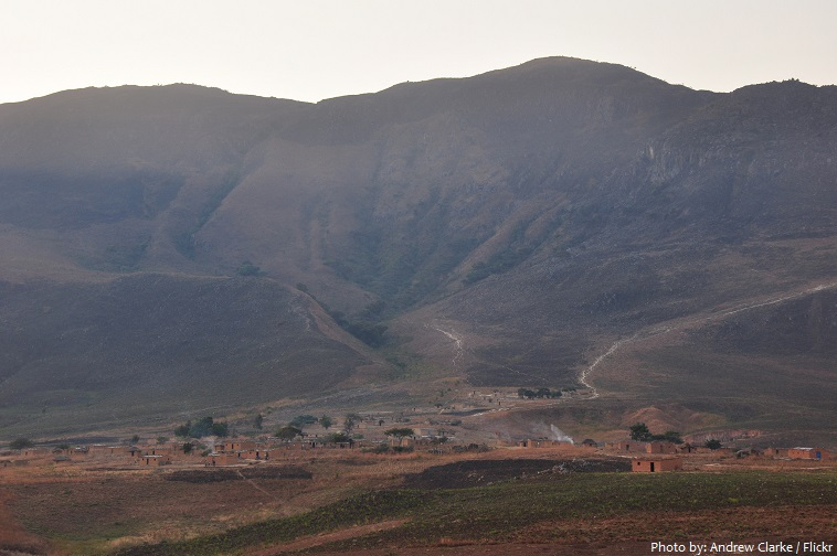
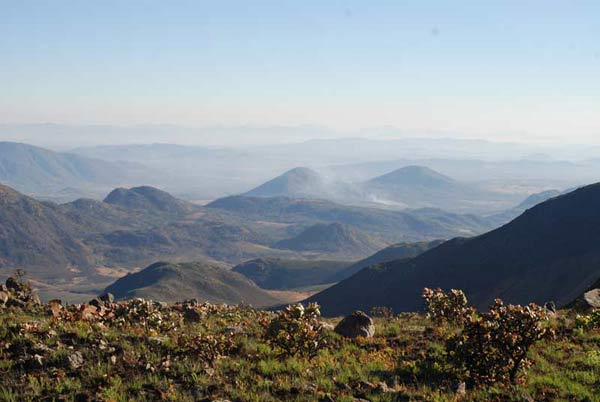
Monte Mbuindo, also known as Monte Mbuindo, Buindo. At 2,480 meters above sea level, it is the highest point in the area. For proper mapping of Monte Mbuindo Lattidude on your map, the latitude is -12.6713900 and the longitude is 15.4038900. The prominence is 142 meters (466 feet) high.
Deforestation is also a problem on the mountain, which causes the soil to erode. When soil erodes, nutrients are lost, making it harder for plants to thrive, both wild and farmed for agriculture. The soil debris frequently washes into surrounding rivers and other waterways, causing ecosystem degradation.
Monte Mbuindo is ranked sixth out of 172 in Huambo and twelfth out of 2654 in Angola in terms of elevation. Monte Mbuindo is ranked #67 out of 172 in Huambo by prominence. Monte Mbuindo is in the Africa/Luanda time zone, with morning sunrise at 06:03 and evening sunset at 17:59.
Location: Huambo, Angola
Elevation: 2,480 m


