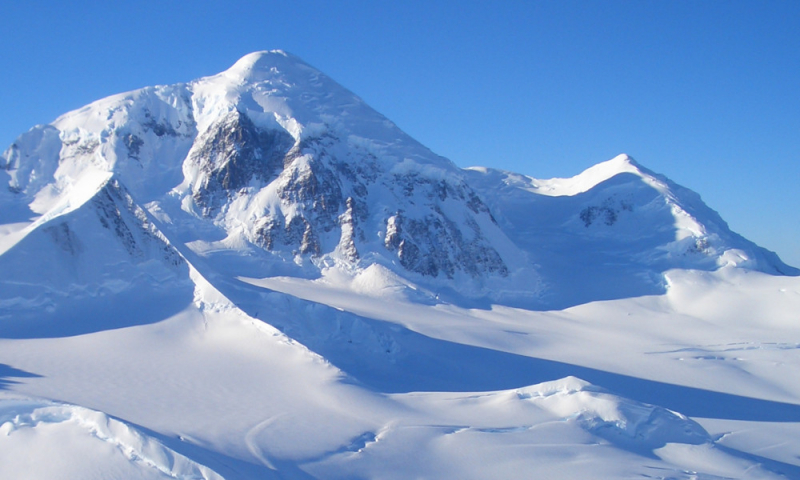
Mount Fairweather – Alaska, British Columbia

Mount Fairweather (formally known as Fairweather Mountain in Canada but commonly referred to as Mount Fairweather) is the tallest mountain in British Columbia, Canada, at 4,671 meters. It's 20 kilometers east of the Pacific Ocean, on the border between Alaska and western British Columbia, Canada. Although the majority of the mountain is located within Glacier Bay National Park and Preserve in Yakutat, Alaska (USA), the top borders Tatshenshini-Alsek Provincial Park in British Columbia (Canada). It's also known as US/Canada Boundary Point #164 or Boundary Peak 164.
Captain James Cook named the mountain on May 3, 1778, ostensibly because of the unusually favorable weather at the time. Many languages have been used to translate the name. It was given the names "Mt. Beautemps" by La Perouse, "Mte. Buen-tiempo" by Galiano, "Gor[a]-Khoroshy-pogody" on Russian Hydrographic Dept. Chart 1378 in 1847, and "Gor[a] Fayerveder" by Captain Tebenkov, Imperial Russian Navy. Constantin Grewingk named it "Schönwetterberg" in 1850, and Justus Perthes named it "Schönwetter Berg" in 1882.
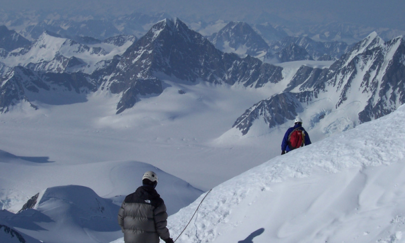
Allen Carpé and Terris Moore were the first to climb Fairweather in 1931.
Location: Glacier Bay National Park and Preserve, Alaska / Stikine Region, British Columbia
Elevation: 4671 m (15,325 ft)