Mount Hubbard – Alaska, Yukon Territory

Mount Hubbard is one of the Saint Elias Range's most prominent peaks. It is located on the Alaska/Yukon border, with Kluane National Park and Reserve on the Canadian side and Wrangell–St. Elias National Park on the American side. The peak was named after Gardiner Greene Hubbard, the first president of the National Geographic Society, who had co-sponsored Russell's trip, by USGS geologist Israel Russell in 1890.
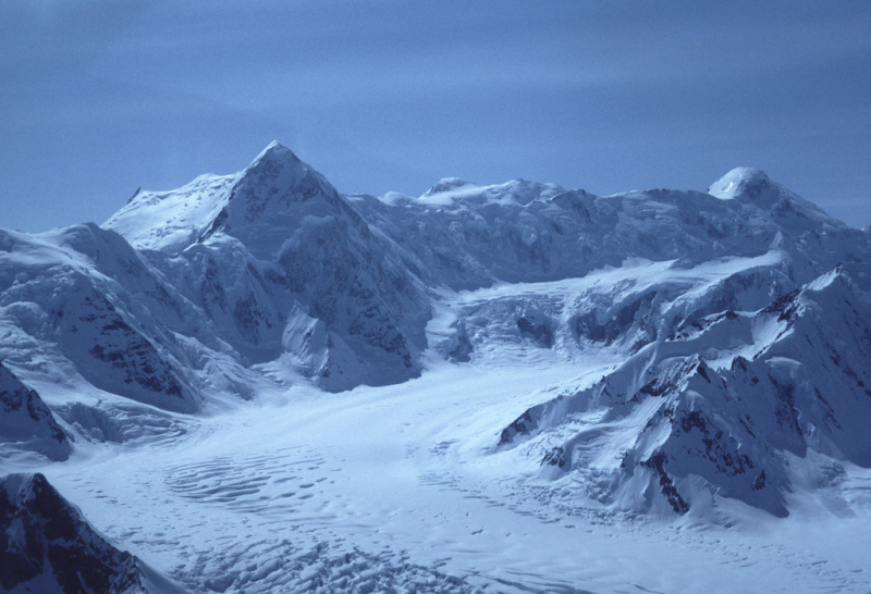
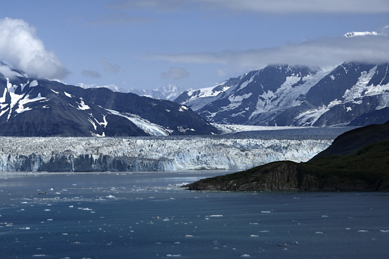
Hubbard is the highest point of a huge massif that includes three designated summits: Mount Alverstone, Mount Kennedy, and Mount Hubbard. The border between Canada and the United States runs roughly south from these peaks toward the Alaska panhandle, and roughly west toward Mount Saint Elias, which is about 100 kilometers distant. Mount Hubbard is separated from Mount Vancouver to the west by the Hubbard Glacier, while the Lowell Glacier is to the east.
Mount Hubbard is the United States' eighth highest mountain and Canada's twelfth highest summit. It's also noted for its significant elevation above the surrounding countryside. For example, its west face rises 2,300 meters above the Alverstone Glacier in less than 3.2 kilometers, while its top rises 3,350 meters above the Hubbard Glacier in less than 11.3 kilometers. Mount Hubbard lies little over 32 kilometers from Disenchantment Bay's tidewater. Despite the steep fall to the west, the eastern side of the mountain offers a non-technical route to the summit.
Location: Yukon, Canada / Yakutat City and Borough, Alaska, U.S.
Elevation: 4557 m (14,951 ft)