Mount Namuli
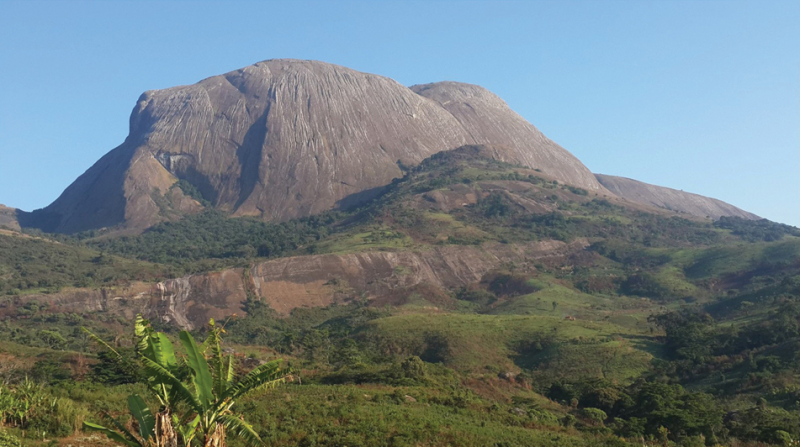
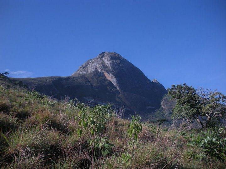
Mount Namuli is one of the highest mountains in Mozambique and the tallest in the province of Zambezia. Henry Edward O'Neill, the British consul in Mozambique, measured, surveyed, and reported it in 1886 at a height of 2,420 meters (7,940 feet). The Namuli massif is made up of a level plateau with Mount Namuli's granite dome rising above it. The area was formerly covered in tropical rainforest and is now a significant biodiversity hotspot with numerous indigenous animal and plant species.
The lower slopes are presently mostly used for tea growing, while the intermediate slopes are used for other agricultural purposes, with indigenous forest confined to the upper elevations along watercourse corridors. The ideal camping place is near Mugunha Sede in the steep valley (You can also camp at the Regulos wifes hut complex, she swill cook for you if you provide the food and she get some of it). Although you may have to scrape about for some soil near the summit just below Namuli's Highest point, you can pitch a tent in the level area near the summit just below Namuli's Highest point. The nearest water source is the spring described previously, which is roughly a one-hour walk from the top.
Location: Province of Zambezia
Elevation: 2,420 m


