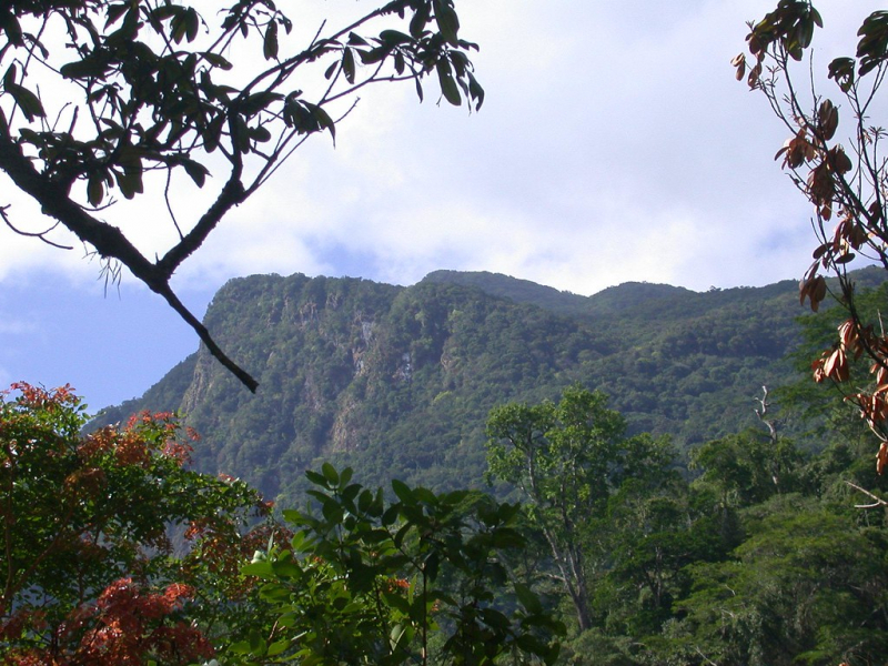
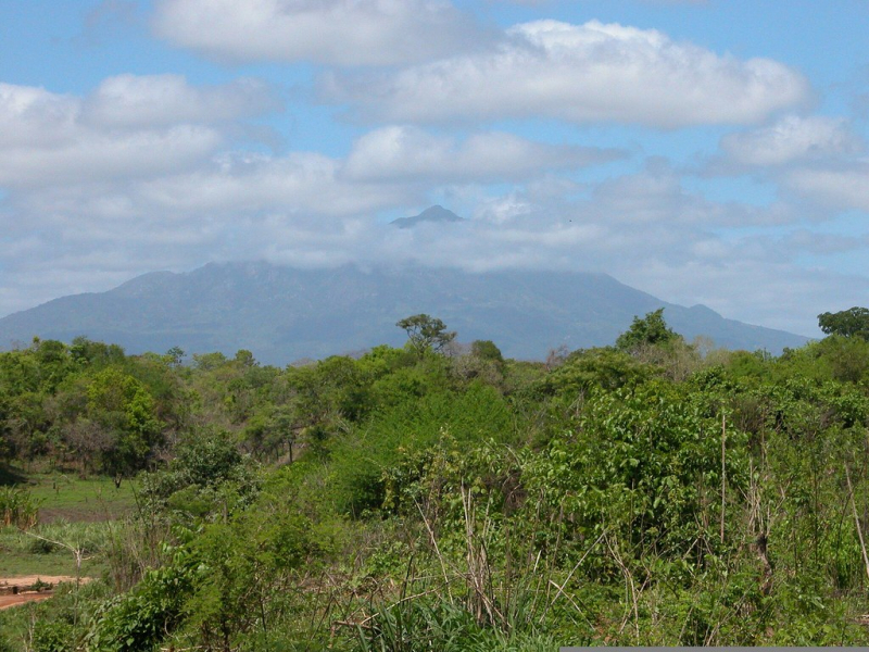
Serra Chiperone
Mount Chiperone is one of the highest mountains in Mozambique. Mount Chiperone rises 50 kilometers south of Malawi's Mount Mulanje range from the surrounding plains. The Central African Plateau includes the lowlands to the north, which are 400–450 meters above sea level.
The southern plains are lower, with an elevation of 200–350 meters, and run down to the Zambezi River. 35 kilometers to the west is the Shire River valley, which is part of the African Rift Valley system. Above 600 meters, the mountain covers about 100 square kilometers, with 4915 hectares above 800 meters, 2770 hectares above 1000 meters, and only 110 hectares above 1800 meters.
Mt. Chiperone's plant communities change with elevation and exposure. Below 1000 meters in height, miombo woodland predominates. The majority of the woodland below 800 meters has been destroyed for cultivation, with the remaining woodland concentrated on the northern and western slopes.
Location: Milange District, Zambézia Province.
Elevation: 2,054 m


