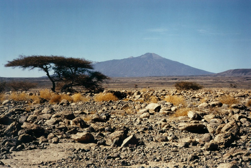
Pic Toussidé Mountain

Pic Toussidé (also Tarso Toussidé) is a Chadian potentially active stratovolcano. Toussidé is located in the Tibesti Mountains, between the enormous Yirrigué caldera and the smaller Trou au Natron and Doon Kidimi craters. It is 3,265 meters (10,712 feet) above sea level. A series of lava flows have flowed westward away from Toussidé and east into the Yirrigué caldera from the volcano.
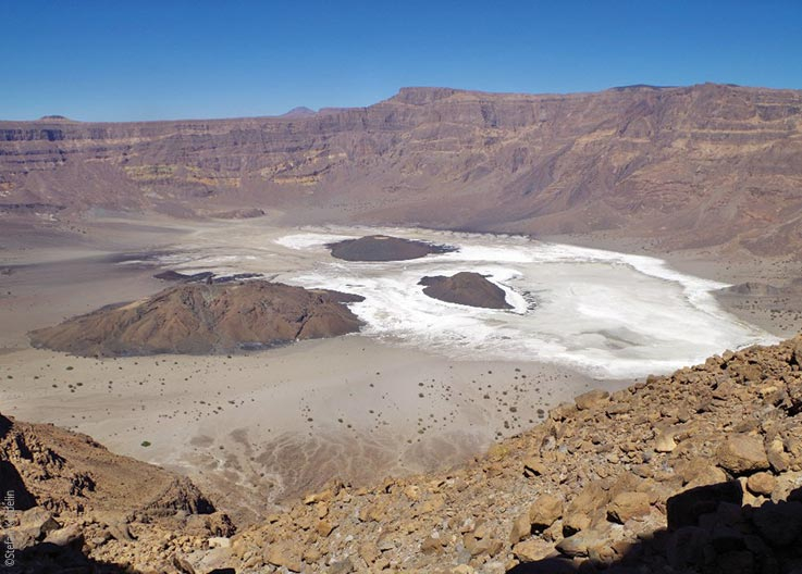
Trou au Natron, the depression southeast of the volcano, is about 8 by 6 kilometers (5.0 by 3.7 mi) in diameter and 700–1,000 metres (2,300–3,300 ft) deep. It was filled with a lake during the last glacial maximum, or the early-middle Holocene. Within Trou au Natron, a variety of volcanic cones have formed. Signs of volcanic activity at Toussidé include fumarolic activity on the top and geothermal manifestations within Trou au Natron.
The annual temperature range at Trou au Natron is 27–8 °C (81–18 °F), with a daily temperature variation of 8.8 °C (15.8 °F), which is lower than in the lowlands. Frost is possible at higher elevations. Trou au Natron receives 93.3 millimetres (3.67 inches) of precipitation each year. The majority of it falls as frontal precipitation throughout the summer, and it is more abundant than in the lowlands; wadis are formed by the Tibesti mountains. Other, more speculative estimates place Toussidé's annual precipitation at 150–250 millimetres (5.9–9.8 in).
Location: Tibesti Region, Chad
Elevation: 3,265 m (10,712 ft)


