Rokel River

Top 4 in Top 6 Longest Rivers in Sierra Leone
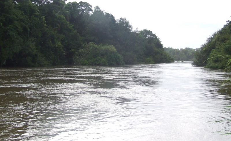
The Rokel River (also known as the Seli River; originally known as the Pamoronkoh River) is the longest Rivers in Sierra Leone, West Africa. The Gbengbe and Kabala hills, as well as the Sula Mountains, divide the drainage basin, which covers 10,622 square kilometers (4,101 square miles).
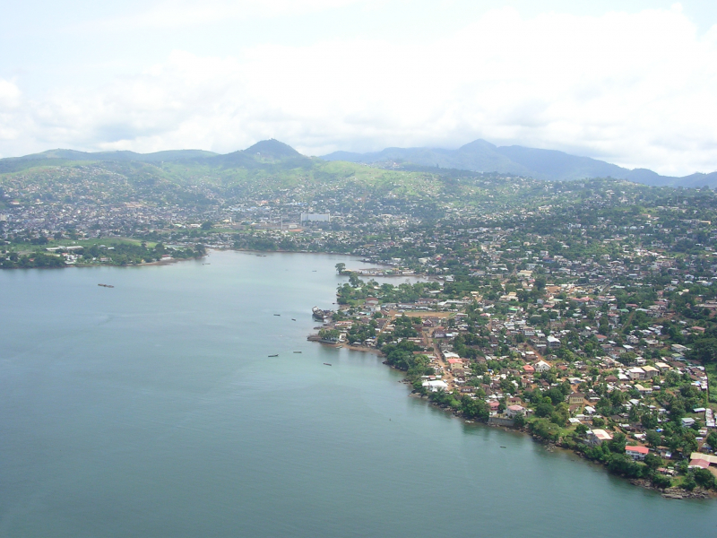
In 1999, the estuary, which covers an area of 2,950 square kilometers (1,140 square miles), was designated as a Ramsar wetland site of significance. For geological purposes, the Rokel River and its branches are referred to as the "Rokel River Group."
The Tabe formation is claimed to be the geological formation in this group, with glacial deposits dominating the eastern side and exposed along the river in some lengths; the geological formation observed in the river is granite rocks. Folded sedimentary rocks are a broad classification for the formation.
Its orogeny is also said to be around 550 Ma and corresponds to the Pan African thermo-tectonic period. It is a tectonically controlled basin featuring Precambrian, Infra-Cambrian, and Pleistocene age strata. The river is bordered in on the southeast by the Sula Mountains, and on the west by the grantoid hills of the Gbengbe and Kabal hills.
Length: 386 km


