Top 6 Longest Rivers in Sierra Leone

Not only is the river long, breathtaking, but the views on both sides are blessed by nature for some of the most beautiful in the world and attract many ... read more...tourists. Let's find out the longest rivers in Sierra Leone in the following article!
-
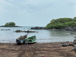
The Great Scarcies River, also known as the Kolenté River, is a river in western Africa that rises 25 miles (40 kilometers) north of Kindia in western Guinea's Fouta Djallon highlands. Great Scarcies River traces the Guinea–Sierra Leone border for 63 miles (101 kilometers) before entering Sierra Leone to complete its 160-mile (257-kilometer) journey to the Atlantic Ocean.
Its lower reaches (in Sierra Leone) flow through a heavily inhabited mangrove swamp area that the Temne people have cleared considerably for rice cultivation. The swamp rice is collected in three cities along the river: Kambia (30 miles [48 km] downstream at the head of navigation), Rokupr (site of the West African Rice Research Station), and Mambolo (site of a government rice mill).
In the mid-1970s, the People's Republic of China funded two bridges at Kambia and Mange to replace ferries that crossed the Great and Little Scarcies rivers. Near the river mouth, fishing and salt preparation are key activities. The scenery of the riverbank is lined with green trees and the vast space makes visitors always feel at peace when traveling along the river. It is considered one of the longest Rivers in Sierra Leone.
Length: 101 km
https://www.trekearth.com/ 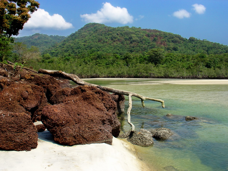
https://www.trekearth.com/ -
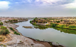
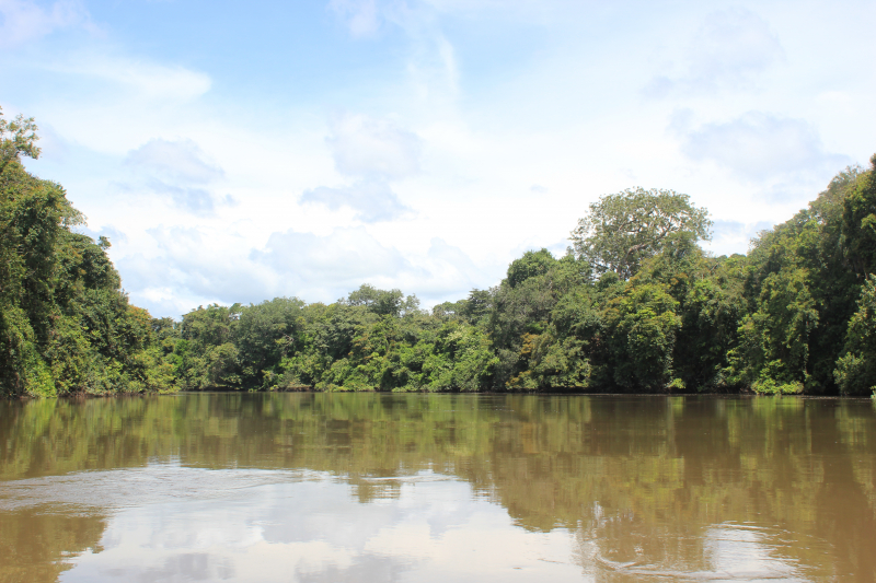
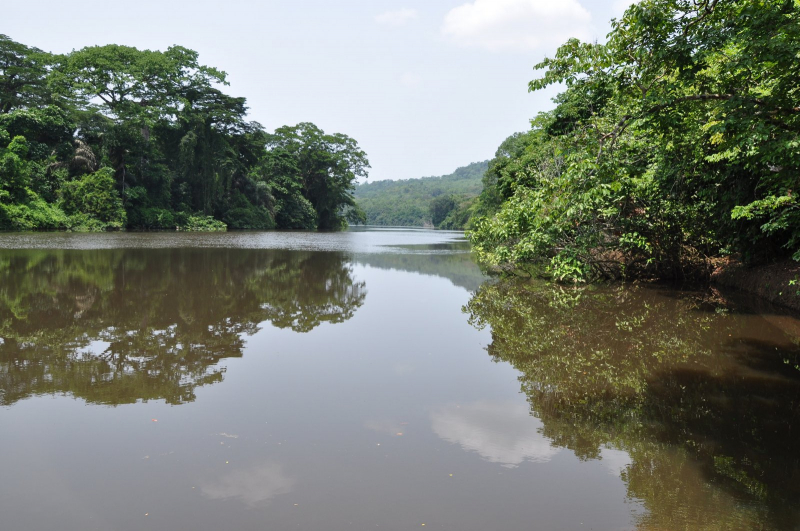
The Little Scarcies River is a west African river that travels from Guinea to Sierra Leone before emptying into the Atlantic Ocean. It is encircled by vast marshlands. The Kaba River is another name for the river.
Just to the north of the mouth of the Little Scarcies River, the Great Scarcies River empties into the same Atlantic Ocean bay (8°54′00′′N 13°11′00′′W). The Temne people, who moved from Futa Jalon to the north, settled in this area. Scassos was an older spelling of the name; the English name is derived from the Portuguese Rio dos Carceres.
The river runs straight and on both sides are green forests. You can try taking a ferry to see the scenery along the river. In addition, this place also has extremely rich vegetation not only under the water but also in the forests. To visit this river is not difficult. You can go by road to the riverside and then by ferry. With an impressive length of 280km, the Little Scarcies River is considered one of longest rivers in Sierra Leone.
Length: 280 km
https://en.wikipedia.org/ 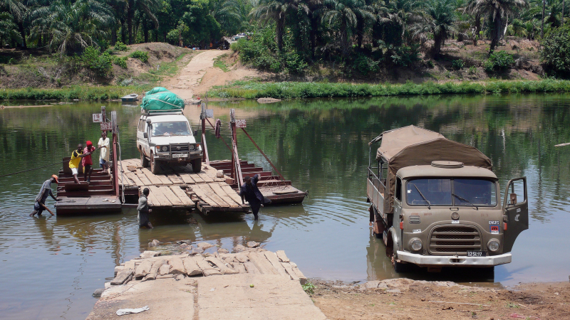
https://www.flickr.com/ -
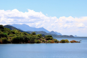
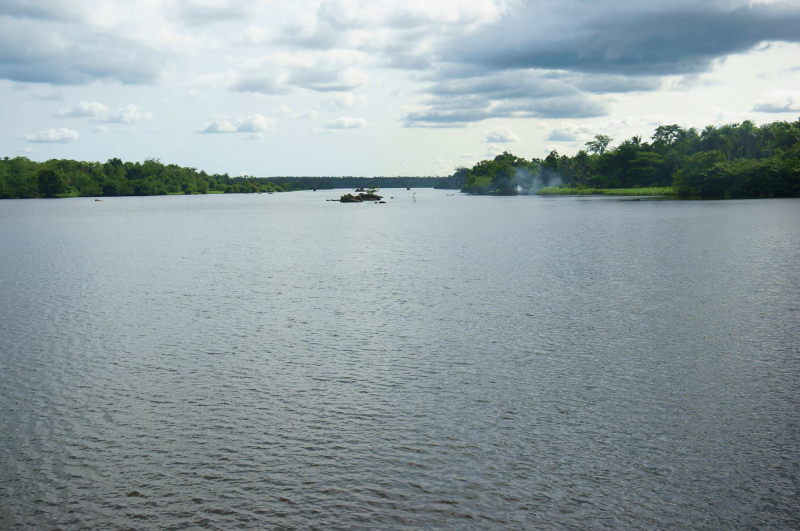
The Sierra Leone River is a river estuarine in Western Sierra Leone that flows into the Atlantic Ocean. It is between 4 and 10 miles wide (6–16 km) and 25 miles (40 km) long, it is formed by the Bankasoka and Rokel rivers. It is home to Queen Elizabeth II Quay and Pepel ports. Shipping is also vital in the estuary. It is the continent of Africa's largest natural harbor.
The estuary is home to several islands, notably Tasso Island (the largest), Tombo Island, and the historically significant Bunce Island. In the west of Sierra Leone, the Sierra Leone River estuary is classed as a wetland of international importance under the Ramsar Convention, covering 2,950 square kilometers (1,140 square miles).
The swamps are mostly mangroves, although there are also tidal freshwater swamp woods in the vicinity. Freetown, Sierra Leone's capital city, lies on the south side of the harbor, while Lungi International Airport, the country's main airport, is on the north side of the harbor in a region known as the "Bullom Shore." The speed boat or ferry are the most common modes of transit from the airport to Freetown. Hovercraft or helicopter services have ceased to exist.
Length: 40 km
https://dxnews.com/ 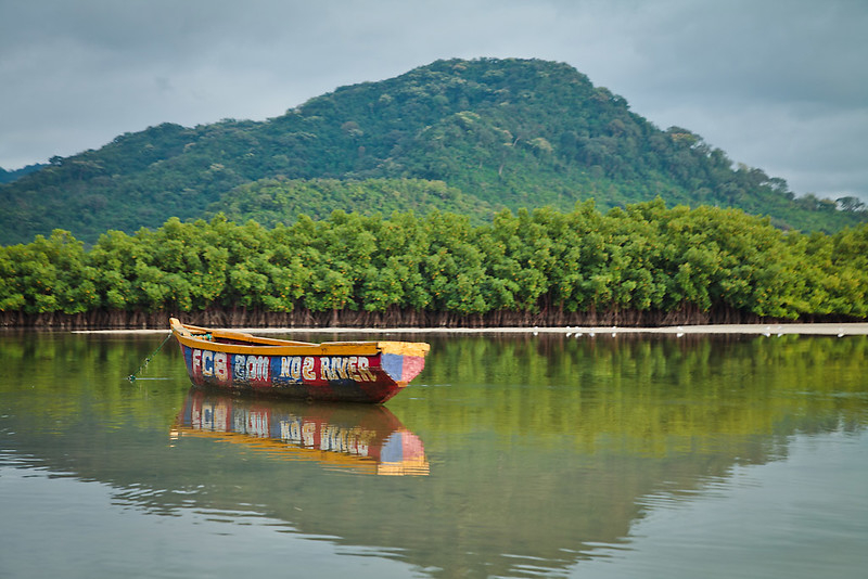
https://www.flickr.com/ -
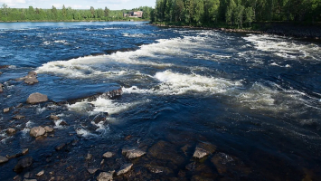
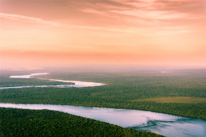
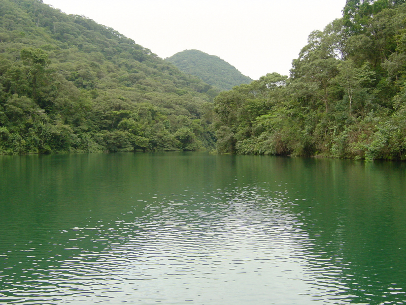
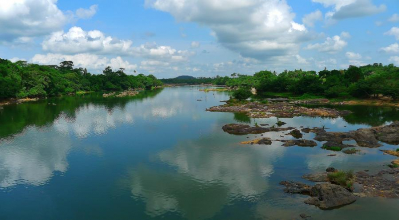
The Rokel River (also known as the Seli River; originally known as the Pamoronkoh River) is the longest Rivers in Sierra Leone, West Africa. The Gbengbe and Kabala hills, as well as the Sula Mountains, divide the drainage basin, which covers 10,622 square kilometers (4,101 square miles).
In 1999, the estuary, which covers an area of 2,950 square kilometers (1,140 square miles), was designated as a Ramsar wetland site of significance. For geological purposes, the Rokel River and its branches are referred to as the "Rokel River Group."
The Tabe formation is claimed to be the geological formation in this group, with glacial deposits dominating the eastern side and exposed along the river in some lengths; the geological formation observed in the river is granite rocks. Folded sedimentary rocks are a broad classification for the formation.
Its orogeny is also said to be around 550 Ma and corresponds to the Pan African thermo-tectonic period. It is a tectonically controlled basin featuring Precambrian, Infra-Cambrian, and Pleistocene age strata. The river is bordered in on the southeast by the Sula Mountains, and on the west by the grantoid hills of the Gbengbe and Kabal hills.
Length: 386 km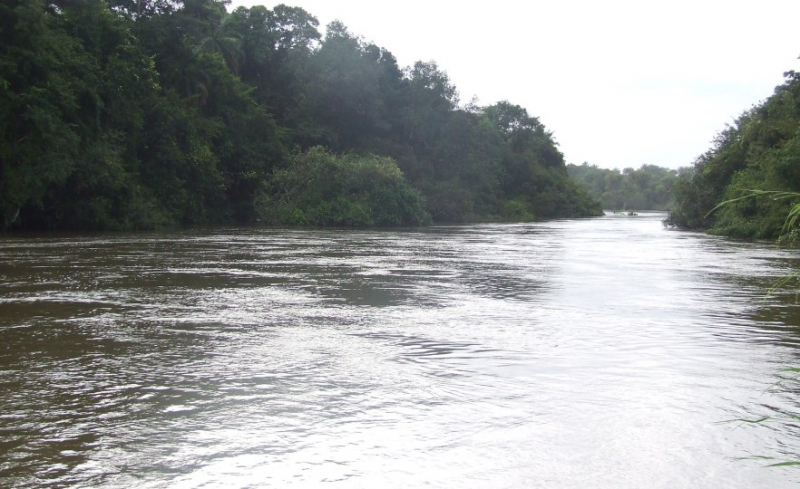
https://allafrica.com/ 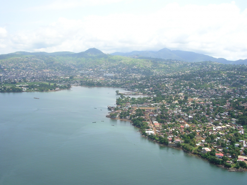
https://en.wikipedia.org/ -
Sierra Leone's Sewa River is one of longest Rivers in Sierra Leone. The Bagbe and Bafi rivers, which originate in the hilly parts of the country's northeastern region, near the Guinean border, are its most distant origins. Sewa flows 240 kilometers (150 miles) in a south-southwestern direction from the confluence of Bagbe and Bafi in the Kono District, draining an area of 14,141 square kilometers (5,460 sq mi).
The river joins the Waanje River near the Atlantic coast to form the Kittam River. The Kittam River travels westward along the coast for 48 kilometers (30 miles) before entering a network of lagoons and streams divided from the sea by Turner's Peninsula. Kittam drains into the bigger estuary Sherbro River near the island of Sherbro.
The Sewa River is navigable over short distances, but rapids and cataracts dominate the middle and upper portions. Sierra Leone benefits greatly from the river's commercial potential. On a huge scale, diamonds are being panned in Sewa's upper reaches. Rice farming and piassava cultivation, which is exported for the creation of besoms, are key crops closer to the coast.
Length: 240 km
https://dxnews.com/ 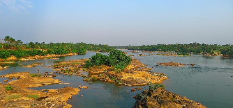
https://www.flickr.com/ -
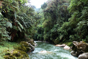
The Mano River is a West African river. It begins in Liberia's Guinea Highlands and runs along the Liberia-Sierra Leone border. Guinea's Parrot's Beak region, Liberia's Lofa County, and Sierra Leone's Kono and Kailahun District are among the districts through which the river passes. In some places, diamond mining is a prominent industry.
In the 1990s, a series of violent confrontations involving these regions arose as a result of control of the area's resources and the instability of the national governments of all three countries (See Sierra Leone Civil War, First Liberian Civil War, Second Liberian Civil War).
In 1973, Liberia and Sierra Leone formed the Mano River Union. Guinea became a member in 1980. Côte d'Ivoire joined in 2008 after it was relaunched in 2004 as a customs and economic union. One of the very interesting experiences here is that you will be able to rent a small boat to go along the two banks. The boatman will tell you many interesting and mysterious stories in this river.
Length: 320km
https://libspot.com/ 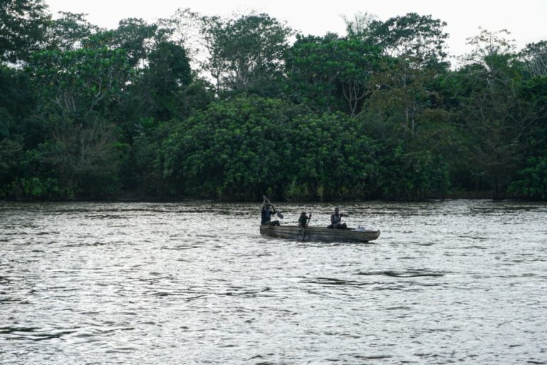
https://www.wabicc.org/