Ruvuma River


The third one in Top 10 Longest Rivers in Mozambique that Toplist would like to introduce to you is Ruvuma River. The Ruvuma River, also known as the Rovuma River, is a river in Africa's Great Lakes region. It forms the border between Tanzania and Mozambique for the majority of its length (in Mozambique known as Rio Rovuma). The river is 800 kilometers (497 miles) long, with a drainage basin measuring 155,500 square kilometers (60,000 square miles). At its mouth, its mean annual discharge is 475 m3/s (16,774 CFS).
The lower Ruvuma river is formed by the confluence of two nearly equal branches at 11° 25' S., 38° 31' E., the longer of which, the Lujenda, comes from the south-west and the other, which still bears the name Ruvuma, from the west. Its head-stream flows due west before turning south and east on an undulating plateau 1,000 m (3,300 ft) high, immediately to the east of Lake Nyasa, at 10° 45' S., 35° 40' E.
The Ruvuma flows eastward near the base of an escarpment of an arid sandstone plateau to the north, from which direction the streams that have cut deep channels in the plateau edge have almost all short courses.
The opposite bank of the Ruvuma receives, in addition to the Lujenda, the Msinje River and the Luchulingo River, which flow in broad valleys from south to north. The Lujenda rises near Lake Chilwa, in the small Lake Chiuta (1,700 ft), with the swamps to the south separated from Chilwa by a narrow wooded ridge. The stream that emerges from Chiuta flows through a swampy valley into the narrow Lake Amaramba, from which the Lujenda River emerges as an 80-yard-wide stream.
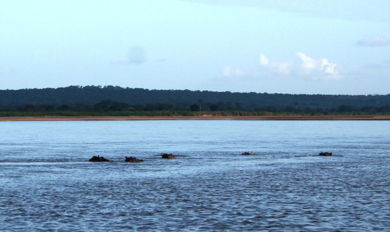
Lower down, the width varies greatly, with many parts containing long wooded islands that rise above the flood level and are frequently inhabited. During the dry season, the river can be crossed in many places. It is about a mile wide at its mouth.
The lower Ruvuma, which is often a half-mile wide but generally shallow, flows through a swampy valley flanked by plateau escarpments that contain several small river backwaters. The mouth is located near 10° 28' S., 40° 30' E., with the parallel of 10° 40' forming the boundary near the coast. The Ruvuma is approximately 500 miles long (800 km).
Length: 800 km (500 mi- shared with Tanzania)