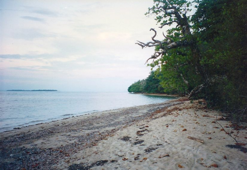
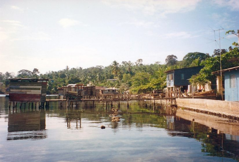
Sixaola River


Sixaola River (Spanish: Ro Sixaola) is a river in Costa Rica's southern Limón Province. It runs northeast of Sixaola from the Cordillera Talamanca to the Caribbean Sea at 9°34′20′′N 82°33′54′′W. The La Amistad International Park encompasses the river's headwaters. The river forms part of the border between Costa Rica's Limón Province and Panama's Bocas del Toro Province.
The Sixaola River between Guabito, Panama, and Sixaola, Costa Rica, was bridged by an ancient railroad bridge that collapsed in 2017. Pedestrians going between Costa Rica and Bocas del Toro utilized this bridge as a border crossing between Costa Rica and Panama. This bridge has been demolished.
A new binational road bridge is being built adjacent to the existing railway bridge and is scheduled to open in 2020. It will be the conclusion of Costa Rica's National Route 36 and Panama's Route 1001.
The Rio Sixaola also serves as a time zone border between UTC 06:00 (Central) and UTC 05:00 (Eastern). Costa Rica is one hour behind Panama in terms of time zone. Sixaola is where Route 36 comes to an end. Guabito, Panama located directly over the river from Sixaola. This is considered one of the longest rivers in Costa Rica.
Length: 146 km