Térraba River

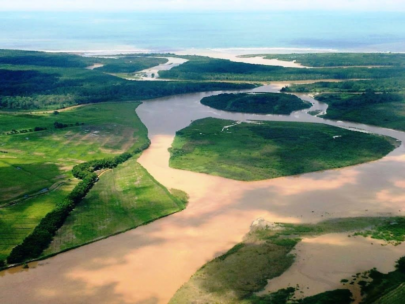
The Térraba River (Spanish: Ro Grande de Térraba) is Costa Rica's largest river, flowing through the southern Brunca area. Diqus is the indigenous Boruca language term for "big river." Its basin covers ten percent of the nation, with a surface area of 5,085 square kilometers (1,963 square miles) and a length of 160 kilometers (99 miles).
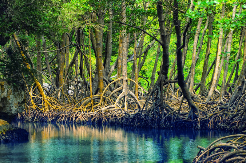
Térraba River emerges at the junction of the Ro General and the Ro Coto Brus as a tributary. In the basin, pineapple plantations cover 10,815 hectares (26,720 acres), accounting for 21% of total production. Mangrove cockles (Anadara tuberculosa and Anadara similis) are harvested in the mangrove swamps and mud around the estuary of the Rio Grande de Térraba, and are known locally as piangua.
The Interamerican Highway follows the river's flow for a short while before crossing it on a bridge. The settlements of Palmar Norte, Palmar Sur, and Ciudad Cortés are located along the river. Six outlets of the Térraba empties into the Pacific Ocean: Mala, Brava, Chica, Zacate, Guarumal, and Sierpe. Humedal Nacional Térraba-Sierpe (Térraba-Sierpe National Wetlands) is a nationally protected wetland located among the mangroves along the coast.
El Diqus Hydroelectric Project, a projected renewable energy project for the region, has been canceled. It would have necessitated the relocation of 1,500 people and encompassed 7,000 hectares (17,000 acres). This is considered one of the longest rivers in Costa Rica.
Length: 160 km


