Top 12 Best Lakes To Visit in New Hamsphire
New Hampshire is one of the smallest states in the United States but it is home to many popular tourist attractions. From famous historical sites to landmarks, ... read more...New Hampshire always attracts tourists to experience and explore. Let's find out with Toplist the best lakes to visit in New Hampshire!
-
The largest lake in the U.S. state of New Hampshire, Lake Winnipesaukee is situated in the Lakes Region at the base of the White Mountains. It spans 179 km2 (184 km2 when Paugus Bay is included) and is approximately 34 km long (northwest-southeast) and from 1.6 to 14.5 km wide (northeast-southwest), with a maximum depth of 55 m. The Broads is the name of the lake's central region.
The most developed portion of the western shore is around Weirs Beach, which has a 450-foot lifeguarded sand beach at Endicott Rock Park with restrooms, a playground, and covered picnic tables. For canoes and kayaks, this modest boat launch is an excellent way to get to the lake.
The M/S Mount Washington or the US Mailboat M/V Sophie C can be boarded at the boardwalk for a sightseeing ride around the lake, and FunSpot is a sizable arcade with the largest video game museum in the world.By boat or by car, visitors can go through the several settlements that line Lake Winnipesaukee's shore. Each one provides a distinctive offering. Weirs Beach contains boardwalks and arcades, slides, a public beach, and a recreation area. Visit the vintage, art, and craft shops in the restored mill village of Meredith. Even down to its picturesque Main Street, Wolfeboro is a picture-perfect community. Each of the following towns has a distinctive flavor: Center Harbor, Moultonborough, Tuftonboro, Alton, Gilford, and Laconia. Every community has public parks and docks, and they host a variety of events all year long like band concerts and fireworks displays.
Location: Belknap County and Carroll County, New Hampshire
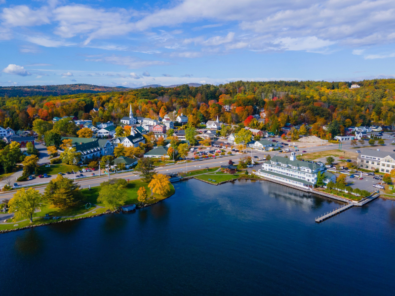
Photo: newhampshireway.com 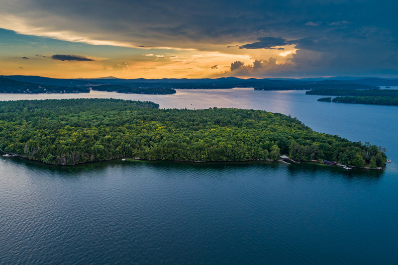
Photo: rocherealty.com -
Squam Lake is one of the best lakes to visit in New Hampshire. This lake is a body of water that spans the borders of Grafton, Carroll, and Belknap counties and is situated in central New Hampshire, south of the White Mountains, in the Lakes Region. Holderness is the lake's major town center. The lake is situated northwest of Lake Winnipesaukee, which is significantly bigger. There is only one small village, Holderness, which has cottages that are covertly hidden by trees on its crooked shore. If you were to kayak about the lake quietly, you may assume that most of its shore is uninhabited besides loons and the occasional eagle.
On a naturalist cruise offered by the Squam Lakes Natural Science Center, discover more about these and the lake habitats. At the center's protected preserve, you may interact with local wildlife and trek its paths to the 1,067-foot summit of Mt. Fayal for vistas. From the center, a different trail leads to the lovely Kirkwood Gardens, where flowering plants have been selected to draw butterflies and birds.
A historic bridal route close by, off Route 113, climbs West Rattlesnake Mountain to ledges with views of the lake and Rattlesnake Island. You'll be seeking for accommodations close by because there are so many things to do between the two lakes. named for the Katherine Hepburn picture that was shot on Squam Lake.
Location: Grafton County, Carroll County, and Belknap County, New Hampshire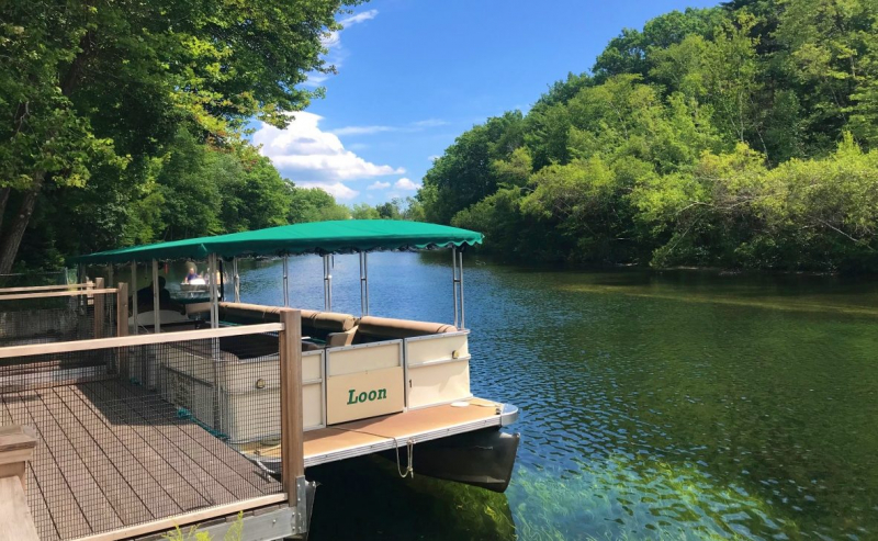
Photo: newengland.com 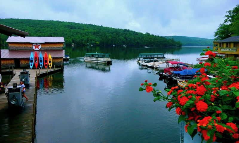
getawaymavens.com -
Western New Hampshire, in the United States, contains Sullivan County and Merrimack County, where Lake Sunapee is situated. It is New Hampshire's only totally contained fifth-largest lake.
The 2,743-foot Mt. Sunapee, which is located inside a state park and is renowned for its downhill ski resort, is beneath Lake Sunapee. Along with picnic tables, a boat launch, lifeguards, a bathhouse, and canoe and kayak rentals, the park also has a lengthy white-sand lakeside beach. The campground for the park is about a mile from the beach.
Early recognition of Lake Sunapee as a summer vacation destination for affluent city families seeking relief from the heat. On large lots along the forested coastlines, they constructed opulent cottages, or they remained in resort hotels. While taking the MV Mt. Sunapee II on a tour of the lake, you can still view a few remnant "cottages."
You will witness a lighthouse, one of only two on New England lakes, in addition to gorgeous views of the mountain and shore. You can reserve a dinner cruise on the MV Kearsarge, a recreation of a Victorian steamboat, to observe the sunset across the lake while you eat.Location: Sullivan County and Merrimack County, New Hampshire
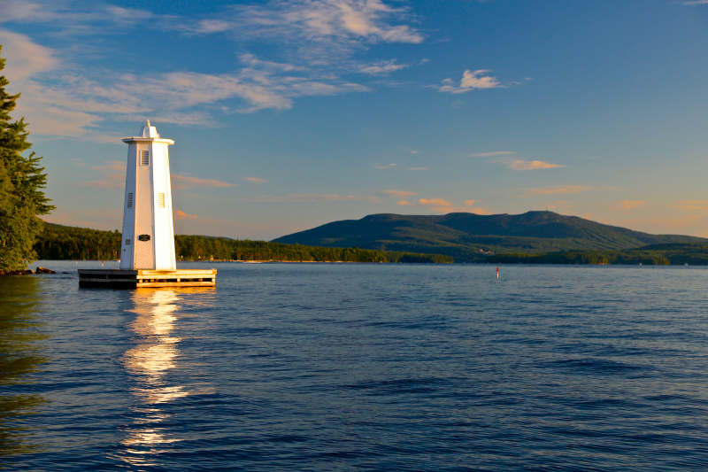
Photo: pamperkinsrealestate.com 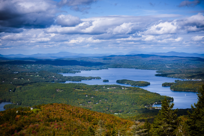
Photo: sunapeeregionproperty.com -
Newfound Lake is located in the communities of Alexandria, Bridgewater, Bristol, and Hebron in central New Hampshire's Lakes Region. When Umbagog Lake on the Maine border is taken into account, its 18.0 km2 area places it fourth in the state overall and third behind Lake Winnipesaukee and Squam Lake among lakes that are wholly contained inside New Hampshire.
The largest freshwater beach in the state, a stretch of golden sand partially shaded by towering pine trees that frame views of the lake, is located in Wellington State Park on the southern bank. A bathhouse with hot showers and facilities is located in the park, and lifeguards are on duty all summer long. Picnic grills are allowed, and there is a small food bar. Boat lanes enable guests to arrive at the park by boat to use the beach in addition to a free public boat launch.
The Newfound Audubon Center, which is located on the lake's northern shore, offers interactive exhibits, trails through the lakeside forests, and canoe and kayak rentals. Newfound Lake is one of the best lakes to visit in New Hampshire.
Location: 614 West Shore Road, Bristol, New Hampshire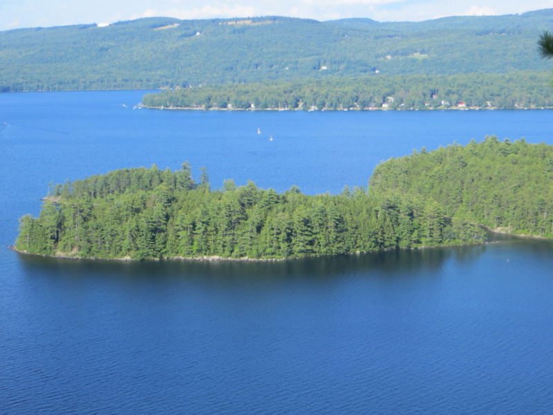
Photo: newfoundlake.org 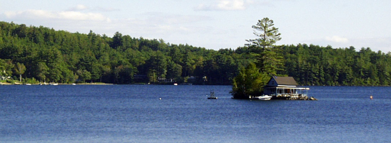
Photo: lakesregion.org -
Coös County, New Hampshire, and Oxford County, Maine both contain the wilderness lake known as Umbagog Lake. One of New Hampshire's most pristine lakes is this one. In addition to the townships of Cambridge, New Hampshire, and Magalloway Plantation, Maine, it is located in the towns of Errol, New Hampshire, and Upton, Maine. The Abenaki term for "shallow water" is supposed to be the source of the name Umbagog, which is properly pronounced with the stress on the second syllable.
Lake Umbagog is regarded as a haven for fans of paddle sports and one of the best kayaking spots in New England. It's one of the few locations where paddling a canoe or kayak to a campsite is possible. Along its erratic beaches, Umbagog State Park includes 33 such isolated locations. The only sounds at night, far from other campers, are the calls of loons fishing in the lake.
The lake, which spans more than 7,500 acres, is largely undeveloped, with the exception of the park campground along its southern side. There, you can rent rowboats, kayaks, and canoes, and the park can arrange transportation to the outlying areas.
Location: 235 East Route 26, Cambridge, New Hampshire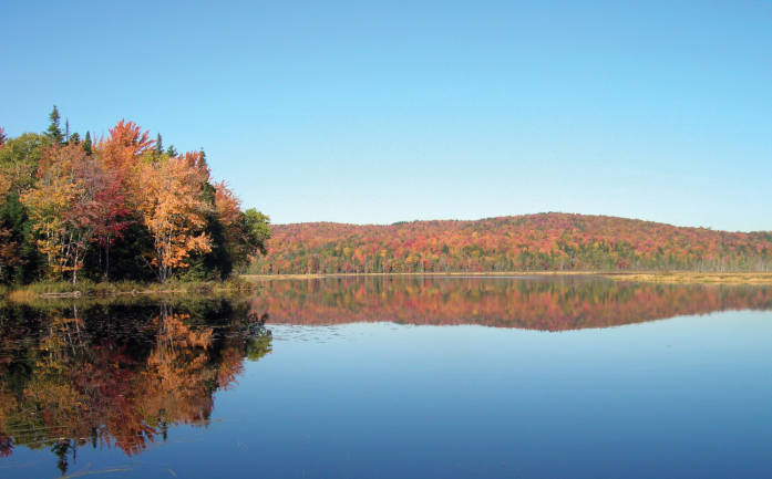
Photo: Wikipedia 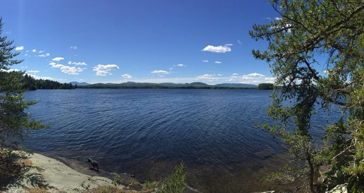
Photo: blog.nhstateparks.org -
The town of Nottingham is home to the 784-acre reservoir known as Pawtuckaway Lake, which is located in Rockingham County in southeast New Hampshire. The Piscataqua River drainage basin contains the lake.
The lake presently has two dams and three dikes. The Pawtuckaway River, which runs southeast to the Lamprey River in the western section of the town of Epping, is fed by the Dolloff Dam, which is located on the lake's southern end. Water is released from Drown's Dam, which is located at the lake's northern end, into the Bean River, which then flows into the North River and, ultimately, the Lamprey River in the northern portion of Epping.
There are other remnants of the glaciers that previously covered the state in addition to the hundreds of lakes and ponds. Similar to the lakes, New Hampshire is covered in enormous boulders known as glacial erratics that were left behind when the ice retreated. One of the state's most magnificent boulder fields may be seen in the state park next to Pawtuckaway Lake.
You can hire double and single kayaks, canoes, and paddleboards at the park's expansive sand beach to explore the lake. Its western shore, which is bordered by trees and is protected by a park, is undeveloped, has numerous bays, and can be paddled around. On land, visitors can stroll a circle trail to see the boulders, climb a fire tower, or comb the marsh for beavers and herons.Location: 40 Pawtuckaway Road, Nottingham, New Hampshire
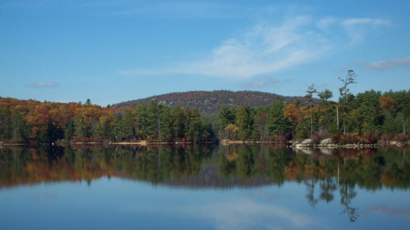
Photo: pawtuckawaylake.com 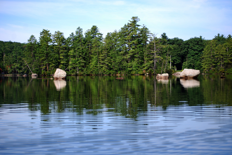
Photo: newengland.com -
In Carroll County, New Hampshire, the United States, close to North Conway is a 15.7-acre body of water called Echo Lake. A tiny swimming beach is present there as it is a part of Echo Lake State Park. In the White Mountains of New Hampshire, the lake is situated at the base of White Horse Ledge and close to Cathedral Ledge, two popular spots for rock climbing. The Saco River basin includes the lake. It is surrounded by trees and sits inside Echo Lake State Park. White Horse Ledge's granite face rises above it.
Both are well-liked rock climbing locations, and you can frequently see climbers carefully working their way up the cliff. Just to the north is Cathedral Ledge. The International Mountain Climbing School is located in North Conway, so instruction is easily accessible if the sport appeals to you.
The public beach on the lake's eastern shore is sandy and has a shallow entryway that is perfect for kayak launching and little children. The beach receives sun well into the late afternoon because of its direction. The trees provide ample shade for the picnic tables, and there is a bathhouse with changing rooms.
Location: 68 Echo Lake Road, North Conway, New Hampshire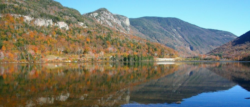
Photo: adventurestudenttravel.com 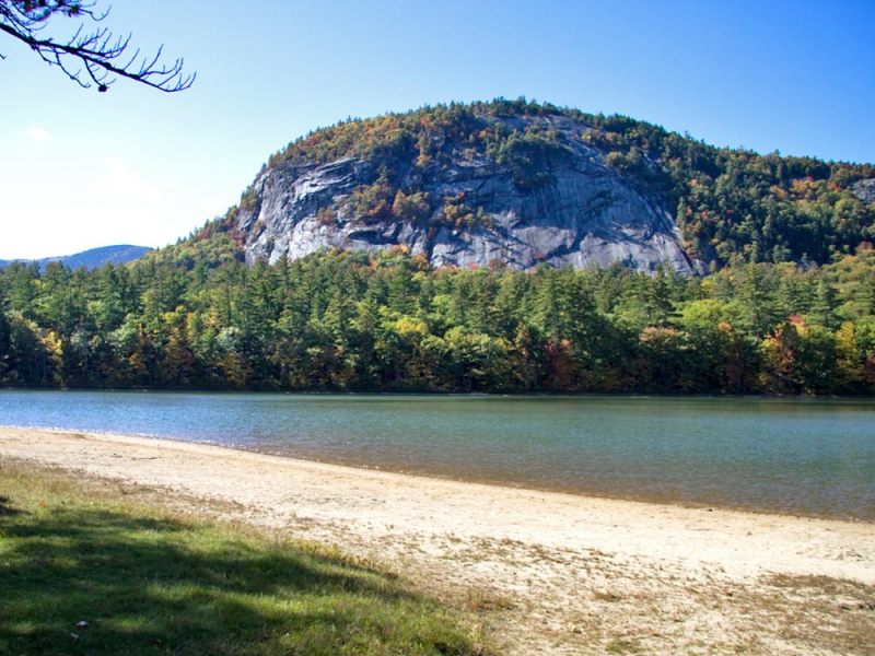
Photo: northconwaynh.com -
Despite being only 125 acres in size, White Lake is one of the best lakes to visit in New Hampshire and is home to the only oceanfront camping in the White Mountains. The day-use picnic area's tables and many of the campground's 203 campsites are shaded by towering pine trees and provide views of the lake.
The famous pointed top of Mt. Chocorua is visible across the trees on the opposite coast, providing one of the best views of any beach in the state from the long, sandy beachfront. A trail through the woods encircles the lake, passing kettle bogs and beaver activity indicators.
Rentable canoes, kayaks, and paddleboards are available by the hour, and fishing is also very popular on the lake. Also in White Lake State Park, a 72-acre stand of endangered pitch pine trees has been designated a National Natural Landmark. Enjoy well-maintained footpath treks around the lake as you search for Loons or evidence of beaver activity. The campground makes a wonderful home base from which to explore the local attractions.
Location: 94 State Park Road, Tamworth, New Hampshire
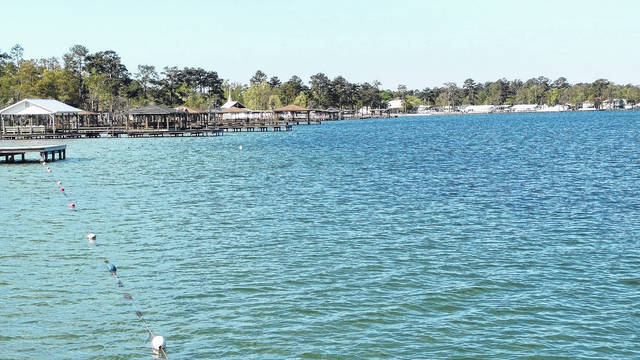
Photo: bladenjournal.com 
Photo: yeudulich.com -
The unincorporated settlement of Silver Lake is situated near the northern end of Silver Lake in the American town of Madison, Carroll County, New Hampshire. North of the settlement is Joy Farm, the vacation residence of E. E. Cummings and a National Historic Landmark.
There are three public beaches in Silver Lake, but few tourists are aware of them. Swimming is permitted at Nichols Beach, Monument Beach, and Kennett Beach, all of which are public and have crystal-clear water for both swimming and snorkeling.
It's typical to see sailboats, canoes, and kayaks; you can rent a kayak or a paddleboard; jet skis are not allowed. At the lake's southernmost point lies the boat launch. With smallmouth bass, pickerel, lake trout, rainbow trout, and whitefish, the fishing is great.
The open cars of the Silver Lake Railroad, which leave from the village of Silver Lake's historic depot, offer tours of the lake's shoreline and the nearby nature reserve. For those who can handle the chilly weather, ice fishing is also popular during the winter.Location: Madison, Carroll, New Hampshire
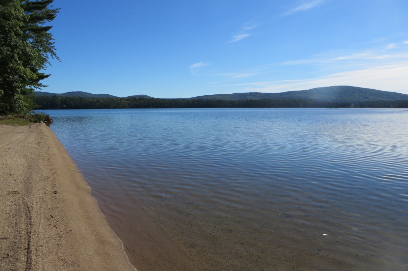
Photo: Wikipedia 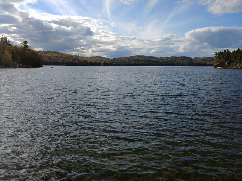
Photo: Wikipedia -
In the United States, Lake Francis is a reservoir on the Connecticut River in northern New Hampshire. The lake is situated in Coos County, along the border between Pittsburg and Clarksville towns and to the east of Pittsburg village. Murphy Dam, erected in 1940 as a flood control measure, confines the lake. The Water Division of the state's Department of Environmental Services owns and maintains the 36 m earthen dam, which is run by TC Energy.
The Great North Woods, in the far north of New Hampshire, is a sparsely populated area, largely along the one road that leads to the Canadian border. Only logging roads and trails used by ATV riders in the summer and fall and snowmobilers in the winter provide access to the extensive forests on each side of Route 3 in these seasons. The largest of the major lakes that are located in the heart of this wilderness, Lake Francis is the furthest south and is just under 2,000 acres in size.
For people who want to go fishing, canoeing, or kayaking or who want to see the moose that frequently wade in the park's waters, Lake Francis State Park is a popular access point. ATV campers can use nine of the 45 campsites that are located near the lake, and from there, they can access 1,000 miles of off-road paths.
Location: 439 River Road, Pittsburg, New Hampshire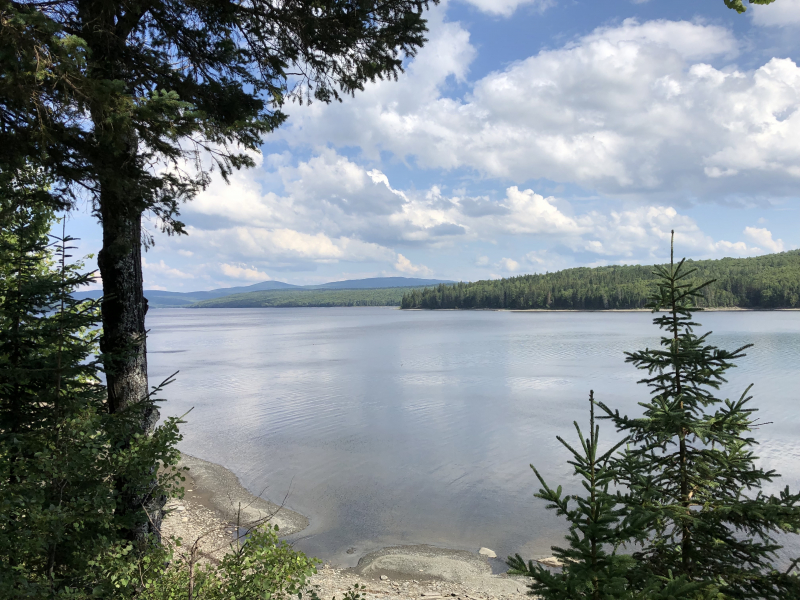
Photo: wikipedia 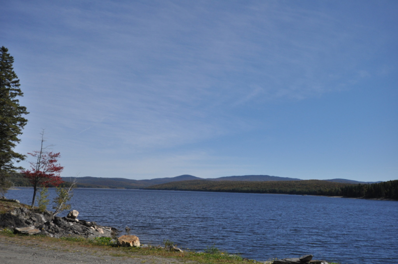
Photo: Wikipedia -
The town of Wolfeboro is home to Lake Wentworth, which is situated in Carroll County in eastern New Hampshire, USA. It is the seventh-largest lake wholly in New Hampshire, at 12.53 km2. Following the short Smith River, which empties into Crescent Lake, the water from Lake Wentworth pours over a dam and into Lake Winnipesaukee at Wolfeboro. Public access to the lake is provided via the 20-hectare Wentworth State Park.
The lake covers 3037 acres, or 3172 acres when islands are included—or around five square miles. The length of the shore is just over 13 miles. Smith River is the only outflow to the west, and it empties into Crescent Lake before flowing into Wolfeboro Bay on Lake Winnipesaukee.
Benning Wentworth, the first Royal Governor of New Hampshire, constructed a summer residence on the lake's shore in 1768, giving the area the distinction of being America's first summer resort. The 100-foot-long structure has 18-foot ceilings and served as America's first summer "cottage". Lake Wentworth is also one of the best lakes to visit in New Hampshire.
Location: 297 Governor Wentworth Hwy., Wolfeboro, New Hampshire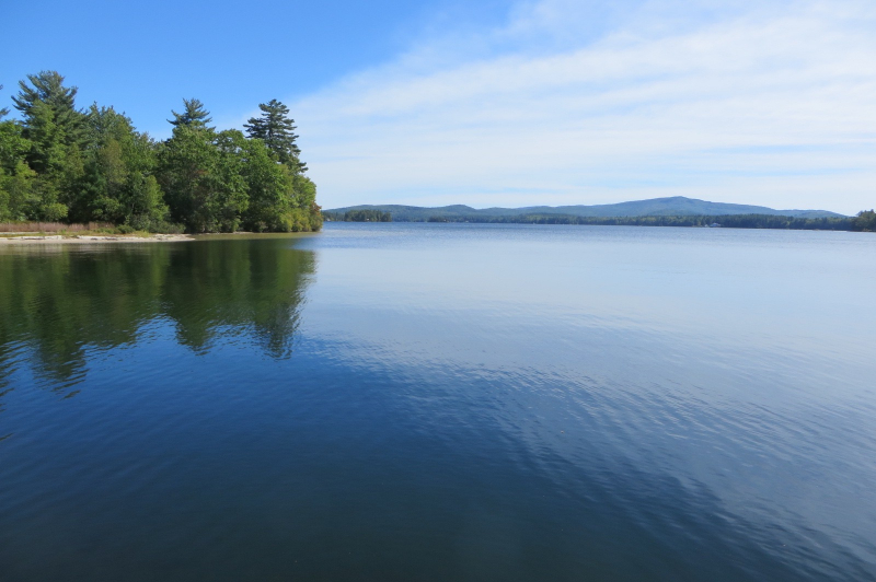
Photo: Wikipedia 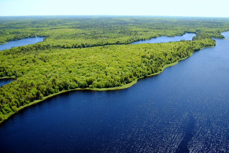
Photo: novascotia.ca -
The four Connecticut Lakes are located north of Lake Francis and are connected to one another like it by the Connecticut River (before it becomes the border between New Hampshire and Vermont). Unending trees, ponds, and streams surround them, and US Route 3 approximately follows the river north to the Canadian border.
The route is frequently visited by moose, earning it the nickname "Moose Alley". Due to their lack of fear of motor vehicles, moose are warned to be on the lookout by signs warning motorists to be careful. The Fourth Connecticut Lake, a little glacial pond less than two acres in size and encircled by a forest of fir and birch, is the only one you can't see from the road. There is a route leading from the border crossing if you are determined to see it. It's incredible to think that little pool is where the powerful Connecticut River rises.
On these rock-strewn coasts, there are put-ins for boats and canoes but no swimming beaches. The lakes are excellent places for fishing and are popular with nature lovers who like solitude and the occasional call of a loon.Location: Coos County, New Hampshire
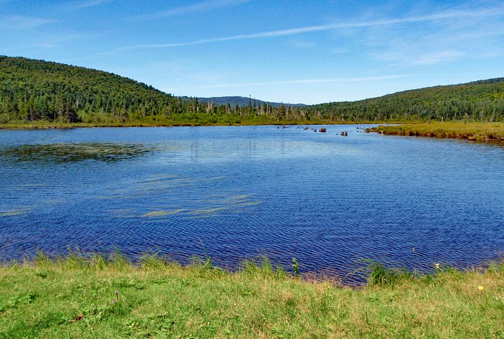
Photo: planetware.com 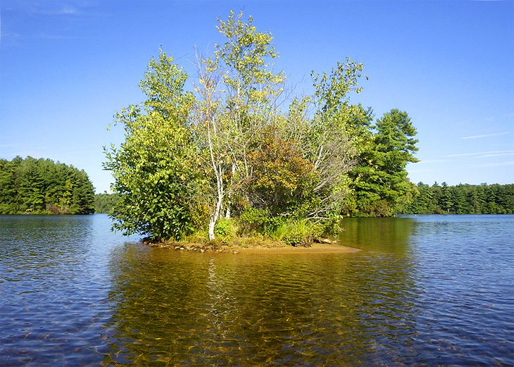
Photo: planetware.com


