Top 10 Most Beautiful Forests in India
India has some of the best forests in the world. India's forests are home to some of the most spectacular living species, from lush green pine and deodar trees ... read more...to diverse fauna ranging from tigers to elephants. A trip to one of these woods may be both restorative and enlightening. It will not only bring you closer to nature, but it will also offer you a greater knowledge of your nation and the beings that inhabit it. Let’s Toplist help you find the list of the most beautiful forests in India!
-
Jim Corbett National Park is a national park in Uttarakhand, India, located in the Nainital district. The first national park in India, Hailey National Park was founded in 1936 during the British Raj and named after William Malcolm Hailey, the administrator of the United Provinces at the time. It was renamed Corbett National Park in 1956, over a decade after India's independence, after hunter and naturalist Jim Corbett, who had played a key part in its formation and had died the year before. The park was the first to be established as part of the Project Tiger project.
Jim Corbett National Park in Uttarakhand is one of India's most popular tourist destinations, particularly for wildlife enthusiasts. It was India's first national park, established in 1936. Wild elephants, sloth bears, langurs, rhesus macaques, peacocks, schools of otters, and numerous varieties of deer such as chital (spotted deer), sambars, hog deer, and barking deer are among the most regularly encountered animals at Jim Corbett. It is one of the nicest woods in India for a relaxing holiday.
Location: Nainital, Pauri Garhwal Uttarakhand, India
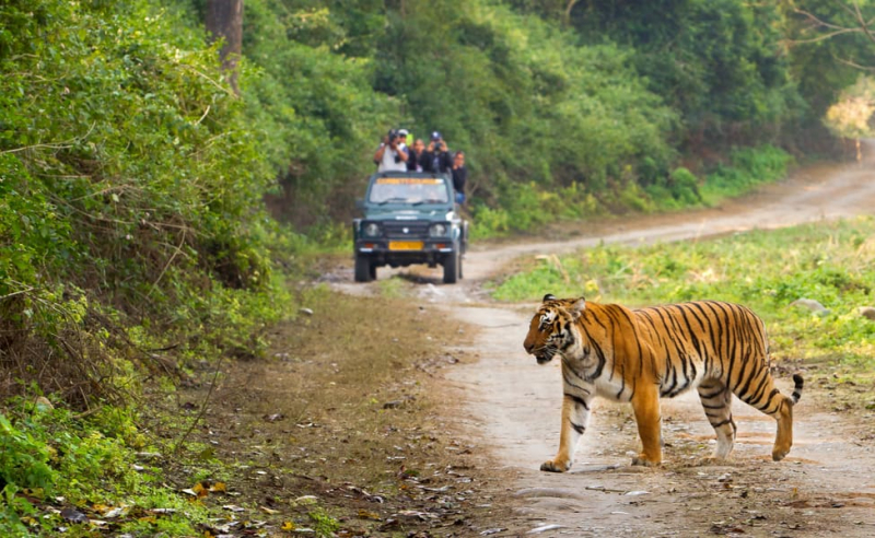
Jim Corbett National Park, Uttarakhand 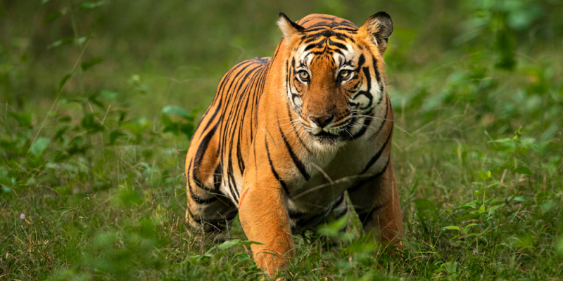
Jim Corbett National Park, Uttarakhand -
The Nilgiri Biosphere Reserve, which stretches across sections of the Western Ghats and the Nilgiri Hills in south India, is an International Biosphere Reserve that draws nature enthusiasts all year. In 2012, it was designated a UNESCO World Heritage Site. The Nilgiri Biosphere Reserve is home to tribal tribes such as the Todas, Kotas, Irullas, Kurumbas, Paniyas, Adiyans, Edanadan Chettis, Cholanaickens, Allar, and Malayan. The Nilgiri Biosphere Reserve is a biosphere reserve in South India's Nilgiri mountains in the Western Ghats. It is India's biggest protected forest region, spanning Tamil Nadu, Karnataka, and Kerala.
It contains the nature sanctuaries of Mudumalai, Mukurthi, Nagarhole, Bandipur, Silent Valley National Park, and Aralam Wildlife Sanctuary, as well as Wayanad, Karimpuzha, and Sathyamangalam. The Nilgiris Biosphere Reserve was established by UNESCO in September 1986 under the Man and Biosphere Programme as an ecosystem of the Nilgiris hill ranges and their surrounding habitats comprising a tract of over 5000 square kilometers. The Nilgiris Biosphere Reserve is India's first and foremost biosphere reserve, having a rich flora and animal history.
Location: Tamil Nadu, Karnataka, and Kerala, South India
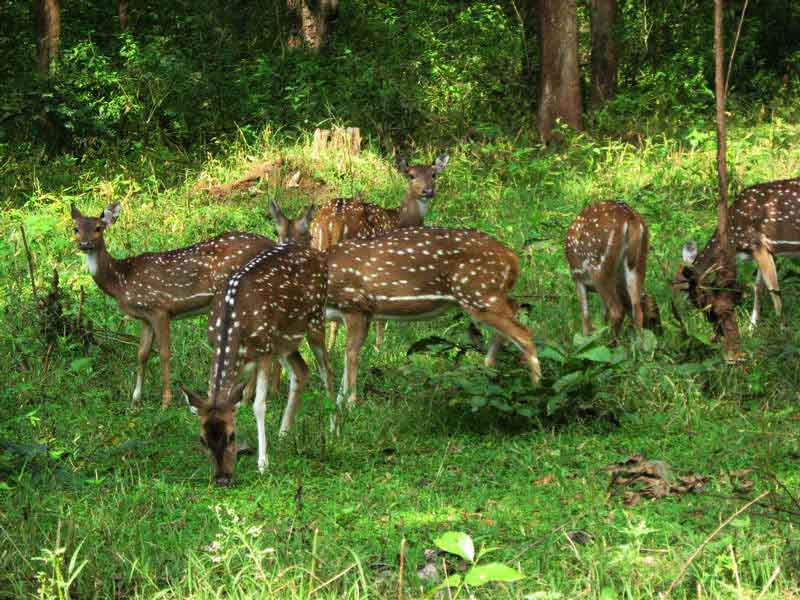
Nilgiri Biosphere Reserve, Tamil Nadu 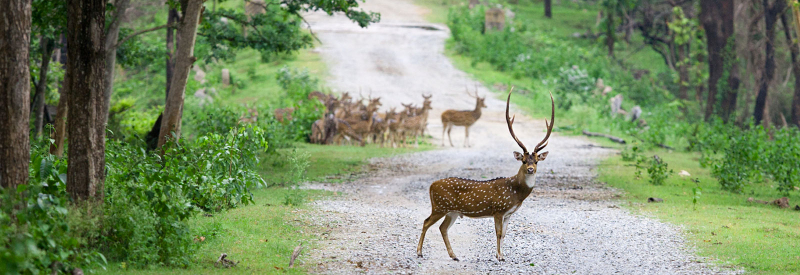
Nilgiri Biosphere Reserve, Tamil Nadu -
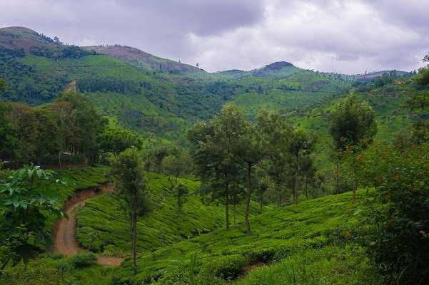
Vandalur Reserve Forest is a protected area in the southwestern suburb of Vandalur, around 30 kilometers from the city center. It is bounded on the west by the Grand Southern Trunk (GST) Road, on the north and east by Suddhanandha Bharathi Street, and on the south by the Vandalur–Kelambakkam Road. Arignar Anna Zoological Park, India's biggest zoological garden, is located within the reserve forest.
The Tamil Nadu Forest Department demarcated a piece of the reserve forest comprising 1,265 acres (512 hectares) in 1976 as the new location for the Madras Zoo, which was formerly located in Park Town. Work began in 1979 at a cost of $75 million, and the zoo opened to the public on July 24, 1985, as the Arignar Anna Zoological Park.
The Vandalur Reserve Forest, located in the southwestern region of Chennai, is one of the best forest reserves in South India. It also contained the Madras Zoo, a renowned tourist destination. Vandalur Hill offers breathtaking views of the surrounding area and makes for a wonderful unconventional vacation.
Location: South-Eastern side of Vandalur Hill, India
Vandalur Reserve forest 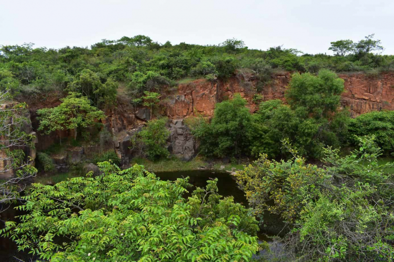
Vandalur Reserve forest -
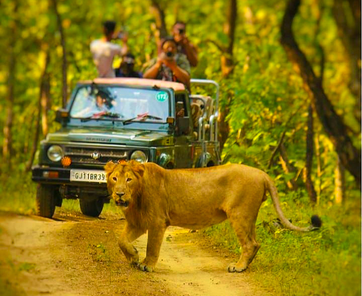
Gir forest, also known as Sasan Gir, is a forest, national park, and wildlife sanctuary in Gujarat, India, near Talala Gir. It lies 43 kilometers (27 miles) north of Somnath, 65 kilometers (40 miles) south of Junagadh, and 60 kilometers (37 miles) south of Amreli. It was formed in 1965 in the former private hunting territory of the Nawab of Junagarh and has a total area of 1,412 km2 (545 sq mi), of which 258 km2 (100 sq mi) is entirely protected as a national park and 1,153 km2 (445 sq mi) as a wildlife sanctuary. It is part of the ecoregion of Khathiar-Gir dry deciduous woods.
Gir forest in Gujarat was formerly the Nawab of Junagadh's wildlife preserve and was formed as a national park in 1965 with the goal of protecting and increasing the lion population, which had dwindled to two dozen in the early twentieth century. Aside from Asiatic lions, the dry deciduous forest is home to a variety of leopards, including the jungle cat, desert cat, and rusty-spotted cat. Sloth bears, striped hyenas, golden jackals, Indian mongoose, Indian palm civets, ratels, chital, nilgai, sambar, four-horned antelope, chinkara, and wild boar are also found.
Location: Junagadh, Gir Somnath, and Amreli Districts, Gujarat, India
Gir forest, Gujarat 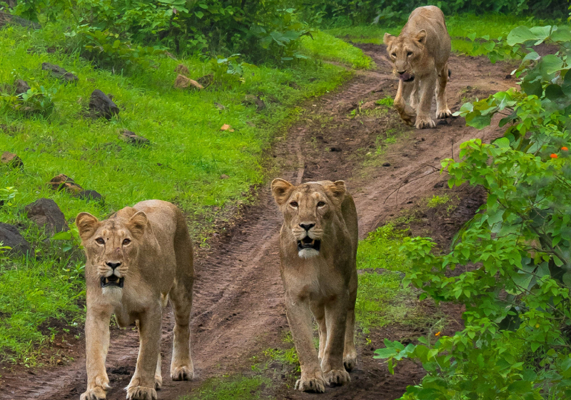
Gir forest, Gujarat -
The Sundarbans National Park in West Bengal, India, is a national park, tiger reserve, and biosphere reserve. It is part of the Sundarbans in the Ganges Delta and next to Bangladesh's Sundarban Reserve Forest. The delta is highly forested, and it is one of the greatest tiger reserves in the world. It also supports a diverse range of bird, reptile, and invertebrate species, including the saltwater crocodile. The current Sundarban National Park was established in 1973 as the core area of the Sundarban Tiger Reserve and as a wildlife sanctuary in 1977.
Sundarbans National Park spans India and Bangladesh and is notable for its mangrove forest, which is one of the world's biggest. The Sunderbans are home to the regal Bengal tiger and other vulnerable species such as the estuarine crocodile and the Indian python, as well as over 250 bird species. This UNESCO World Heritage Site is best visited between December and February.
Location: South 24 Parganas, West Bengal, India

Sundarbans National Park 
Sundarbans National Park -
Valley of Flowers National Park was created in 1982 as an Indian national park. It is located in Chamoli, Uttarakhand, and is famed for its rare alpine flower meadows and diverse flora. This diversified habitat also supports uncommon and endangered species such as the Asiatic black bear, snow leopard, musk deer, brown bear, red fox, and blue sheep. Himalayan monal pheasant and other high-altitude birds can be seen in the park.
Valley of Flowers National Park is one of the most beautiful places in India. The greatest time to visit is in June when flowers of various colors adorn the green fields. Orchids, daisies, marigolds, poppies, and primulas are the most frequent flowers found here. The valley also has a varied range of medicinal plant species, many of which are considered endangered.
Location: Ghangaria - Valley of Flowers Trek Route, Ghangaria, Uttarakhand 246443, India
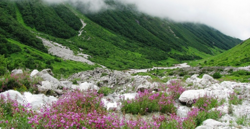
Valley of Flowers National Park 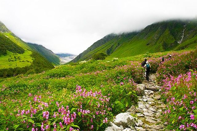
Valley of Flowers National Park -
Araku lies in the Eastern Ghats, around 114 kilometers (71 miles) from Visakhapatnam, near the Odisha state border. The Araku Valley Reserved Forests of Anantagiri and Sunkarimetta are rich in biodiversity and are exploited for bauxite. Galikonda hill, which rises to a height of 5,000 feet (1,500 m), is one of Andhra Pradesh's tallest hills. The average rainfall is 1,700 millimeters (67 in), with the majority falling between June and October. The elevation is approximately 1300 meters above sea level. The valley stretches for around 36 kilometers.
The biodiversity-rich Anantagiri and Sunkarimetta Reserved Forests are both located in Andhra Pradesh's Araku Valley. A short hike through this wooded region will take you to several waterfalls, as well as the old Borra Caves, which have inspired numerous stories. The valley is home to several tribes, and there is a tribal museum devoted to the indigenous. Because coffee plantations are prevalent in the region, there is also a coffee museum that you may visit.
Location: Araku Valley, Andhra Pradesh, India
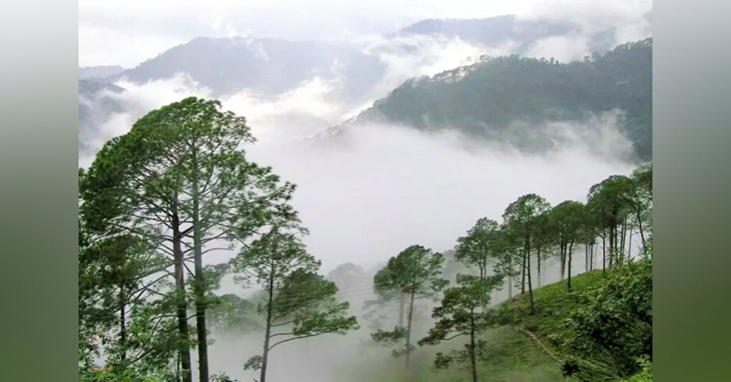
Araku Valley 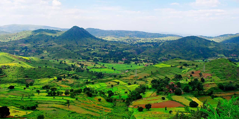
Araku Valley -
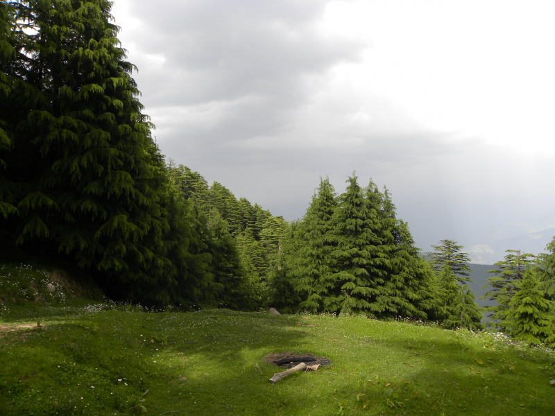
The Kalatop Khajjiar Sanctuary, also known as the Kalatop Sanctuary, is a 30.69 km2 wildlife sanctuary located in the Chamba region of Himachal Pradesh, India. The sanctuary region has well-planned walking paths at both Kalatop and Khajjiar. The sanctuary, which is roughly 6 kilometers from Dalhousie, has a dense deodar and fir forest totaling 19.63 km2. Pheasants, serow, and black bear are among the most frequent creatures found here. The sanctuary is located along the Ravi River, surrounded by coniferous and oak forests.
If you prefer to take it easy, the woodland route in Kalatop-Khajjiar Sanctuary in Himachal Pradesh is ideal. The forest is made up of pine, deodar, and oak trees and is home to a variety of flora and animals, including Himalayan black bears, leopards, deer, and gorals. During the spring and summer seasons, a wide meadow in the center of the sanctuary blooms with lovely wildflowers.
Location: Kalatop-Khajjiar Sanctuary, Himachal Pradesh, India
Kalatop-Khajjiar Sanctuary 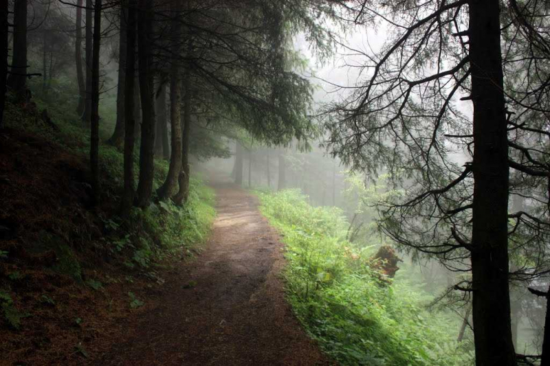
Kalatop-Khajjiar Sanctuary -
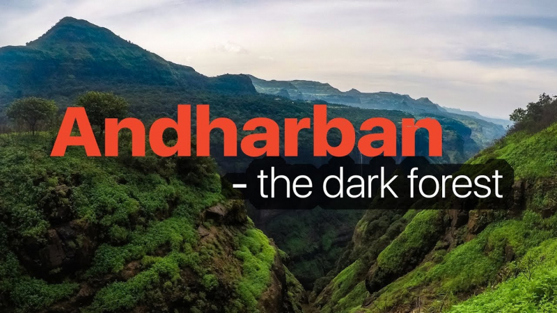
Andharban is also known as the Dark Dense Forest because Andhar means dark in Marathi and ban means dense forest. The magical route of Andharban Forest is best experienced during the monsoon season. The trek began at Pimpri Dam and finished at Bhira Dam, covering a distance of 13 kilometers. During the peak monsoon season, trekking in Andharban is frequently prohibited.
Andharban was one of the most memorable Sahyadri adventures. For obvious reasons, it boasts a rich green dense forest, enthralling streams, awe-inspiring waterfalls, and a lovely Hindi hamlet. If there is such a thing as heaven, Andharban is Sahyadri's heaven. Where you can walk through a hidden impenetrable jungle enveloped in mist, witness a magical view of Kundalika valley, explore small and large streams and waterfalls, and cross those large streams with a view of the valley on one side and a view of the waterfall on the other, with Mysterious Dark Forest waiting to amaze you with its beautiful surprises.
Location: Andharban, Tamini Ghat Road, Gaon, Pimpri, Maharashtra, India
Andharban 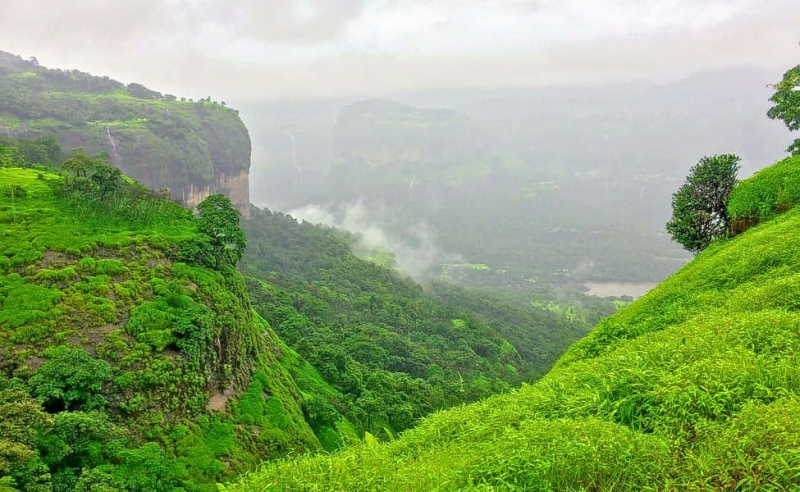
Andharban -
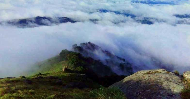
Chokramudi is a summit in Kerala's lovely hill station of Munnar, located in the Western Ghats mountain range. While the view from Chokramudi Peak is stunning, the forest walk that leads to the peak is also breathtaking. A thick shola, a region of stunted tropical forest prevalent in the hills of South India, may be found along the journey. Keep an eye out for the weather, since the rocky route can become hazardous when wet.
Most readers will be unfamiliar with the name. The beautiful hill station is located in the Idukki region of Munnar. The Chokramudi hill, at 7200 feet, is one of Munnar's highest hill stations. The appealing hill station not only allows visitors to study different aspects of hiking but also provides breathtaking and incomparable views of sunrises and sunsets. Take advantage of group travel packages to Kerala to capture the magnificent sights on your camera. The Eravikulam National Park offers spectacular vistas of the Nilgiri Tahr and Gaur while traversing the towering slopes.
Location: Chokramudi Peak, Idukki, Kerala, India
Chokramudi Peak 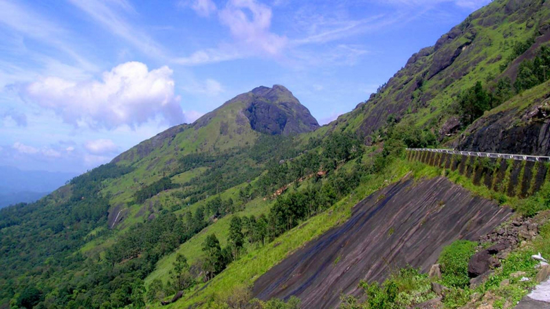
Chokramudi Peak


