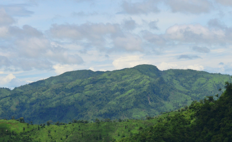
Dumlong

According to Wadud Mohosin Rubel, Asif Aminur Rashid, Nagib Meshkat, and Abdul Haq of the Nature Adventure Club in 2011, the Dumlong or Msha Panji Haphong mountain in Belaichori, Rangamati, Bangladesh, may be the country's second highest mountain. They measured the mountain's height, which is 3314 feet, using a Garmin GPS. The coordinates he recorded, 22°02′02.1′′N 92°35′36.3′′E, exactly match the coordinates provided by Google Earth.
The Travelers of Bangladesh team led by Zaqiul Deep measured this peak as 3,312 feet a few months after his expedition. Following that, Fahim Hasan of BD Explorer became the third team to reach the summit of Dumlong. There is little doubt about the height of Dumlong Peak, but whether it is the second or third highest peak in the country has yet to be determined. It is the highest point in the Rangamati hill district and one of three 1000-meter peaks in Bangladesh.
A long time ago, a fortress was built on the rocks of Mount Dumlong to serve as the capital of the Dumlong Dynasty.
Location: Belaichori, Rangamati, Bangladesh
Elevation: 1,010 m (3,310 ft)