Saka Haphong

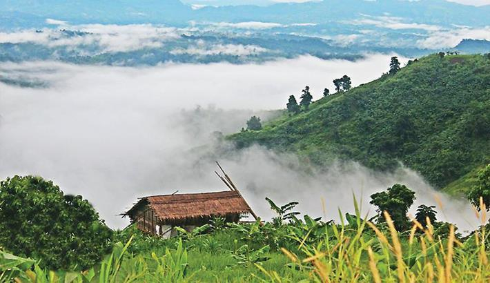
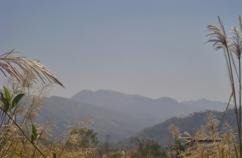
Saka Haphong is a peak in Bangladesh and Myanmar that is frequently regarded as the country's highest point, with an elevation of 1,052 meters (3,451 ft). It is located on the Bangladesh–Myanmar border, between Thanchi, Bandarban, Bangladesh and Chin State, Myanmar.
Saka Haphong was thought to be Bangladesh's highest peak, but recent calculations have revealed that Tazing Dong, which is officially recognized as such, is the highest peak in Bangladesh. Ginge Fullen, an English adventurer, recorded a GPS reading of 1,064 metres on this summit in February 2006. The coordinates he recorded, 21°47′11′′N 92°36′36′′E / 21.78639°N 92.61°E, match the coordinates provided by Russian topographic mapping and SRTM data, though the height is slightly lower, at 1,052 metres. Saka Haphong's height was recently measured by two trekking clubs to be 3,488 and 3,461 feet, respectively, both of which exceed the height of Keokradong, which is 3,172 feet.
Location: between Thanchi, Bandarban, Bangladesh and the Chin State of Myanmar, on the Bangladesh–Myanmar border
Elevation: 1,052 m (3,451 ft)