Thingdawl Te Tlang

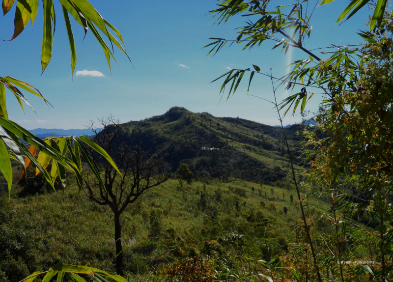
Thingdawlte Tlang is a Bangladeshi mountain. It is the highest point of the Lowmbok Row range and possibly the seventh tallest in the country. Local explorer Fahim Hasan of BD Explorer summited the peak and measured its height for the first time in December 2012. The name of the peak was gathered by BD Explorer and confirmed by locals. The most direct route to the summit begins in Ruma, Bandarban district. Thingdawlte (Bawm) village, after which the peak is named, is the nearest settlement.
Thingdawlte Tlang is a historic and significant peak in Bangladesh. It is located in Ruma Bandarban and is regarded as Bangladesh's sixth (or seventh) highest peak. This peak's parent range is located under Lowmbok Row. This peak is nearly 3,149 feet (959.8 meters) tall. Thingdawlte Tlang is approximately 8 kilometers (5.0 miles) long. Thingdawlte is the closest village to this mountain. The mountain was given the name Thingdawlte Tlang after the village.
Location: Ruma Bandarban, Bangladesh
Elevation: 959.8 m (3,149 ft)