


Top 6 Highest Mountains in Bangladesh

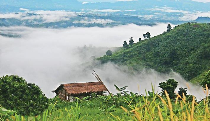
Bangladesh is primarily a low-lying nation. Mountains stand out in Bangladesh because nearly 80 percent of the country is covered by the low Bangladesh Plain. ... read more...The Chittagong Hills contain the majority of the country's highest peaks. The mountains have long been home to various tribes, many of which still live in the area surrounding the mountains in modern-day Bangladesh. The highest mountains in Bangladesh, as measured by elevation, are shown below.
-
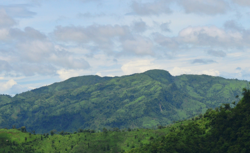
Saka Haphong is a peak in Bangladesh and Myanmar that is frequently regarded as the country's highest point, with an elevation of 1,052 meters (3,451 ft). It is located on the Bangladesh–Myanmar border, between Thanchi, Bandarban, Bangladesh and Chin State, Myanmar.
Saka Haphong was thought to be Bangladesh's highest peak, but recent calculations have revealed that Tazing Dong, which is officially recognized as such, is the highest peak in Bangladesh. Ginge Fullen, an English adventurer, recorded a GPS reading of 1,064 metres on this summit in February 2006. The coordinates he recorded, 21°47′11′′N 92°36′36′′E / 21.78639°N 92.61°E, match the coordinates provided by Russian topographic mapping and SRTM data, though the height is slightly lower, at 1,052 metres. Saka Haphong's height was recently measured by two trekking clubs to be 3,488 and 3,461 feet, respectively, both of which exceed the height of Keokradong, which is 3,172 feet.
Location: between Thanchi, Bandarban, Bangladesh and the Chin State of Myanmar, on the Bangladesh–Myanmar border
Elevation: 1,052 m (3,451 ft)
travelmate.com.bd 
en.wikipedia.org -
Zow Tlang, also known as Reang Haphong, is a mountain located on the Bangladesh–Myanmar border. The mountain's elevation is 1,022 meters.
"Zow" in Bawm means "Mizo," a term derived from Mizoram, India. This is most likely because Bangladesh was a part of Greater India prior to 1947. The word "Tlang" means "mountain." Zow Tlang is referred to as "Mowdok Mual" on American and Russian topographic maps. According to Bangla Trek, it is the country's second highest peak, though it is not officially recognized by the government. Many local adventurers regard this as one of Bangladesh's wildest peaks.
Subrata Das Nitish and Bijoy Shankar Kar, two Bangladeshi adventurers, were the first to reach the summit in 2005. The feat was repeated in 2007 by the same team. The altitude could not be measured in these two expeditions because the team did not have a GPS device with them. Tashdid Rezwan Mugdho, Tarikul Alom Sujon, Salehin Arshady, and S.M. Mainul of the Bangla Trek team summited the peak for the third time on January 12, 2012. They took precise measurements of altitude and location. Mugdho and Sujon, two team members, were killed in a bus crash on their way back to Bandarban. Salehin and Mainul, the other two members, were seriously injured.
On October 13, 2013, a team led by Shahzaman Chowdhury Hira became the third to reach the summit. Sharfaraj Hussain Jony, Sidratul Afia Mohona, Mahbubur Rahman, Abdullah Anas Oni, and Baqui Billah Milon were among the six members of this team. One of the members of this team was the first woman to reach the summit of this mountain. Following that, several other teams reached the summit.
Location: on the Bangladesh–Myanmar border
Elevation: 1,021.69 m (3,352.0 ft)
wikiloc.com 
en.tripadvisor.com.hk -
According to Wadud Mohosin Rubel, Asif Aminur Rashid, Nagib Meshkat, and Abdul Haq of the Nature Adventure Club in 2011, the Dumlong or Msha Panji Haphong mountain in Belaichori, Rangamati, Bangladesh, may be the country's second highest mountain. They measured the mountain's height, which is 3314 feet, using a Garmin GPS. The coordinates he recorded, 22°02′02.1′′N 92°35′36.3′′E, exactly match the coordinates provided by Google Earth.
The Travelers of Bangladesh team led by Zaqiul Deep measured this peak as 3,312 feet a few months after his expedition. Following that, Fahim Hasan of BD Explorer became the third team to reach the summit of Dumlong. There is little doubt about the height of Dumlong Peak, but whether it is the second or third highest peak in the country has yet to be determined. It is the highest point in the Rangamati hill district and one of three 1000-meter peaks in Bangladesh.
A long time ago, a fortress was built on the rocks of Mount Dumlong to serve as the capital of the Dumlong Dynasty.
Location: Belaichori, Rangamati, Bangladesh
Elevation: 1,010 m (3,310 ft)
en.wikipedia.org 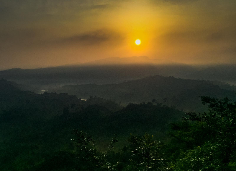
wikiloc.com -
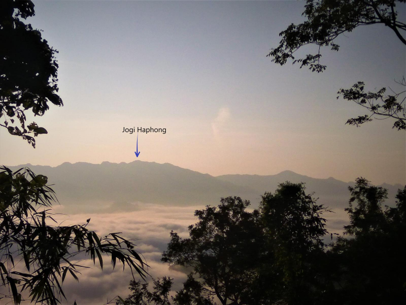
Jogi Haphong is situated directly on the Bandarban-Myanmar border. Jogi Haphong is a favorite among mountaineers. Maybe it was because of the beauty and the difficult ways. It is important to note that Jogi Haphong is Bangladesh's fourth highest peak. Konduk, also known as Jogi Haphong, stands 983 meters (3222 feet) tall.
The mountain, which is part of the Modak Range, is located in a very remote location. The highest peak in Bangladesh is located within the Modak Range. The mountain has severed ties between Bangladesh and Myanmar. It is popular among mountaineers due to its location and reputation.
You must first travel to Thanchi by bus or Jeep from Bandarban. Then, by boat, from Thanchi to Remakri Bazaar, where you will find the path to Dalyan Para for a three-hour walk. You can return to Dalyan Para in a day from Jogi Haphong Peak.
Location: Thanchi, Bandarban, Bangladesh
Elevation: 983 meters (3222 feet)
wikiloc.com Video: Mahdi Al Masud's Youtube Channel -
Keokradong is a 986-metre-high peak located in Bandarban, Bangladesh (3,235 ft). The coordinates of Keokradong are 21° 56′59 N 92° 30′51 E. According to some sources, it is Bangladesh's highest point.
On the summit of Keokradong, there is a small shelter and a signboard posted by the Bangladesh Army stating that the elevation is 967 meters (3,173 ft). The height is 986 metres (3,235 feet) as measured by handheld GPS, with a 3m accuracy.
There is some debate about Bangladesh's highest point, and some sources claim Saka Haphong is the highest point in the country. Tazing Dong (also known as Bijay)- a mountain in Bangladesh, on the other hand, is officially recognized as Bangladesh's highest point.
Keokradong is a popular mountaineering tourist destination in Bangladesh. Keokradong is one of Bangladesh's cloudiest districts.
Location: Ruma Upazila, Bandarban, Bangladesh
Elevation: 986 m (3,235 ft)
en.wikipedia.org 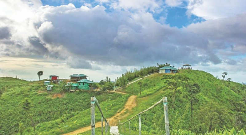
travelmate.com.bd -
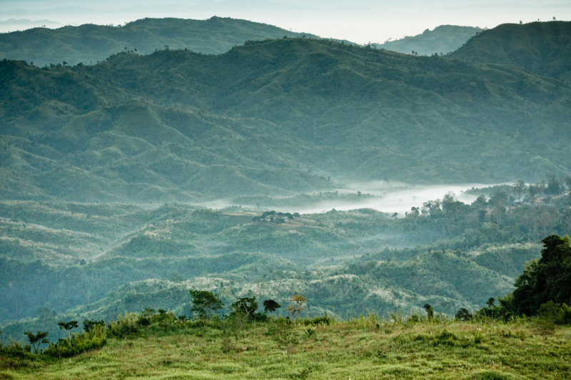
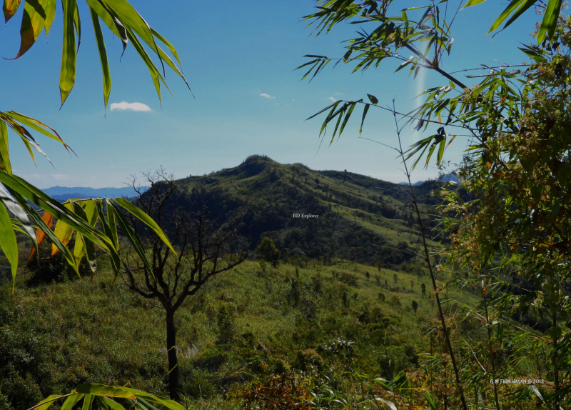
Thingdawlte Tlang is a Bangladeshi mountain. It is the highest point of the Lowmbok Row range and possibly the seventh tallest in the country. Local explorer Fahim Hasan of BD Explorer summited the peak and measured its height for the first time in December 2012. The name of the peak was gathered by BD Explorer and confirmed by locals. The most direct route to the summit begins in Ruma, Bandarban district. Thingdawlte (Bawm) village, after which the peak is named, is the nearest settlement.
Thingdawlte Tlang is a historic and significant peak in Bangladesh. It is located in Ruma Bandarban and is regarded as Bangladesh's sixth (or seventh) highest peak. This peak's parent range is located under Lowmbok Row. This peak is nearly 3,149 feet (959.8 meters) tall. Thingdawlte Tlang is approximately 8 kilometers (5.0 miles) long. Thingdawlte is the closest village to this mountain. The mountain was given the name Thingdawlte Tlang after the village.
Location: Ruma Bandarban, Bangladesh
Elevation: 959.8 m (3,149 ft)
en.wikipedia.org 
mapio.net


