Itimbiri River

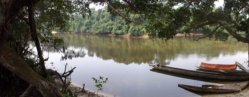
The Itimbiri River is a tributary of the Congo River that meets it above Bumba. It served as a navigable channel for moving goods from the country's northeast to the Congo at one point. The Itimbiri River rises in Bas-Uélé, flows through Mongala, and forms the border between Mongala and Tshopo in its lower reaches.
The Itimbiri River is formed by the Rubi River and the Likati River coming together. The Rubi River rises to the east of Bas-Uélé and runs through Buta to the west. The Likati River rises in the west, runs through Likati, and eventually joins the Rubi in the southeast. On the Uele River, Likati is located south of Bondo.
The Itimbiri is a river that runs in a southwesterly direction. With the main flood in November and a secondary flood in August, and the lowest water in February or early March, water volumes range from 125 to 1,300 cubic metres per second (4,400 to 45,900 cubic feet per second).
Except for the area upstream from Ibembo, where the bottom is very firm gravel, the river is quite meandering and has a sandy bottom. The river expands and separates into multiple streams with low water, making passage by big vessels problematic. The average elevation is 380.27 meters above sea level.
Length: 28 km


