


Top 10 Longest Rivers in Congo

The territory of the Congo spans an area covered by hot and humid equatorial jungle, which corresponds to about two-thirds of the area of the Congo Basin. In ... read more...addition to the Congo River, there are also many of the longest rivers in Congo. Let's explore the beautiful rivers here.
-
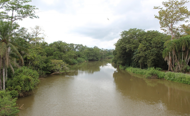
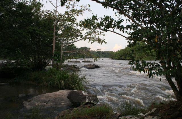
The Chiloango River (Portuguese: Rio Chiluango, also known as Kakongo River, Louango River, Shiloango River, and Rio Hi) flows across western Central Africa. It constitutes the westernmost section of the boundary between the DRC and the Republic of Congo, then about half of the border between the DRC and Cabinda, Angola, passing just south of the town of Necuto.
The Chiloango River then bisects Cabinda, making it the province's most significant river. It flows into the Atlantic Ocean slightly north of Cacongo. This river is home to a variety of intriguing insects and fish. Pellegrin (1928) identified 28 species in the Republic of Congo (previously 'French' CongoChiloango )'s River.
The two volumes published by Stiassny et al. looked at the freshwater fishes of Lower Guinea, Central West Africa, which included Cabinda (2007). Like some other rivers, this river is surrounded by two rows of dense trees on both sides, or can be considered a shady green forest. Visitors will be able to get a boat driven by locals to cruise along this river. This river is one of longest Rivers in Congo.
Length: 160 km
https://en.wikipedia.org/wiki/Chiloango_River 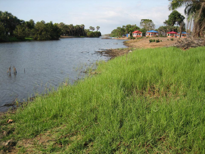
https://en.wikipedia.org/wiki/Chiloango_River -
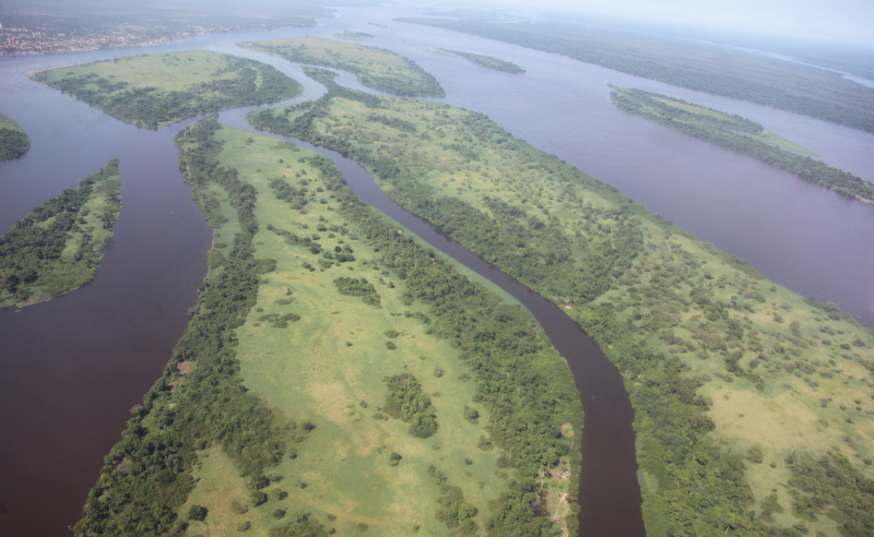
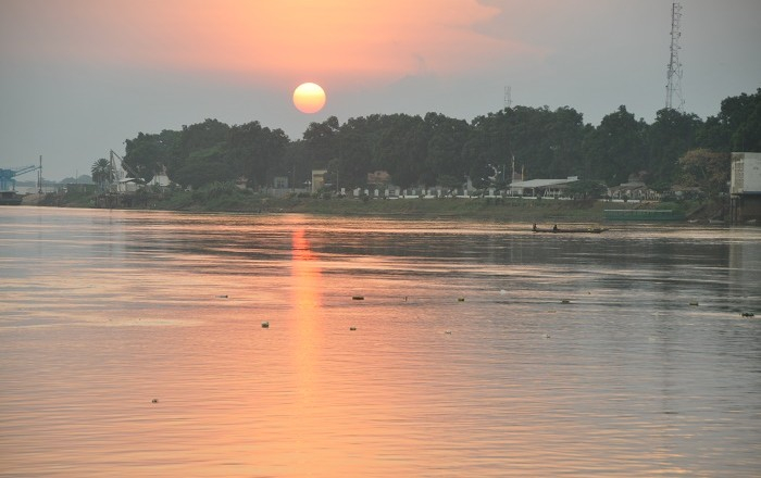
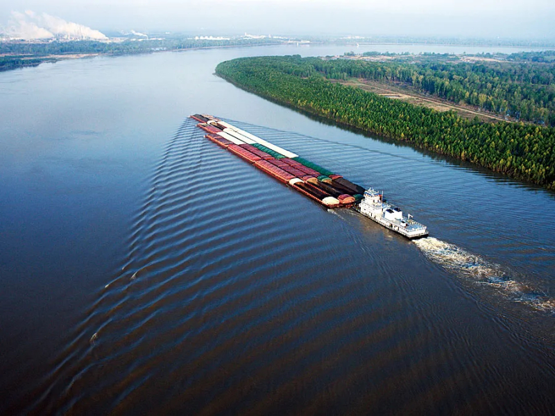
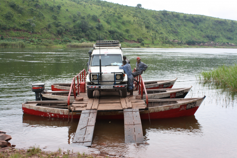
The Congo River (Kongo: Nzâdi Kôngo, French: Fleuve Congo, Portuguese: Rio Congo), originally known as the Zaire River, is Africa's second-longest river, trailing only the Nile. It is also the world's second-largest river by discharge volume, trailing only the Amazon. It's also the world's deepest river, with measured depths of above 220 meters (720 ft).
The Congo-Lualaba-Chambeshi River System is the world's ninth-longest river, with a total length of 4,700 kilometres (2,920 mi). The Chambeshi is a tributary of the Lualaba River, which flows upstream of Boyoma Falls and stretches over 1,800 kilometers (1,120 mi). The name Congo River comes from the Kingdom of Kongo, which was previously located on the river's southern bank.
The kingdom was called after the local Bantu Kongo people, who were known as "Esikongo" in the 17th century. The Kakongo kingdom, described in 1535, was located south of the Kingdom of Kongo proper. The settlement near the river's mouth was called "Manicongo" by Abraham Ortelius on his globe map of 1564. Kongo tribe names might be derived from a term meaning "public meeting" or "tribal assembly." The Kongo people's present name, Bakongo, was coined in the early twentieth century. This river is the longest Rivers in Congo.
Length: 4700 km
https://en.wikipedia.org/wiki/Congo_River 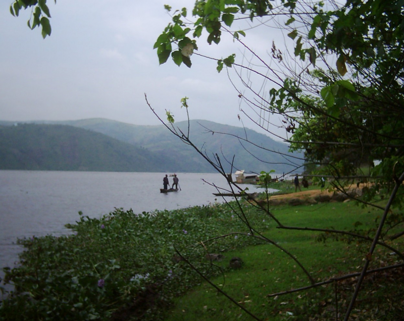
https://en.wikipedia.org/wiki/Congo_River -
The Ubangi River, often written Oubangui, is the Congo River's greatest right-bank tributary in Central Africa. It originates at the junction of the Mbomou and Uele Rivers (mean annual discharge 1,350 m3/s and 1,550 m3/s, respectively) and flows west, marking the boundary between the Central African Republic (CAR) and the Democratic Republic of the Congo.
After passing through Bangui, the capital of the Central African Republic, the Ubangi bends southwest and flows south, marking the boundary between the Democratic Republic of the Congo and the Republic of Congo. At Liranga, the Ubangi enters the Congo River. The Ubangi is approximately 1,060 kilometers long (660 mi). It has a total length of 2,270 kilometers, including the Uele, its longest tributary (1,410 mi).
The drainage basin of the Ubangi is approximately 651,915 square kilometers (251,706 sq mi). Before being conquered by the Congo in the early Pleistocene, the Ubangi's upper reaches are thought to have flowed into the Chari River and Lake Chad. It serves as a vital transportation corridor for river boats traveling between Bangui and Brazzaville, and it connects to the Congo River.
The Ubangi River defines the border between the Central African Republic and the Democratic Republic of the Congo from its source to 100 kilometers (62 miles) below Bangui (DRC). After then, it serves as a border between the Democratic Republic of Congo and the Republic of Congo until it flows into the Congo River. This river is one of longest Rivers in Congo.
Length: 1060 km
https://en.wikipedia.org/wiki/Ubangi_River 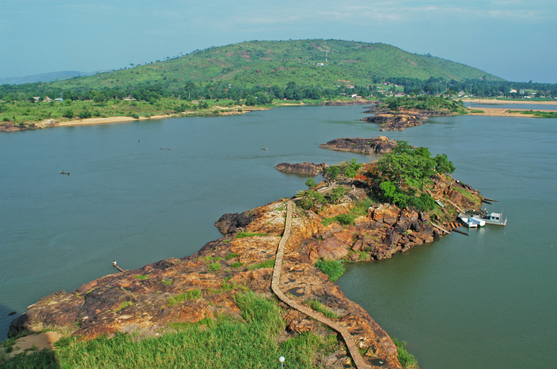
https://en.wikipedia.org/wiki/Ubangi_River -
In the Democratic Republic of Congo, there is Ruki River. It is a Congo River tributary on the left bank. It might be compared to the lower reaches of the Busira River, which could be compared to the lower reaches of the Tshuapa River.
The Ruki River is a prominent river in the middle Congo River basin's Cuvette Centrale. The watershed is approximately 14,000,000 square kilometers in size (5,400,000 sq mi). Almost all of the lowland and marsh forest in the drainage basin is untouched. The Ruki River originates above Ingende, where the Momboyo River joins the Busira River on the left and flows west-northwest.
It joins the Congo from the east, passing via Mbandaka to the north. The Ruki and its main tributary, the Busira, are navigable all year since the depth is always greater than 1 metre (3 ft 3 in) and exceeds 2 metres (6 ft 7 in) during the flood season. March-April and November are the months with the highest water levels. February and June-July are the months with the lowest water levels. This river is one of longest Rivers in Congo.
Length: 105 km
https://ajourneywithmyopa.wordpress.com/ 
https://ajourneywithmyopa.wordpress.com/ -
In the Democratic Republic of the Congo, therre is Ikelemba River. It is a Congo River tributary on the left bank. From east to west, the Ikelemba River flows in an arc. From Bombimba to where it meets the Congo River, it is navigable for 137 kilometers (85 miles).
Ikelemba River flows into the Congo from the east, slightly north of the Congo River's confluence with the Ruki River. The Lulonga, Ikelemba, and Busira all contribute to the Mbandaka flooded woods, which span 10,415 square kilometers of continuously flooded land (4,021 sq mi).
During the colonial time, Henry Morton Stanley, an explorer, paid a visit to the area. The Ikelemba enters the Congo roughly 30 miles (48 kilometers) above the Mohindu or Buruki River, according to him (Ruki River). He calculated that it would open up 125 miles (201 kilometers) of river for commerce, and that it was the Bakuti tribe's commercial reserve.
Length: 137 km
https://en.wikipedia.org/ 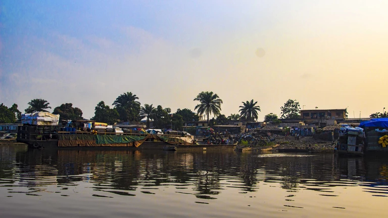
https://en.wikipedia.org/ -
The Tshuapa River begins in the Sankuru Nature Reserve to the south and meanders north-northwest to Elinga-Mpango, then on to Bondo, where it flows west-northwest to Boende, where it joins the Lomela River to form the Busira River. The Congo River is 408 kilometers (254 miles) away from here. On the Congo River, Boende lies 29 kilometers (18 miles) from the confluence and 444 kilometers (276 miles) from Mbandaka.
The confluence of the Tshuapa River and Lomela rivers is located in the Congo Basin's central depression. There is no dry season, and annual rainfall averages 2,000 millimetres. Flooding affects 20–25 percent of the land in some portions of the Tshuapa basin. Along the Tshuapa River, a permanent swamp forest spreads for 156 kilometers (97 miles). From its confluence with the Lomela to its end at Elinga-Mpango, the Tshuapa has a navigable length of 825 kilometers (513 miles).
The 555-kilometer (345-mile) segment of the river from its mouth to Ikela can be sailed all year by 350 tom barges, albeit there are a few tight bends to negotiate. It can transport 40 ton barges all year round from Ikela to Bondo, a distance of 696 kilometers (432 miles). A rocky bench may be seen 3 kilometers (1.9 miles) upstream from Bondo. The river narrows and winds more from Bondo to Elinga-Mpango, and it is not navigable all year.
Length: 825 km
https://en.wikipedia.org/ 
https://en.wikipedia.org/ -
The Mongala River is 285 kilometers (177 miles) long, or 510 kilometers (320 miles) if you add the Ebola tributary. It is produced by the confluence of the Dwa River and the Ebola River, which is located upstream from Businga in Nord-Ubangi province.
Mongala River runs southwest and then south through Likimi on the right bank, then west via Binga on the left bank and finally southwest to Mobeka, where it meets the Congo River on the right bank. It forms the western border between Mongala and Sud-Ubangi provinces for the majority of its length.
The remaining little portion of the river goes between Mongala and Équateur provinces near its mouth. Despite the animosity of the locals, who sought to seize the steamers, Belgian soldier Ernest Baert launched two excursions of the Mongala River. On November 23, 1886, he departed Bangala and ascended the Mongala on the A.I.A. for 66 hours to the furthest point reached by his predecessors George Grenfell and Camille Coquilhat, where he encountered a large local population that grew increasingly hostile as the expedition advanced and was attacked several times. On December 1, 1886, he arrived at Mongandi and the Ebola-Dwa confluence, where he established a station before returning to Bangalas.Length: 285 km
https://www.flickr.com/ 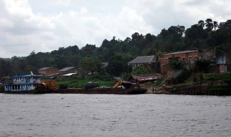
https://www.flickr.com/ -
The Itimbiri River is a tributary of the Congo River that meets it above Bumba. It served as a navigable channel for moving goods from the country's northeast to the Congo at one point. The Itimbiri River rises in Bas-Uélé, flows through Mongala, and forms the border between Mongala and Tshopo in its lower reaches.
The Itimbiri River is formed by the Rubi River and the Likati River coming together. The Rubi River rises to the east of Bas-Uélé and runs through Buta to the west. The Likati River rises in the west, runs through Likati, and eventually joins the Rubi in the southeast. On the Uele River, Likati is located south of Bondo.
The Itimbiri is a river that runs in a southwesterly direction. With the main flood in November and a secondary flood in August, and the lowest water in February or early March, water volumes range from 125 to 1,300 cubic metres per second (4,400 to 45,900 cubic feet per second).
Except for the area upstream from Ibembo, where the bottom is very firm gravel, the river is quite meandering and has a sandy bottom. The river expands and separates into multiple streams with low water, making passage by big vessels problematic. The average elevation is 380.27 meters above sea level.
Length: 28 km
https://en.wikipedia.org/wiki/Itimbiri_River 
https://en.wikipedia.org/wiki/Itimbiri_River -
The Luvua River (or Lowa River) is a river in the Democratic Republic of the Congo's Katanga Province (DRC). It runs northwesterly approximately 350 kilometers (220 miles) from the northern end of Lake Mweru on the Zambia-Congo border to its confluence with the Lualaba River opposite the town of Ankoro.
Below the Boyoma Falls, the Luvua River enters the Congo River. Lake Mweru, at a height of around 1,000 meters (3,300 feet), is a floodplain lake produced by erosion caused by alluvium pushed off by the wind. As it descends from the plateau into the Congo Basin, the river is impeded by a succession of rapids, torrents, and cataracts.
The falls at Piana Mwanga produce energy for the Manono and Kitotolo mines. For 160 kilometers (99 miles) below Kiambi, the river may be navigated in shallow-draft boats. Between March and May, the Luvua reaches its maximum flow, with slightly reduced discharge between September and November. This river is one of longest Rivers in Congo.
Length: 350 km
https://en.wikipedia.org/wiki/Luvua_River 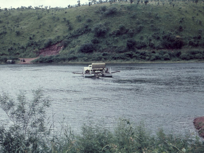
https://en.wikipedia.org/wiki/Luvua_River -
The Lukuga River travels along the Katanga Plateau's northern side. The river emerges from Lake Tanganyika in Kalemie and travels westward through the Tanganyika District, eventually joining the Lualaba between Kabalo and Kongolo. The river usually contributes for 18% of the water loss from the lake, with the remainder coming through evaporation.
Mineralization is abundant in the Lukuga. The Albertine Rift's hydrothermal inputs influence the proportions of ionic contents where the Lukuga River exits the lake, with magnesium and potassium more frequent than calcium and sodium, as found also at the outflows of Lake Kivu and Lake Edward. The Lukuga is of great importance to hydrologists because the volume of water it transports from the lake changes dramatically over time.
The Lukuga River flow is highest in May and lowest in November, which corresponds to seasonal variations in lake level. Longer-term climatic fluctuations, such as the Neolithic Subpluvial circa 4000 BC, had a considerable impact on the river. The outflow has tended to grow since 1965, despite the fact that the Congo's total outflow has been reducing.
The Lukuga developed just recently, offering a pathway for aquatic species from the Congo Basin to populate Lake Tanganyika. Hippopotamus and crocodiles live in the river. Low-grade coal resources may be found north of Kalemie and Moluba along the river's tributaries. This river is one of longest Rivers in Congo.
Length: 320 km
https://mapio.net/pic/ 
https://mapio.net/pic/


