Luvua River

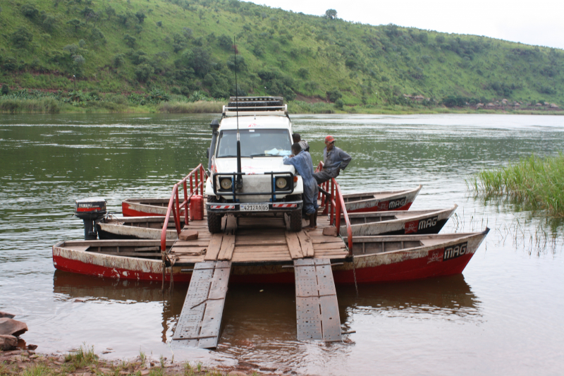
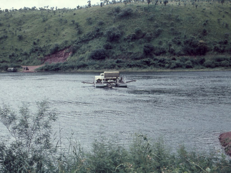
The Luvua River (or Lowa River) is a river in the Democratic Republic of the Congo's Katanga Province (DRC). It runs northwesterly approximately 350 kilometers (220 miles) from the northern end of Lake Mweru on the Zambia-Congo border to its confluence with the Lualaba River opposite the town of Ankoro.
Below the Boyoma Falls, the Luvua River enters the Congo River. Lake Mweru, at a height of around 1,000 meters (3,300 feet), is a floodplain lake produced by erosion caused by alluvium pushed off by the wind. As it descends from the plateau into the Congo Basin, the river is impeded by a succession of rapids, torrents, and cataracts.
The falls at Piana Mwanga produce energy for the Manono and Kitotolo mines. For 160 kilometers (99 miles) below Kiambi, the river may be navigated in shallow-draft boats. Between March and May, the Luvua reaches its maximum flow, with slightly reduced discharge between September and November. This river is one of longest Rivers in Congo.
Length: 350 km


