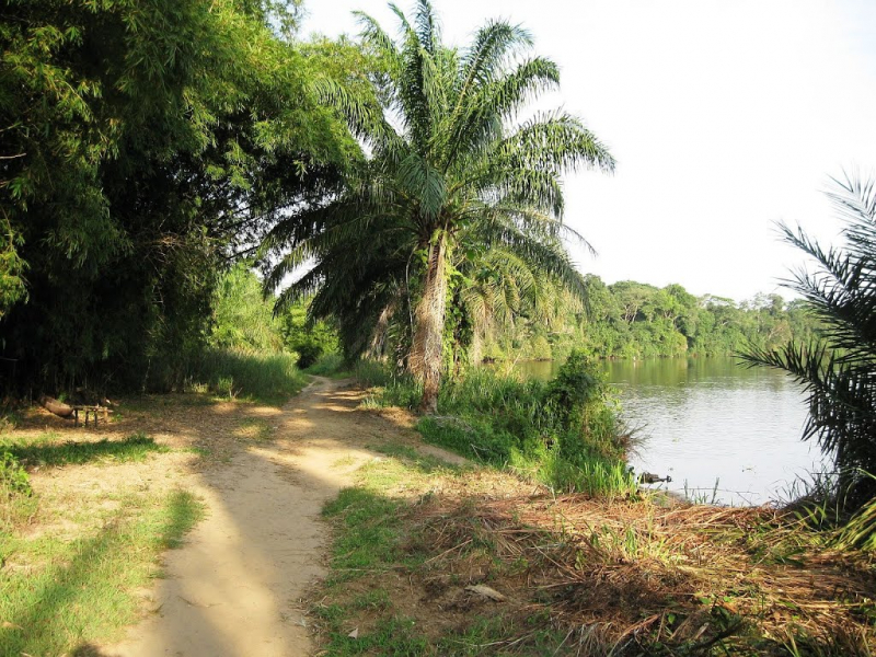
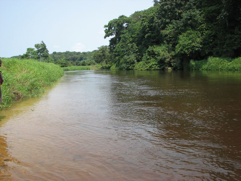
Tshuapa River

The Tshuapa River begins in the Sankuru Nature Reserve to the south and meanders north-northwest to Elinga-Mpango, then on to Bondo, where it flows west-northwest to Boende, where it joins the Lomela River to form the Busira River. The Congo River is 408 kilometers (254 miles) away from here. On the Congo River, Boende lies 29 kilometers (18 miles) from the confluence and 444 kilometers (276 miles) from Mbandaka.
The confluence of the Tshuapa River and Lomela rivers is located in the Congo Basin's central depression. There is no dry season, and annual rainfall averages 2,000 millimetres. Flooding affects 20–25 percent of the land in some portions of the Tshuapa basin. Along the Tshuapa River, a permanent swamp forest spreads for 156 kilometers (97 miles). From its confluence with the Lomela to its end at Elinga-Mpango, the Tshuapa has a navigable length of 825 kilometers (513 miles).
The 555-kilometer (345-mile) segment of the river from its mouth to Ikela can be sailed all year by 350 tom barges, albeit there are a few tight bends to negotiate. It can transport 40 ton barges all year round from Ikela to Bondo, a distance of 696 kilometers (432 miles). A rocky bench may be seen 3 kilometers (1.9 miles) upstream from Bondo. The river narrows and winds more from Bondo to Elinga-Mpango, and it is not navigable all year.
Length: 825 km


