Tuma River


Nicaragua's Tuma River is a river that flows across the country. The Tuma is 180 kilometers in length (110 mi).
The Jinotega and Matagalpa Departments, North Caribbean Coast Autonomous Region, and South Caribbean Coast Autonomous Region are home to the river, which is a left tributary of the Ro Grande de Matagalpa.
The Tuma River's source is in Jinotega Department, some 250 kilometers northeast of Managua, Nicaragua's capital. The river flows eastward, crossing into Matagalpa Department, and forming the border between Matagalpa Department and the North Caribbean Coast Autonomous Region, as well as the North Caribbean Coast Autonomous Region and the South Caribbean Coast Autonomous Region, where it joins the Ro Grande de Matagalpa in its lower course.
El Tuma in the Matagalpa Department and Mulukuku in the North Caribbean Coast Autonomous Region are the two largest settlements on the Tuma's banks.
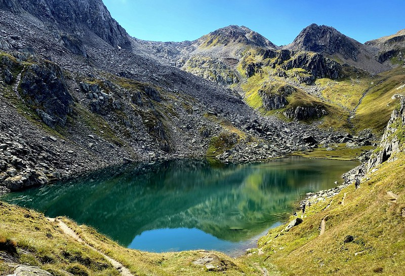
President Luis Somoza Debayle chose to dam the river with the Mancotal Dam in 1964 to create Apanás Lake, Nicaragua's first man-made lake, which supplies electricity to the Centroamérica hydropower plant in the country's Central Highlands. It is also a significant recreational location, since the river and lake attract a significant amount of visitors to Jinotega. It is one of the longest rivers in Nicaragua.
Length: 180 km